Unit 7 Test review CLASS SET – PLEASE DO NOT MARK ON THIS
advertisement
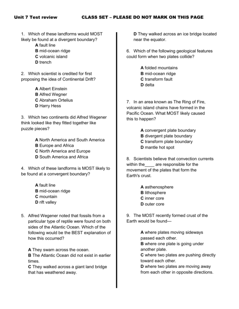
Unit 7 Test review CLASS SET – PLEASE DO NOT MARK ON THIS PAGE 1. Which of these landforms would MOST likely be found at a divergent boundary? A fault line B mid-ocean ridge C volcanic island D trench 2. Which scientist is credited for first proposing the idea of Continental Drift? A Albert Einstein B Alfred Wegner C Abraham Ortelius D Harry Hess 3. Which two continents did Alfred Wegener think looked like they fitted together like puzzle pieces? A North America and South America B Europe and Africa C North America and Europe D South America and Africa 4. Which of these landforms is MOST likely to be found at a convergent boundary? A fault line B mid-ocean ridge C mountain D rift valley 5. Alfred Wegener noted that fossils from a particular type of reptile were found on both sides of the Atlantic Ocean. Which of the following would be the BEST explanation of how this occurred? A They swam across the ocean. B The Atlantic Ocean did not exist in earlier times. C They walked across a giant land bridge that has weathered away. D They walked across an ice bridge located near the equator. 6. Which of the following geological features could form when two plates collide? A folded mountains B mid-ocean ridge C transform fault D delta 7. In an area known as The Ring of Fire, volcanic island chains have formed in the Pacific Ocean. What MOST likely caused this to happen? A convergent plate boundary B divergent plate boundary C transform plate boundary D mantle hot spot 8. Scientists believe that convection currents within the____ are responsible for the movement of the plates that form the Earth's crust. A asthenosphere B lithosphere C inner core D outer core 9. The MOST recently formed crust of the Earth would be found— A where plates moving sideways passed each other. B where one plate is going under another plate. C where two plates are pushing directly toward each other. D where two plates are moving away from each other in opposite directions. Unit 7 Test review CLASS SET – PLEASE DO NOT MARK ON THIS PAGE 10. Using the piece of topographic map below, in which direction would you expect a river delta (where the river empties into the ocean) to be formed? A to the left B to the right C to the top D to the bottom 11. If the river in the topographic map illustrated in the previous question cut a deeper canyon over time, what might the topographic map of the area look like? A B C D 12. Use the topographic map below to predict how the land form may be reshaped by weathering. A Weathering could reshape the top of the land form to increase elevation. B Weathering could reshape the top of the land form to decrease elevation. C Weathering could reshape the right side of the land form to create a cave. D Weathering could reshape the land form to create a canyon. 13. Which of the following is NOT evidence of Plate Tectonics? A Puzzle-like fit between South America and Africa B Identical fossil samples found on continents separated by an ocean C Geologic features, such as mountain ranges that extend from one continent to another across vast distances Unit 7 Test review CLASS SET – PLEASE DO NOT MARK ON THIS PAGE D Formation of the Grand Canyon USE THE FOLLOWING MODEL FOR THE NEXT FOUR QUESTIONS. 14. Where would the youngest ocean floor be found? A I B II C III D IV 16. Which area on the terrain above demonstrates an area with a divergent plate boundary? A A 15. Which area on the terrain above demonstrates a convergent plate boundary? A A B B C C D D B B C C D D 17. Where would the ocean floor be the oldest? A I B II C III D IV 18. Which plastic-like layer of the Earth do tectonic plates ride on top of? A B C D asthenosphere atmosphere lithosphere stratosphere 19. Which type of map would be most useful in studying the shape and size of an erosional land feature? A B C D Topographic Map Economic Map Road Map Political Map 20. Long mountain chains that divide the seafloor and create new crust as magma rises and erupts from the asthenosphere onto Earth’s surface are known as: A B C D magnetic poles mid-ocean ridges ocean trenches subduction zones 21. “Relief” on a topographic map refers to: A Average elevation on a map Unit 7 Test review CLASS SET – PLEASE DO NOT MARK ON THIS PAGE B The connection of equal points of elevation D The relationship between distance on the on a map map and the true distance on land C The difference between the highest and lowest points on a map The following is a model of how a volcano is formed in the ocean. Clay has been used to represent lava coming out of the ground. The clay is pushed through a hole in the bottom of a fish tank. The following forms: 22. Which of the following series of topographic maps represents the formation and weathering of the volcano in the clay model? 3 [ T y p e Use the topographic map to the right to questions 23-27. A B C D 4, 2, 1, 3, 5 5, 1, 2, 3, 4 1, 2, 3, 4, 5 3, 1, 4, 2, 5 a Use your griddable to answer questions 23-25. q 23. Calculate is the difference in elevation between Point A u and Point B. o t e 24. What is the interval between contours on this map? 1 [ T y p4 e 2 5 a q u o t e f r o m A B f t r 25. The scale of the map is 1 inch = 10 miles. If the distance on the map between Point A and Point B is 2.5 h o inches, then what is the actual distance between the two points? e m Use complete sentences to answer 26tand 27. h e d o d o c u m e Unit 7 Test review CLASS SET – PLEASE DO NOT MARK ON THIS PAGE 26. Describe what type of crustal feature is most likely shown in the map. Explain your answer. 27. Compare the regions identified by a star and triangle in terms of slope. Which would be best for setting up a campsite? Explain your answer.


