Lab handout - People Server at UNCW
advertisement
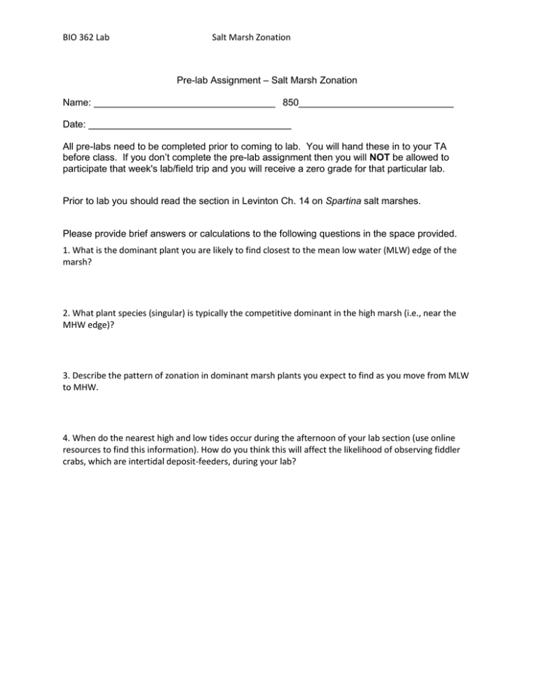
BIO 362 Lab Salt Marsh Zonation Pre-lab Assignment – Salt Marsh Zonation Name: __________________________________ 850_____________________________ Date: ______________________________________ All pre-labs need to be completed prior to coming to lab. You will hand these in to your TA before class. If you don’t complete the pre-lab assignment then you will NOT be allowed to participate that week's lab/field trip and you will receive a zero grade for that particular lab. Prior to lab you should read the section in Levinton Ch. 14 on Spartina salt marshes. Please provide brief answers or calculations to the following questions in the space provided. 1. What is the dominant plant you are likely to find closest to the mean low water (MLW) edge of the marsh? 2. What plant species (singular) is typically the competitive dominant in the high marsh (i.e., near the MHW edge)? 3. Describe the pattern of zonation in dominant marsh plants you expect to find as you move from MLW to MHW. 4. When do the nearest high and low tides occur during the afternoon of your lab section (use online resources to find this information). How do you think this will affect the likelihood of observing fiddler crabs, which are intertidal deposit-feeders, during your lab? BIO 362 Lab Salt Marsh Zonation Salt Marsh Zonation Lab Salt marshes are communities dominated by terrestrial plants that are tolerant to saltwater exposure. These communities typically exhibit distinct vertical zonation. Plants with greater tolerance to physical stress are found at lower elevations, closer to the water and plants that are better competitors are found at higher elevations further from the water. The goal of this lab is to explore how vertical zonation in salt marshes is reflected in the different species assemblages one finds at different distances and elevations relative to the water. Materials Each team should bring the following with them in the van: 1PVC measuring pole 1 fiberglass staff 1 transect tape 1 quadrat Your personal field guide and a “Salt Marsh Plants” photocopy (available in the lab) 1 bucket 1 shovel or trowel Procedure Lay out the measuring tape starting at the water line and extending up the marsh approximately 100 m (to the treeline). We are going to sample approximately 10 stations (depending on the current tide height) at 10 m intervals starting at the water. There is only one 100 m tape so the groups will share. At each sampling station lay down your quadrat and record the following data : a) # and species of plants (e.g. count stems of Spartina alterniflora and other plants) b) Vegetation canopy height (Use PVC measuring pole) c) # fiddler crab burrows d) # and species snails present e) # and species of any other organisms present. Place any organisms you are uncertain of in bucket and bring back to lab (you may have to dig!). Make sure you note which quadrat each of these organisms came from. f) distance from the water line Separately, a subgroup will record elevation relative to the waterline at each 10 m sampling station using the PVC poles, following the procedure sketched out in the “Elevation procedure” document. Back at the lab: Enter data to share with classmates. These data will form the basis of your formal Lab Report. Discuss potential hypotheses that could be tested with these data.

