Ch 5 physical geogrpahy of the U.S. and Canada slides
advertisement
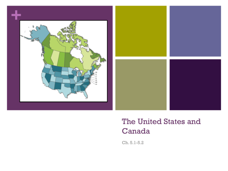
+ The United States and Canada Ch. 5.1-5.2 + Similarities Both the US and Canada were colonies of Great Britain Both are primarily English speaking Similar physical and cultural geography 2nd (Canada) and 3rd (USA) largest countries in the world Both abundant in natural resources + Physical Geography There is a wide variety of landforms throughout the US and Canada. Major The landform divisions are as follows: Eastern Lowlands The Appalachian Highlands The Interior Lowlands The Western Mountains, Plateaus, and Basins + + Eastern Lowlands A flat, coastal plain that runs along the Atlantic Ocean and the Gulf of Mexico. The Atlantic Coastal Plain is home to many excellent harbors providing an ideal home for major coastal cities including Boston and Charleston. The Mississippi Rivers empties into the gulf in this region. The Piedmont Region is an area found between the plains and the Appalachian Highlands. It is a low plateau at the foot of the mountains with many rivers and hills. + + Appalachian Highlands The Appalachian Mountains are found in this region. The mountains extend from Newfoundland, Canada down to Alabama (1,600 miles). Mountain ranges found in the Appalachian Mountains include: Green, Catskill, Blue Ridge, Great Smoky Mountains. More than 400 million years old. This range has eroded over time. The elevation is relatively low for a mountain range. The Appalachian Trail spans the entire length of the range. + + Interior Lowlands A huge expanse of mainly level land. Contains some of the world’s most fertile soil. Divided into 3 subregions: The Interior Plains The Great Plains The Canadian Shield The Great Plains is a mostly treeless area about 4,000 ft above sea level The Canadian Shield is a rocky, flat area covering most of the Hudson Bay area. + + Western Mountains, Plateaus, and Basins This area includes the Rocky Mountains. The Rockies extend from Alaska, through Canada, to New Mexico. This is a young mountain range. It has a much higher average elevation than the Appalachian Mountains. The Continental Divide is the line of highest points in the Rockies that separates rives flowing eastward and westward. + Western Mountains, Plateaus, and Basins This area also includes a large amount of mixed landforms extending to the Pacific Ocean. Major This earthquakes occur in this area. Pacific Mountain and Valley area is made up of steep cliffs, deep canyons, and lowland deserts (basins). + Western Mountains, Plateaus, and Basins Death Valley is located at the western edge of the Great Basin in California. It is the lowest point in the Western Hemisphere at 282 ft below sea level. Temperatures can top 130°F + + Bodies of Water Great Lakes Huron Ontario Michigan Erie Superior *(HOMES) + Bodies of Water Rivers Mississippi (longest in the USA) Missouri River feeds into the Mississippi Ohio River also feeds into the Mississippi Mackenzie River (longest river in Canada) Flows across the Northwest Territories to the Arctic Ocean Rio Grande River Serves as a border between the USA and Mexico Empties into the Gulf of Mexico + Bodies of Water Hudson Bay Large body of water in Northern Canada Extends from the Atlantic Ocean Gulf of Mexico Large body of water south of the USA + Bodies of Water St. Lawrence Created Seaway by the USA and Canada Most important deepwater ship route in North America Connects the Great Lakes to the Atlantic Ocean by way of the St. Lawrence River Ships are raised and lowered by a series of “locks” This enables huge vessels to sail into the industrial and agricultural heartland of North America + St. Lawrence Seaway + Resources The US and Canada hold an abundance of natural resources Large lakes and rivers provide transportation, irrigation, abundant fishing, and hydroelectric power Lakes and rivers also sustain important shipping industries in North America Both countries contain some of the most fertile soil in the world (mainly the plains regions and river valleys) North America is the world’s leading food exporter One-half of Canada and one-third of America is covered by woodlands. Both countries are major producers of lumber and forest products + Climate and Vegetation North America is home to a large variety of climate and vegetation Most of the USA is in the mid-latitudes Canada has cooler temperatures because it lies in higher latitudes + Climate and Vegetation Colder Climates Tundra Alaska and Canada both have arctic regions known as tundra Winters are long and bitter cold Summers are short and cool Evergreen trees are found in vast quantities here Permafrost can be found in some areas as well Highland The Rocky Mountains and Pacific ranges Colder temperatures Little vegetation + Climate and Vegetation Moderate Humid Climates Continental Interior USA and Canada Winters are cold and summers are warm One of the best agricultural areas in the world Marine West Coast The Rocky Mountains trap moisture along the pacific coast Affected areas in Washington, Canada, and Oregon are typically rainy California redwoods are a product of this climate zone + Climate and Vegetation Milder Humid Climates (primarily USA) Subtropical Southern United States Mediterranean Central and southern coasts of California Dry Climates (Only USA) Semiarid Great Plains Desert Southwestern USA + Climate and Vegetation Tropical Climates (Only USA) Tropical Wet Hawaii Tropical Wet and Dry Southern Florida Includes the everglades **Consult Climate Chart from Chapter 3 for information on all climate zones

