building strong - The Association of State Floodplain Managers
advertisement
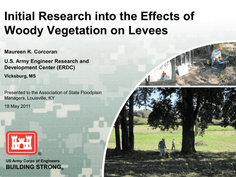
Initial Research into the Effects of Woody Vegetation on Levees Maureen K. Corcoran U.S. Army Engineer Research and Development Center (ERDC) Vicksburg, MS Presented to the Association of State Floodplain Managers, Louisville, KY 18 May 2011 US Army Corps of Engineers BUILDING STRONG® Background 2007 – Nationwide levee inspection identified maintenance deficiencies on 122 levee systems, many due to woody vegetation closer than 15 ft from levee toe ► Feb 2007 – HQCorps engaged ERDC to perform extensive literature review of the effects of woody vegetation on the structural integrity of levees ► Aug 2007 – Literature review identified research gaps leading to present effort ► Dec ► Sept 2009 – ERDC begins initial research BUILDING STRONG® Purpose What is driving the research? The need for scientific support to quantify effects of woody vegetation on levees Quantify the impact of woody vegetation on levee performance using scientific and engineering methods BUILDING STRONG® Focus of Initial Research Focus on two processes within failure mechanisms: ► Seepage analysis: Initiation of internal erosion ► Slope stability analysis: Simple, deep-seated slope stability BUILDING STRONG® Research Tasks Task 1 – Conduct an Extensive Literature review Task 2 – Select Study Sites Task 3 – Field Data Collection Task 4 – Numerical Model Simulation BUILDING STRONG® Approach Task 1- Conduct an extensive literature review ► Compilation of documents, government reports, international guidance, and journal articles concerning woody vegetation on levees Task 2- Select study sites ► Considered levee geometry, soils, geology, geographic setting, geotechnical reports, and tree species Site Characterization Sacramento, CA Burlington, WA Portland, OR Albuquerque, NM Site Assessments Danville, PA Boca Raton, FL New Orleans, LA Lake Providence, LA Lewisville, TX Vicksburg, MS BUILDING STRONG® Lake Providence, LA BUILDING STRONG® Approach Task 3- Field Data Collection • a. b. c. d. Tool selection based on published research and consultation with experts in academia and private industry Tree properties and identification • Recorded tree species and their specific properties • Used existing literature to determine general root extent Root architecture • Geophysical and in situ root mapping were used to define root system Root reinforcement for slope stability • The strengthening effect of root systems were determined from a root pull-out apparatus that was applied in the field to measure tensile strength of roots Soil properties • Existing geotechnical reports contributed to representative cross sections BUILDING STRONG® Field Data Collection Task 3a- Tree Properties and Identification Purpose – Trees and their properties were recorded both from the field and existing literature for slope stability and seepage model input Height (ft) Root Depth (in) Portland, OR 35 24 Thuja plicata Burlington, WA 40 30 Valley oak Quercus lobata Sacramento, CA 35 42 Alder Alnus rubra Burlington, WA 50 25 Common Name Scientific Name Location Oregon ash Fraxinus latifolia Cedar BUILDING STRONG® Task 3. Field Data Collection b. Root Architecture – Geophysical Purpose – to better understand the interaction of roots within the soil regime and the subsequent effect on the levee profile Defines root ball for input into seepage and slope stability models Cohesive Root Ball Pocket Levee, Sacramento, CA 3D Resistivity field results ERDC Veg Field Team, 2009 Depth = 1.25m Pocket Levee, Sacramento, CA Seepage analysis ERDC Veg Model Team, BUILDING STRONG® 2010 Task 3. Field Data Collection b. Root Architecture – In Situ Root Mapping Purpose – to better understand the interaction of roots within the soil regime and the subsequent effect on the levee profile (A,D): Photographs of tree roots (B): Ground penetrating radar (C): Electromagnetic digitization (E): Interpreted roots (F): Calibrated photographic modeling BUILDING STRONG® Task 3. Field Data Collection b. Root Architecture – In Situ Root Mapping (LiDAR) Purpose – to better understand the interaction of roots within the soil regime and the subsequent effect on the levee profile BUILDING STRONG® Field Data Collection Task 3c - Root Reinforcement for Slope Stability Purpose – The strengthening effect of root systems will be determined from a root pull-out apparatus that will be applied in the field to measure tensile strength of roots Root Length = 30 ft Force = 3000 lbs Force/Root Length = 100 lbs/ft Slope Stability Model (UTEXAS4) BUILDING STRONG® Task 3. Field Data Collection d. Soil properties for slope stability and seepage Purpose – to address the effects of roots on permeability and soil moisture Burlington, WA Soil collection ERDC Veg Field Team 2010 Elevation (ft) Soil properties used in levee profile for input into seepage and slope stability models Distance (ft) Sacramento, CA - Site B Station 292+60 Seepage Analysis Geologic Model BUILDING STRONG® Task 4. Numerical Model Simulation Purpose – used to address the issue of whether the presence of trees increase the stability of levees by reinforcing the slopes or decrease the stability by exacerbating the effects of seepage Analyses used two-dimensional seepage and slope stability codes Representative levee cross sections and a relationship between factor of safety and flood level were established ► ► Task 4a Modeling for sensitivity analysis Task 4b Deformation analysis BUILDING STRONG® Task 4. Numerical Model Simulation a. Modeling for Sensitivity Analysis 2-D Seepage Purpose – explore the sensitivity of levee performance to changes in levee and vegetation parameters Kvegetation zone = 10 x Ksurrounding soil Root modeled as a defect BUILDING STRONG® Task 4. Numerical Model Simulation a. Modeling for Sensitivity Analysis Ground Surface Wind Load Tree Weight Phreatic Surface Root Reinforcement Cohesive Root Ball Failure Plane BUILDING STRONG® Task 4. Numerical Model Simulation b. Deformation Analysis Purpose – Improve understanding of tree root effects on levee performance Velocity Pressure head gradient BUILDING STRONG® Products Report documenting methods used in quantifying the effects of woody vegetation on levee integrity and includes: ► Results quantified as a reduction in the factor of safety from seepage and slope instability during high water events ► Approach developed and tested by ERDC from field data and geotechnical models at selected sites BUILDING STRONG® Mississippi River Levee Mississippi River Flood stage 48 ft River 59.31 ft Expected 64 ft Vidalia, LA 12 May 2011 BUILDING STRONG®
