Tool Kit - Interagency Airspace Coordination
advertisement
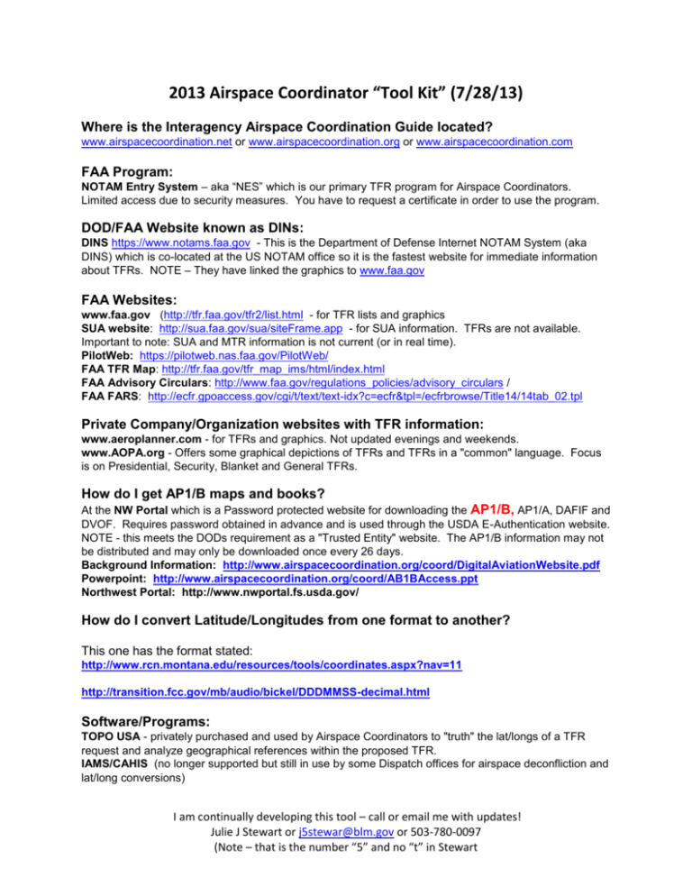
2013 Airspace Coordinator “Tool Kit” (7/28/13) Where is the Interagency Airspace Coordination Guide located? www.airspacecoordination.net or www.airspacecoordination.org or www.airspacecoordination.com FAA Program: NOTAM Entry System – aka “NES” which is our primary TFR program for Airspace Coordinators. Limited access due to security measures. You have to request a certificate in order to use the program. DOD/FAA Website known as DINs: DINS https://www.notams.faa.gov - This is the Department of Defense Internet NOTAM System (aka DINS) which is co-located at the US NOTAM office so it is the fastest website for immediate information about TFRs. NOTE – They have linked the graphics to www.faa.gov FAA Websites: www.faa.gov (http://tfr.faa.gov/tfr2/list.html - for TFR lists and graphics SUA website: http://sua.faa.gov/sua/siteFrame.app - for SUA information. TFRs are not available. Important to note: SUA and MTR information is not current (or in real time). PilotWeb: https://pilotweb.nas.faa.gov/PilotWeb/ FAA TFR Map: http://tfr.faa.gov/tfr_map_ims/html/index.html FAA Advisory Circulars: http://www.faa.gov/regulations_policies/advisory_circulars / FAA FARS: http://ecfr.gpoaccess.gov/cgi/t/text/text-idx?c=ecfr&tpl=/ecfrbrowse/Title14/14tab_02.tpl Private Company/Organization websites with TFR information: www.aeroplanner.com - for TFRs and graphics. Not updated evenings and weekends. www.AOPA.org - Offers some graphical depictions of TFRs and TFRs in a "common" language. Focus is on Presidential, Security, Blanket and General TFRs. How do I get AP1/B maps and books? At the NW Portal which is a Password protected website for downloading the AP1/B, AP1/A, DAFIF and DVOF. Requires password obtained in advance and is used through the USDA E-Authentication website. NOTE - this meets the DODs requirement as a "Trusted Entity" website. The AP1/B information may not be distributed and may only be downloaded once every 26 days. Background Information: http://www.airspacecoordination.org/coord/DigitalAviationWebsite.pdf Powerpoint: http://www.airspacecoordination.org/coord/AB1BAccess.ppt Northwest Portal: http://www.nwportal.fs.usda.gov/ How do I convert Latitude/Longitudes from one format to another? This one has the format stated: http://www.rcn.montana.edu/resources/tools/coordinates.aspx?nav=11 http://transition.fcc.gov/mb/audio/bickel/DDDMMSS-decimal.html Software/Programs: TOPO USA - privately purchased and used by Airspace Coordinators to "truth" the lat/longs of a TFR request and analyze geographical references within the proposed TFR. IAMS/CAHIS (no longer supported but still in use by some Dispatch offices for airspace deconfliction and lat/long conversions) I am continually developing this tool – call or email me with updates! Julie J Stewart or j5stewar@blm.gov or 503-780-0097 (Note – that is the number “5” and no “t” in Stewart Falcon View Could be used for airspace deconfliction as Falcon View is now "open source" but unfortunately, it requires the downloading of DAFIF files from a secured website (NW Portal) which is possible. I do not know anyone within USFS/BLM using Falcon View. Where do you get online Sectionals? From the FAA: This is the link for GIS folks: http://aeronav.faa.gov/index.asp?xml=aeronav/applications/VFR/chartlist_sect - Sectional Raster Aeronautical Chart series are designed to meet the needs of users who require geo-referenced raster images of FAA Visual Flight Rules (VFR) sectional charts. . If you wish to purchase sectionals: http://www.faa.gov/air_traffic/flight_info/aeronav/productcatalog/vfrcharts/Sectional/ Where can I View Sectionals on line? http://skyvector.com / or http://vfrmap.com / Where do I find out who owns an airport or information about a NAVAID? http://www.airnav.com / http://www.fly.faa.gov/flyfaa/usmap.jsp - airport status and delay information http://flightaware.com / Where can I find the latest in aviation news? www.aopa.org www.avweb.com www.aero-news.net www.airtanker.org www.faa.gov Where are the fires located? MODIS Active Fire Maps are at http://activefiremaps.fs.fed.us/ When is official Sunrise/Sunset? Sunrise/Sunset/Civil Twilight - http://aa.usno.navy.mil/data/docs/RS_OneDay.php What is UTC Time? Zulu? How do I convert it? Greenwich Mean Time (UTC) Conversion website: http://wwp.greenwichmeantime.com/gmt-converter/ Where do I find Airspace Agreements?: Agreements are located at www.airspacecoordination.net for the following: Nellis AFB Utah Test and Training Range Naval Air Station Fallon Whidbey Island NAS Okanogan and Wenatchee NF Aviation Operations Agreement Western Service Area Agreement for Air Traffic Control Towers from the FAA Where do I find Wildland fire information? Fire Incident Info (Information for current or historical wildland fires): http://www.inciweb.org/ I am continually developing this tool – call or email me with updates! Julie J Stewart or j5stewar@blm.gov or 503-780-0097 (Note – that is the number “5” and no “t” in Stewart Where do I get Shape Files? Individual TFR Shape Files are available from www.faa.gov – look at the upper corner of each TFR in the listing. All Shape Files: The following is from NASA: “I created a script to download and combine the tfr shape files into a single file. You can download it from our server at http://sggate.arc.nasa.gov:9518/airspace/shape/tfr.shp.zip Some notes: 1) The shape file will be updated at the same 15 minute frequency as the kml. 2) It includes only shape files of active TFRs, but not all TFRs have shape files. 3) The shape files were all converted to lat/long (EPSG 4326) projection. 3) This isn't an official FAA shape file, so use at your own risk!” KML/KMZ overlays on GOOGLE Earth Automated Flight Following (AFF). Go to www.aff.gov and use your password to open the link called “temporary files, AFF on Google Earth” or use the following links: AFF on Google Earth: https://www.aff.gov/cgi-bin/aff.dll/google/preferences.htm AFF Aircraft: https://www.aff.gov/cgi-bin/aff.dll/google/earth.htm How do I put TFR’s on Google Earth? (NEW July 2013) First of all you open AFF using the link titled “Log In for Temporary Google Earth KML File” which is located at the bottom of the Webtracker log in options (See above). This will bring up Google Earth with the Aircraft. (Note – if the aircraft are not visible, you need to call the AFF Help Desk at 866-224-7677 and ask for “Level 2” (Air Mobility Resources activated). After you see the aircraft, click on this TFR-link KML. Give it a minute to load and watch under the “sidebar” for TFR’s to appear. When it does, you will need to click the box on the left side of the TFR option. This will activate the TFRs and they will populate onto Google Earth. ..\..\tfr link\tfr-link.kml How do I put FAA ARTCC Boundaries on Google Earth? Click on one of these links: http://www.airspacecoordination.net/files/kml/artcc.kml or http://sggate.arc.nasa.gov:9518/GoogleEarth/FAA_ARTCC.kml How do I put Special Use Airspace (SUA) boundaries on Google Earth? Special Use Airspace with “activity codes” in 3D!! SUA means Warning Areas, Restricted Areas, Military Operations Areas, Prohibited Areas, Alert Areas (and most likely you will not see the Controlled Firing Areas since no one knows where they are located). You will NOT see the Military Training Routes (MTRs) since they are not SUA. I am continually developing this tool – call or email me with updates! Julie J Stewart or j5stewar@blm.gov or 503-780-0097 (Note – that is the number “5” and no “t” in Stewart (This is from a DOD test website where they are trying to color code the SUA’s that are hot – it is not always accurate): http://www.pilotsandweather.com/kml/currentSUA.kml Here is a second link for SUA: http://sggate.arc.nasa.gov:9518/GoogleEarth/sua.kmz How do I put fire perimeters on Google Earth? Go to Geomac.com and click on “View Perimeters”. Click on the drop down menu for “View KML” and select “Active Fire Perimeters KML.” Or you can try this link: http://www.geomac.gov/asp-bin/GeomacKML/getKML.aspx What can I add after I put in the fire perimeters? Try MODIS! (Don’t ask – it stands for “Moderate Resolution Imaging Spectroradiometer”) What this really means is that you can see all the heat images from the past six days. Curious what the fire is doing since the perimeter was mapped? This is the KML you want to use. It shows the fire’s progression. It can show you if the fire is outside the TFR. Use this link with the above Fire Perimiter link and add the TFRs and you have a complete picture! This has a “bundle” so you have to click on the MODIS box in the side toolbar to activate or deactivate. http://activefiremaps.fs.fed.us/data/kml/conus_latest_AFM_bundle.kml Here it is without the bundle - MODIS Fire Protection for the past 6 days: http://activefiremaps.fs.fed.us/data/kml/conus.kmz Where did the MODIS link come from? (if you liked MODIS – there is a lot more you can add from the following link (see below for the descriptions): http://activefiremaps.fs.fed.us/googleearth.php KML Descriptions: Fire Detections - MODIS, AVHRR and GOES fire detections by time/date of occurrence within the last 6, 12 and 24 hours, and the 6 days previous to the last 24-hour period. Fire Radiative Power - Measured fire radiative power (fire intensity) for MODIS fire detections within the last 6, 12 and 24 hours, and the 6 days previous to the last 24-hour period. Available for MODIS only. Large Incidents - Location and intelligence information of large wildfire incidents currently being tracked by the National Interagency Fire Center (NIFC) and Canadian provincial and territorial fire management agencies. Fire Weather - Current National Weather Service fire weather watch and red flag warnings by fire weather zone. Available for CONUS, Alaska and Hawaii only. Significant Fire Potential - 7-day significant fire forecast outlook compiled by the Predictive Services Program. Available for CONUS and Alaska only. AFM KML Bundle - A single KML containing all available KMLs provided by the Active Fire Mapping Program for each geographic area. I am continually developing this tool – call or email me with updates! Julie J Stewart or j5stewar@blm.gov or 503-780-0097 (Note – that is the number “5” and no “t” in Stewart Current Large Fires KMLs: http://activefiremaps.fs.fed.us/data/kml/conus_latest_lg_incidents.kml This takes a while and it opens in Africa but you can spin the globe back to America: http://sggate.arc.nasa.gov:9518/GoogleEarth/tfr.kml or https://sggate.arc.nasa.gov:9518/googleearth/airspace.kml National IR operations: http://nirops.fs.fed.us/cdekml/CDE.kml National Situation Report: http://activefiremaps.fs.fed.us/data/kml/conus_lg_incidents.kmz How can I get the fire perimeter of a single fire? Go to ftp://ftp.nifc.gov Scroll down to FTP Directory Click on Incident_Specific_Directory Select which GACC you are looking for Select which year you are looking for Click on GIS and then IR Data. Select date and look for KML File Open and save it as a document, How to get MTRs boundaries on Google Earth: Dennis G. has converted the MTR shape files from DAFIF to kml so you can bring them into Google Earth. They are on the website but we are not going to post a link to them on the web site since they will go out-of-date. You may download them at http://www.airspacecoordination.org/files/kml/ There are files for instrument routes (blue), slow routes (red) and visual routes (green). Each of these are broken into a file for the "center" lines and a file for the outer edges of the MTR. If you click on a segment it will tell you the route number and turn points at the end of that segment. To use for deconfliction, you add a place mark in Google Earth. This will put a yellow pushpin in the middle of your screen. It opens a requester that lets you enter a lat/long and will move the push pin to those coordinates. You can then turn on the centerlines and/or outlines to determine if a MTR is affected. This is much faster than using the AP/1B map. You should be able to have your call to the schedulers finished before the SEATs get there! How to put Sectionals on Google Earth: For use with Google Earth software. Derived from FAA NOTAMs; updated every 15 minutes. Instructions for overlaying sectional charts in Google Earth. These charts are not current and must not be used for real-world navigation ___________________________________________________________________________________ Additional Links from GETA (Geospatial Equipment and Technology Application) Group: Wildland Fire Assessment System: http://www.wfas.net/ & http://www.wfas.net/google-earth/wfas_data.kml I am continually developing this tool – call or email me with updates! Julie J Stewart or j5stewar@blm.gov or 503-780-0097 (Note – that is the number “5” and no “t” in Stewart Weather Specific National Weather Service Weather Bundle: http://www.atmos.uiuc.edu/iswecs/Google.Earth/Weather.Bundle/Weather.Bundle.kmz Point Weather Forecast: https://sites.google.com/site/netlinkhost/Home/usefulkmz/PointWeatherForecast.kmz Spot Weather Forecast: http://www.srh.noaa.gov/gis/kml/SpotForecast/spotLink.kml NOAA Weather Page: http://www.srh.noaa.gov/geospatial/kmlpage.htm ATMU: A kmz file with weather report history from IMETs Red Flag Warnings: http://activefiremaps.fs.fed.us/data/kml/conus_fire_wx.kmzandFWWATCH.kmz Current Smoke: http://www.osdpd.noaa.gov/ml/land/smoke.kml Google Earth Information Related Google Earth Blog (What people are doing with GE): http://www.gearthblog.com/ Google Earth Hacks (What people are doing with GE): http://www.gearthhacks.com/ Google Earth Community ( GE Blog): http://bbs.keyhole.com/ubb/ Google Earth Tutorials (GE Outreach): http://earth.google.com/outreach/index.html KML Tutorial (KML developers guide/ references): http://code.google.com/apis/kml/documentation/kml_tut.html Advanced Google Earth Links Additional Tools: DNR Garmin (GPS-->GE/ArcGIS tool): http://www.dnr.state.mn.us/mis/gis/tools/arcview/extensions/DNRGarmin/DNRGarmin.html Free Google Earth Overlays (Topo Maps etc): http://gpsvisualizer.com/ National Geographic Maps http://sites.google.com/site/netlinkhost/Home/usefulkmz/NationalGeographicTopo.kmz?attredirects=0&d=1 Map Window (Shape file to KML converter): Load http://mapwindow.com/ first then http://shape2earth.com/shp2e.aspx KML Screen Overlay Maker: http://freegeographytools.com/2007/the-kml-screen-overlay-makerutility Google Sketchup (Import/Export and Create 3-dimensional models for Google Earth): http://sketchup.google.com/ 3D Warehouse (Search for already created 3D models ready for import to Google Sketchup): http://sketchup.google.com/3dwarehouse/ Create shapes and lines on the web & transfer to Google Earth with scribblemaps: http://scribblemaps.com/ I am continually developing this tool – call or email me with updates! Julie J Stewart or j5stewar@blm.gov or 503-780-0097 (Note – that is the number “5” and no “t” in Stewart Other Tools: Public Land Survey System grid in GE: http://www.earthpoint.us/townships.aspx HTML Code Snippits: http://www.web-source.net/html_codes_chart.htm GE specific KML editor (Free / open source but may have problems with govt permissions): http://www.northgates.ca/kmlbuilder/ Earth Paint (create drawings and shapes in Google Earth): http://www.earthplotsoftware.com/download.htm Large list of other Google Earth Data Tools: http://freegeographytools.com/2007/kml-editors Useful KMZ's: http://sites.google.com/site/netlinkhost/Home/useful-kmz Aqua and Terra image archive in Google Earth Overlay: http://ge.ssec.wisc.edu/modis-today/index.php Additional KML Files: This is HUGE and will crash your computer so be careful: NASA Common Decision Environment: Instructions are located at: http://geo.arc.nasa.gov/sge/WRAP/CDE-2009_Instructions.pdf and the kml file is at http://sggate.arc.nasa.gov:9518/GoogleEarth/CDE.kml I am continually developing this tool – call or email me with updates! Julie J Stewart or j5stewar@blm.gov or 503-780-0097 (Note – that is the number “5” and no “t” in Stewart
