Name ____________ Class _______ Date Directions for map
advertisement
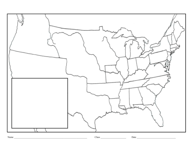
Name ____________________________________________________________ Class _____________________ Date ________________________________ Directions for map— use the map below and the maps on page 196 and on page 1103 as guides; follow the steps outlined below 1. Materials required: Ruler, black pen, colored pencils, No. 2 pencil 2. NEATLY print title above map: New National Borders & The Missouri Compromise over Slavery 3. NEATLY label the following with a black pen (spelling counts!): COLOR MAP ONLY AFTER LABELING US States – Use official abbreviations from map below Use page 1103; add dates for the new states admitted to the Union for Alabama, Mississippi, Louisiana, Missouri, Illinois, Indiana, and Maine, print dates inside ( ) LABEL: US Territories: Florida Territory, Arkansas Territory, Unorganized Territory, Michigan Territory LABEL: Oregon Country (Occupied by US & Britain); New Spain (Mexico after 1821); British Territory, Canada; Texas LABEL: Atlantic Ocean, Pacific Ocean, Gulf of Mexico LABEL: Lake Erie, Lake Ontario, Lake Huron, Lake Michigan, Lake Superior, St. Lawrence River, Ohio River, Mississippi River, Missouri River, Rio Grande LABEL: Missouri Compromise Line 36° 30′ N; 42° N /Adams-Onis Treaty Line (1819); 49° N / Anglo-American Convention of 1818 4. Label key as shown on right of map. Use a ruler to draw all lines inside key, the color as per directions. COLOR MAP ONLY AFTER LABELING Key States formed by the Missouri Compromise (black lines with a pen or gray lines with a No. 2 pencil) Free States and Territories closed to slavery (color/lightly shade: orange; include ME) Slave States and Territories open to slavery (color/lightly shade: yellow; include MO) Oregon Country (US & Britain) (color/lightly shade: brown) —— Missouri Compromise Line (1820) (Red colored pencil over) —— Convention of 1818 Line (purple colored pencil over) —— Adams-Onis Treaty Line (1819) (green colored pencil over)
