Permeability and Porosity labs CRF
advertisement
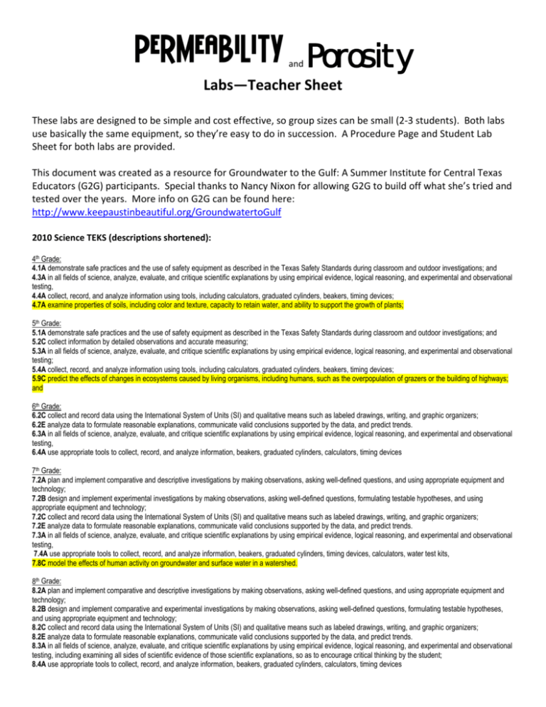
Permeability Porosity and Labs—Teacher Sheet These labs are designed to be simple and cost effective, so group sizes can be small (2‐3 students). Both labs use basically the same equipment, so they’re easy to do in succession. A Procedure Page and Student Lab Sheet for both labs are provided. This document was created as a resource for Groundwater to the Gulf: A Summer Institute for Central Texas Educators (G2G) participants. Special thanks to Nancy Nixon for allowing G2G to build off what she’s tried and tested over the years. More info on G2G can be found here: http://www.keepaustinbeautiful.org/GroundwatertoGulf 2010 Science TEKS (descriptions shortened): 4th Grade: 4.1A demonstrate safe practices and the use of safety equipment as described in the Texas Safety Standards during classroom and outdoor investigations; and 4.3A in all fields of science, analyze, evaluate, and critique scientific explanations by using empirical evidence, logical reasoning, and experimental and observational testing, 4.4A collect, record, and analyze information using tools, including calculators, graduated cylinders, beakers, timing devices; 4.7A examine properties of soils, including color and texture, capacity to retain water, and ability to support the growth of plants; 5th Grade: 5.1A demonstrate safe practices and the use of safety equipment as described in the Texas Safety Standards during classroom and outdoor investigations; and 5.2C collect information by detailed observations and accurate measuring; 5.3A in all fields of science, analyze, evaluate, and critique scientific explanations by using empirical evidence, logical reasoning, and experimental and observational testing; 5.4A collect, record, and analyze information using tools, including calculators, graduated cylinders, beakers, timing devices; 5.9C predict the effects of changes in ecosystems caused by living organisms, including humans, such as the overpopulation of grazers or the building of highways; and 6th Grade: 6.2C collect and record data using the International System of Units (SI) and qualitative means such as labeled drawings, writing, and graphic organizers; 6.2E analyze data to formulate reasonable explanations, communicate valid conclusions supported by the data, and predict trends. 6.3A in all fields of science, analyze, evaluate, and critique scientific explanations by using empirical evidence, logical reasoning, and experimental and observational testing, 6.4A use appropriate tools to collect, record, and analyze information, beakers, graduated cylinders, calculators, timing devices 7th Grade: 7.2A plan and implement comparative and descriptive investigations by making observations, asking well-defined questions, and using appropriate equipment and technology; 7.2B design and implement experimental investigations by making observations, asking well-defined questions, formulating testable hypotheses, and using appropriate equipment and technology; 7.2C collect and record data using the International System of Units (SI) and qualitative means such as labeled drawings, writing, and graphic organizers; 7.2E analyze data to formulate reasonable explanations, communicate valid conclusions supported by the data, and predict trends. 7.3A in all fields of science, analyze, evaluate, and critique scientific explanations by using empirical evidence, logical reasoning, and experimental and observational testing, 7.4A use appropriate tools to collect, record, and analyze information, beakers, graduated cylinders, timing devices, calculators, water test kits, 7.8C model the effects of human activity on groundwater and surface water in a watershed. 8th Grade: 8.2A plan and implement comparative and descriptive investigations by making observations, asking well-defined questions, and using appropriate equipment and technology; 8.2B design and implement comparative and experimental investigations by making observations, asking well-defined questions, formulating testable hypotheses, and using appropriate equipment and technology; 8.2C collect and record data using the International System of Units (SI) and qualitative means such as labeled drawings, writing, and graphic organizers; 8.2E analyze data to formulate reasonable explanations, communicate valid conclusions supported by the data, and predict trends. 8.3A in all fields of science, analyze, evaluate, and critique scientific explanations by using empirical evidence, logical reasoning, and experimental and observational testing, including examining all sides of scientific evidence of those scientific explanations, so as to encourage critical thinking by the student; 8.4A use appropriate tools to collect, record, and analyze information, beakers, graduated cylinders, calculators, timing devices *APPLICABILITY AND EXTENSIONS* Real World Applicability Aquifers are underground layers of rock capable of storing water. An aquifer is recharged when water filters through the surface down into the underground rock layer—changing from surface water into groundwater. The material present at the surface, called a substrate, can influence how easily water can pass into the groundwater system. In this lab we examine the porosity (how easily water can pass through a material and permeability (how much water a material can store) of substrates found around Austin. To better understand the way our local aquifer, the Barton Springs segment of the Edwards Aquifer, functions, this lab examines the characteristics of soil gathered from the Recharge Zone of the Edwards Aquifer, gravel gathered from a construction site in the Recharge Zone, sand collected near the Colorado River, clay sampled from the Confined Zone of the Edwards Aquifer. Extensions: 1. Have students draw a diagram showing the substrate layer for 1) the most efficient aquifer at capturing and storing water, 2) an aquifer that would resist contamination from the surface, 3) an aquifer that would receive no recharge. Have them explain how they chose the order for the substrate layers using what knowledge they gained about the porosity and permeability. 2. These materials can easily be changed out for your local soils. Students can be prompted to bring a sample of their backyard soil, or sediment from their nearest creek. Likewise, the class may take a walk to a local creek near the school to collect samples of substrates. Procedure Page: DO NOT REMOVE FROM LAB TABLE Permeability Background: How does water move through materials such as rocks? Permeability is the measure of how easily water can flow through a material (like rocks, soil, clay or sand). Over 60,000 people in Central Texas get their drinking water from the Barton Springs Segment of the Edwards Aquifer—the underground layer of water‐bearing rock in our area. The Edwards Aquifer is a karst aquifer that is made of limestone that is easily dissolved away through time. The Edwards Aquifer is known for its caves, fractures, and conduits. We pump water out of the Edwards Aquifer to use for drinking water and household, irrigation, and commercial uses. Also, the Edwards Aquifer naturally discharges through springs; Barton Springs being the most well known. Water in the aquifer is replenished during recharge events. Recharge adds water to the groundwater system when rainfall, melting snow, surface water, or water from a creek or lake soaks in through the soil and rocks. Objective: Students will measure the permeability of water through 4 different substrates (sand, rock, clay and soil) and compare the results. Materials: 4 plastic cups with holes punched in the bottom, coffee filters for each cup, 4 types of substrate (sand, rock, clay and soil), a stop watch, 2 beakers Procedure: 1. Place a coffee filter into each cup—one will be a sand cup, another will be a rock cup, another will be a clay cup, and the last will be a soil cup. 2. Put 100 mL of sand, rock, clay and soil in the appropriate cups. 3. Place the sand cup in an empty beaker, so you can measure the amount of water filtering through the substrate. 4. Be ready to start timing flow soon. Slowly pour water from a beaker or other water container into the plastic cup with one of the substrates; begin with sand, then rock, then soil. Keep the water level slightly above the top of the substrate in the plastic cup. 5. START TIMING THE FLOWÆwhen the water starts to come out of the plastic cup and into the beaker. 6. STOP TIMING THE FLOWÆwhen the water level reaches 100 mL. 7. Share your data with 3 other groups to fill in Trial 2 and Trial 3. 8. Average the times and complete the calculations using the average time (mean). 9. Answer the questions in complete sentences and complete the drawings on the back of the lab sheet. Permeability Lab Sheet Name:__________________________________________ Class Period: _____________ Date: __________ Question: Which substrate (sand, rock, clay or soil) has the highest permeability? Why? Prediction: ________________________________________________________________________________ Data Table: Trial 1 Trial 2 Trial 3 Average (mean) Sand Rock Clay Soil Calculations: Permeability = volume of water (mL) divided by time in minutes Sand: 100 mL / _______________ minutes = _______________ mL per minute Rock: 100 mL / _______________ minutes = _______________ mL per minute Clay: 100 mL / _______________ minutes = _______________ mL per minute Soil: 100 mL / _______________ minutes = _______________ mL per minute Conclusions: (look over your data and your background information) 1. Which substrate (sand, rock, clay or soil) had the greatest permeability (most permeable)? 2. Which substrate (sand, rock, clay or soil) had the least permeability (least permeable)? 3. How does the data support or not support your prediction? ______________________________ 4. How does porosity relate to permeability? ________________________________________________ 5. The Edwards Aquifer is a karst aquifer. Given what you have learned about porosity and permeability, why is pollution a major concern within the aquifer recharge zone? ________________________ Complete the drawings on the back of this page. Permeability Lab Sheet (continued) Do the two mazes below. Show the paths water can take between the particles by using a blue crayon or colored pen or pencil. A B 6. Which allows water to flow more freely? Explain. __________________________________________ Procedure Page: DO NOT REMOVE FROM LAB TABLE Porosity Background: How much water can a material hold? Porosity is the measure of the void spaces in a material such as soil, sand, or rock. Porosity is measured as a percentage of open space or pores in a material and can be calculated using a simple formula. An aquifer is an underground layer of rock that stores water. The amount of water that the aquifer can store is directly related to its porosity. The substrates (sand, rock, clay and soil) in this lab represent aquifers. Objective: Students will measure the porosity of 4 different substrates (sand, rock, clay and soil) and compare the results. Materials: 4 plastic cups, 75 mL of 4 types of substrate (sand, rock, clay and soil) for each cup, 1 beaker, and calculator. Procedure: 1. Write your prediction. 2. Fill each plastic cup with one of the following: 75 mL sand, 75 mL rock, 75 mL clay, 75 mL soil 3. Fill your beaker with 100 mL of water (you will refill your beaker for each substrate). 4. Record 100 mL on your lab sheet as your start volume. 5. Slowly pour the water from the beaker into one of the substrates in the plastic cups until there is a very thin layer of water covering the substrate. Begin with sand. 6. Read the remaining volume of water in the beaker and record the volume as the finish volume. 7. Repeat step 4 through 6 for each of the substrates. 8. Complete the calculations. 9. Answer the questions in complete sentences and complete the drawings on the back of the lab sheet. Porosity Lab Sheet Name:__________________________________________ Class Period: _____________ Date: __________ Question: Which substrate (sand, rock, clay or soil) has the highest porosity? Why? Prediction: ________________________________________________________________________________ Data/Calculations: Pore Space Volume = Start Volume – Finish Volume % Porosity = (Pore Space Volume / Substrate Volume) x 100 Start Volume Finish Volume Pore Space Volume Substrate Volume % Porosity Sand 100 mL 75 mL Rock 100 mL 75 mL Clay 100 mL 75 mL Soil 100 mL 75 mL Conclusions: 1. Which substrate has the highest porosity? ________________________________________________ 2. Which substrate has the lowest porosity? ________________________________________________ 3. How does the data support or not support your prediction? ______________________________ 4. Combining what you have learned about porosity with what you’ve learned about permeability, why would rock be a poor filter for water? ________________________________________________ 5. Which material would make a good filter? Explain why. ____________________________________ 6. Which material would make a good aquifer? Explain why. ____________________________________ Complete the drawings on the back of this page. Porosity Lab Sheet (Continued) Color in the pore spaces between the particles to see which has the highest porosity. A B 7. Which has the most open space? ______________________________________________ 8. Which would hold the most water? ______________________________________________________ 9. Why? ______________________________________________________________________________
