Chapter 8-1 Plate Tectonics 1. Brainstorm the type of evidence that
advertisement
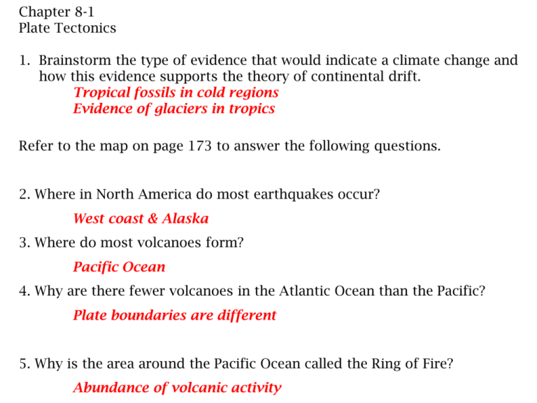
Chapter 8-1 Plate Tectonics 1. Brainstorm the type of evidence that would indicate a climate change and how this evidence supports the theory of continental drift. Tropical fossils in cold regions Evidence of glaciers in tropics Refer to the map on page 173 to answer the following questions. 2. Where in North America do most earthquakes occur? West coast & Alaska 3. Where do most volcanoes form? Pacific Ocean 4. Why are there fewer volcanoes in the Atlantic Ocean than the Pacific? Plate boundaries are different 5. Why is the area around the Pacific Ocean called the Ring of Fire? Abundance of volcanic activity Refer to the map on page 174 to answer the following questions. 6. What is the source of the rock? Magma 7. What happens along a mid-ocean ridge? Magma wells up and fills the crack Polarity is preserved in rock 8. What is the polarity of rocks closest to the ridge? Normal 9. Where are the youngest ocean-floor rocks? Closest to the ridge 10. How old are the oldest ocean floor rocks? 0ver 4 million years old 11. How old are the oldest ocean floor rocks? 0ver 4 million years old 12. In this example, which are generally longer, periods of normal polarity or periods of reversed polarity? Reversed polarity 13. Describe the pattern of the bands. Alternating bands of mirror images 14. Suppose you observed correlative bands that weren’t the same width. How could you explain your observation? Different rates of spreading on each side of ridge Chapter 8-2 Honors Science Divergent Boundary: a boundary between 2 lithospheric plates that are moving apart Draw and label a divergent boundary below. Show the direction in which the plates are traveling. How are the terms rift valley and fracture zones related? A rift valley forms between 2 lithospheric plates that are moving apart; fracture zones are breaks in the ridge that lie perpendicular to the ridge. Give an example of a divergent boundary: Mid-Atlantic Ridge and East Pacific Rise Convergent boundary: Subduction boundary: One oceanic plate plunges beneath another. Draw and label a subduction boundary below. Show the direction in which plates are moving. Collision boundary: Two plates come together; neither plate goes under. Draw and label a collision boundary. Show the direction in which plates are moving. The density of crust material – continental crust is too light to be subducted into the mantle. _____________________________________________ _________________________________________________________ Example of a Subduction boundary: Peru-Chile Trench, Andes Mountains, Mount Shasta, Krakatau Island Example of a Collision boundary: Ural Mountains (Russia), Appalachian Mountains, Himalayas Transform boundary: Boundary between plates sliding past one another Draw and label a transform boundary Mountains, Himalayas Transform boundary: Boundary between plates sliding past one another Draw and label a transform boundary How are fracture zones related to transform boundaries? Fracture zones along mid-ocean ridges are transformation boundaries. Give an example of a transform boundary: Fracture zones along the mid-ocean ridge, San Andreas Fault 8.3 Causes of Plate Movement. Current thinking indicates that all three process described in this section are involved in plate movement. 1. What characteristics of the asthenosphere permit plate movement? The asthenosphere is pliable because it’s much hotter than the lithosphere 2. Draw and describe the process of mantle convection. Heat energy from Earth’s core is transferred to the mantle, causing the mantle to rise toward the Earth's surface, which is cooler. As it rises, the heated mantle transfers its heat energy to the lithosphere becoming denser than the surrounding magma and sinking back down toward the core. Mantle Convection http://education.sdsc.edu/optiputer/flash/con vection.htm 3. What happens to lithospheric material that is close to the ridge? Heated lithospheric material expands and becomes elevated above the surrounding sea floor as it rises. Because it is less dense then surrounding rock it is more buoyant. As is cools it becomes denser and slides away from the ridge. 4. What are the characteristics of the lithosphere at the ridge that make it different from the rocks at the ocean trenches? Lower density, more buoyant 5. Describe the process of ridge push. Cooling rock exerts a force on the spreading lithospheric plates that could drive the plates is opposite directions. 6. Describe the rock that is found at a subduction boundary. Rock at subduction boundaries is the densest, oldest rock on the ocean floor. The edge of the plate is colder and heavier. 7. How does this contribute to slab pull? The cold dense rock sinks pulling the rest of the plate with it. http://maggiesscienceconnection.weebly.com/mantle-convection-plate-tectonicsearthquakes--volcanoes.html 8.4 Plate Movements and Continental Growth List the evidence that geologists use to reconstruct the past. Explain why it helped. • Ural Mountains in Russia and Appalachian Mountains show that they formed at a convergent plate boundary. Each formed when N America collided with Africa. • Magnetic records of igneous rocks show the latitude at which the rock formed. • Fossils from shallow seas are found on mountain tops. • Areas covered by glaciers are in tropical zones. Describe the formation and breakup of Pangea. • A large landmass, Gondwana existed between the S Pole and the equator. Other small landmasses existed around the world. • Gondwana moved north and the other landmasses converged to form Pangaea. • Over time, Pangaea began to break apart into Gondwana and Laurasia. Those continents then broke into smaller continents. How has plate tectonics changed the continents over time? Most continents are larger than what they were in the past. As plate movement occurs, contents add land. List the sources of growth material and how they become part of the continent. • Deep sea sediments attach to the edge of continents at subduction boundaries. • Volcanic material at subduction boundaries adds lava to the continents. • Sediments are deposited by rivers at the edges of continents. • Large blocks of lithospheric rock that were once attached to one continent are moved and attach to another continent. These are called terranes. Terranes can be identified by the following: 1. Terranes are bounded on all sides by faults 2. Rocks and fossils in the terrane do not match the rest of the landmass. 3. Magnetic record does not line up with the rest of the landmass.
