Puma Concolor Coryi--The Florida Panther
advertisement
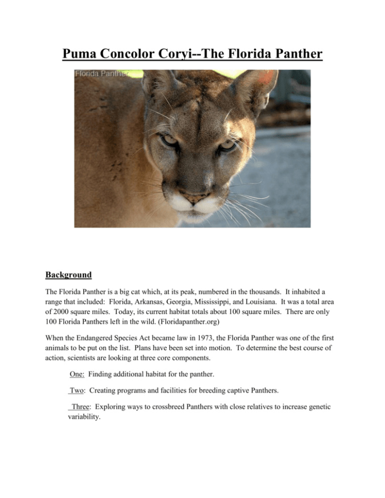
Puma Concolor Coryi--The Florida Panther Background The Florida Panther is a big cat which, at its peak, numbered in the thousands. It inhabited a range that included: Florida, Arkansas, Georgia, Mississippi, and Louisiana. It was a total area of 2000 square miles. Today, its current habitat totals about 100 square miles. There are only 100 Florida Panthers left in the wild. (Floridapanther.org) When the Endangered Species Act became law in 1973, the Florida Panther was one of the first animals to be put on the list. Plans have been set into motion. To determine the best course of action, scientists are looking at three core components. One: Finding additional habitat for the panther. Two: Creating programs and facilities for breeding captive Panthers. Three: Exploring ways to crossbreed Panthers with close relatives to increase genetic variability. This is important to research because big cats are at the top of the food chain, and thus are a great indicator of the status of the ecosystem. Essentially, if the Florida Panthers are struggling, then it poses a threat to the entire food chain. GIS would be an essential tool for Florida Panther analysis. It would be used to look at current range compared to range at the peak of the Panther's existence. It could also be used to look at prospective habitats for the big cat, keeping urban environments and highways in mind. Literature Review In a study, scientists found that 44% of Panther deaths were associated with road kill (algebralab.org). So basically half of their deaths are caused by humans. Florida Panthers need an adequate range (150-200 square miles). With such a small range today, it’s hard for the Panther to survive, let alone reproduce. The other major cause of death for the panthers is aggression. It’s estimated that aggression causes 22% of deaths (algebralab.org). This is because male Florida Panthers often run into each other due to the small space. These animals are very territorial and will often fight to the death if they even see a rival male. (Floridapanther.org). Scientists and Geographers have agreed that to insure continued survival of this big cat, alterations in the panther's space need to be considered. Hypothesis What actions should be taken to decrease death by motor vehicle? Where would be a more suitable habitat for the Florida Panther? Data I will need a map and area of the panther's current habitat. I will need a map of the panther’s habitat before urbanization hit the southeast. I will need some background information on the most ideal habitats for the Florida panther. I will need to know what the panther likes to eat and where it likes to sleep. I will need to format all of this into a raster and assess the best course of action. Methods Data collection would stem from a series of actions. I would perform habitat analysis with GIS. I would find a variety of areas that meet a series of criteria. Suitable habitats would have to have to be in pinelands, hardwood hammocks, and swamp forests (bigcatrescue.org). Acceptable habitat would have to be certain distance from major roads. It would also have to be a certain distance from railroads. Water should also be prevalent to a certain degree. I would attain the specific numerical criteria from specialists who are familiar with the most ideal living conditions for the Florida Panther. I would make rasters of these criteria with the raster calculator and the Euclidian Distance feature. I would then combine all of these criteria into a single raster that displays suitable habitat. From there, I would pick the biggest clumps of area and calculate that total area. Then I would calculate (area)/(200) to get the total number of cats that could live in this habitat (since the cats need around 200 square miles). Then I would consult refuge workers to present my data and they will take the best course of action based on my proposed areas. Anticipated Results I expect the results to show a limited space available to the Florida Panther. These cats need a big open space with specific habitat conditions. Due to the continuing urbanization of the United States as well as the increasing reliance on vehicles and highways, I anticipate a bleak future for the Florida Panther. We just don’t have the space for these guys anymore. Policy Applications My results could be used and interpreted by scientists and conservationists to assess a proper course of action for the Florida Panthers. They could look at my proposed habitats and determine where these cats can be put where they will thrive. They can also assess how many cats they should raise in captivity because too many would cause them to create an imbalance in the habitat. And too little may cause the cats to be unable to reproduce and they will die off. Budget Labor Three employees at $35 per hour over a 6 month span = $33,600 Consultation of scientists and experts = $1,000 Hardware Three Mac computers = $3,597 Wires, extra mouses, keyboards = $200 Software ArcMAP program = $4,200 Total cost = $42,597 Timeline Secondary data collection- 2 months Primary data collection- 3 months GIS analysis- 2 weeks Organization of data and results- 1 week Proposal- 1 week
