Building on International and Regional Cooperation in Meteorology
advertisement
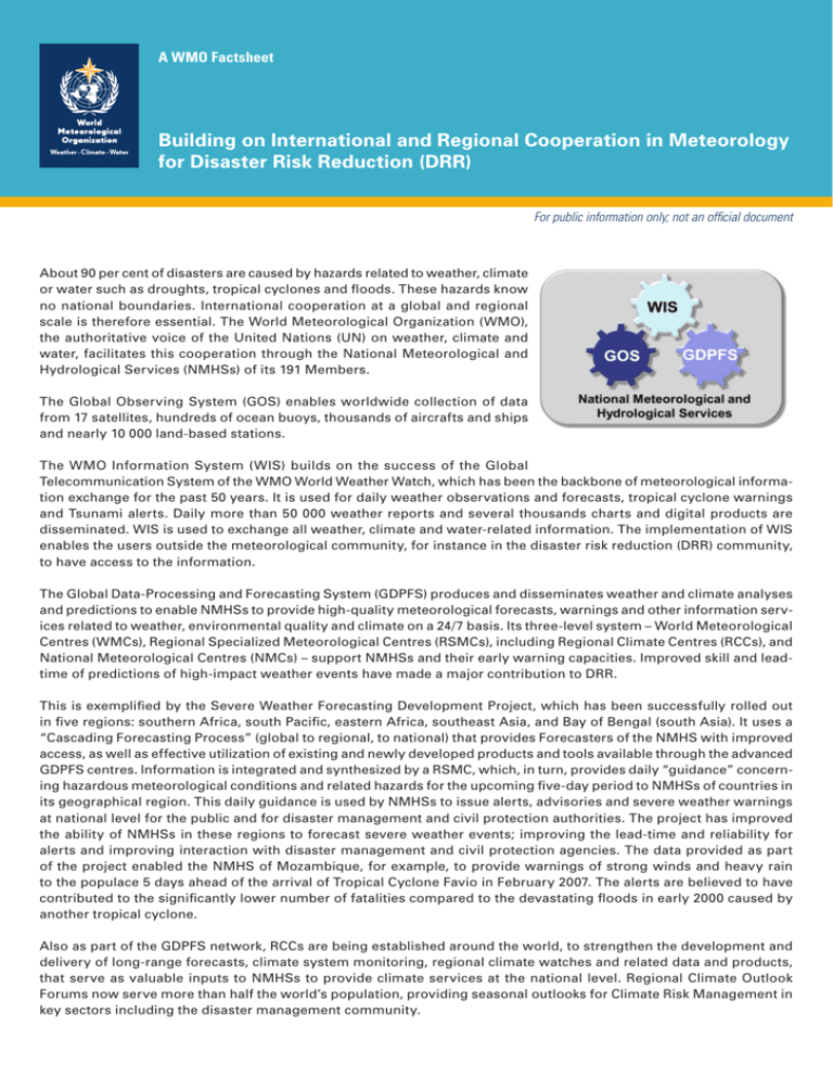
A WMO Factsheet Building on International and Regional Cooperation in Meteorology for Disaster Risk Reduction (DRR) For public information only; not an official document About 90 per cent of disasters are caused by hazards related to weather, climate or water such as droughts, tropical cyclones and floods. These hazards know no national boundaries. International cooperation at a global and regional scale is therefore essential. The World Meteorological Organization (WMO), the authoritative voice of the United Nations (UN) on weather, climate and water, facilitates this cooperation through the National Meteorological and Hydrological Services (NMHSs) of its 191 Members. The Global Observing System (GOS) enables worldwide collection of data from 17 satellites, hundreds of ocean buoys, thousands of aircrafts and ships and nearly 10 000 land-based stations. The WMO Information System (WIS) builds on the success of the Global Telecommunication System of the WMO World Weather Watch, which has been the backbone of meteorological information exchange for the past 50 years. It is used for daily weather observations and forecasts, tropical cyclone warnings and Tsunami alerts. Daily more than 50 000 weather reports and several thousands charts and digital products are disseminated. WIS is used to exchange all weather, climate and water-related information. The implementation of WIS A WMO for Factsheet enables the users outside the meteorological community, instance in the disaster risk reduction (DRR) community, to have access to the information. The Global Data-Processing and Forecasting System (GDPFS) produces and disseminates weather and climate analyses and predictions to enable NMHSs to provide high-quality meteorological forecasts, warnings and other information services related to weather, environmental quality and climate on a 24/7 basis. Its three-level system – World Meteorological Centres (WMCs), Regional Specialized Meteorological Centres (RSMCs), including Regional Climate Centres (RCCs), and National Meteorological Centres (NMCs) – support NMHSs and their early warning capacities. Improved skill and leadtime of predictions of high-impact weather events have made a major contribution to DRR. This is exemplified by the Severe Weather Forecasting Development Project, which has been successfully rolled out in five regions: southern Africa, south Pacific, eastern Africa, southeast Asia, and Bay of Bengal (south Asia). It uses a “Cascading Forecasting Process” (global to regional, to national) that provides Forecasters of the NMHS with improved access, as well as effective utilization of existing and newly developed products and tools available through the advanced GDPFS centres. Information is integrated and synthesized by a RSMC, which, in turn, provides daily “guidance” concerning hazardous meteorological conditions and related hazards for the upcoming five-day period to NMHSs of countries in its geographical region. This daily guidance is used by NMHSs to issue alerts, advisories and severe weather warnings at national level for the public and for disaster management and civil protection authorities. The project has improved the ability of NMHSs in these regions to forecast severe weather events; improving the lead-time and reliability for alerts and improving interaction with disaster management and civil protection agencies. The data provided as part of the project enabled the NMHS of Mozambique, for example, to provide warnings of strong winds and heavy rain to the populace 5 days ahead of the arrival of Tropical Cyclone Favio in February 2007. The alerts are believed to have contributed to the significantly lower number of fatalities compared to the devastating floods in early 2000 caused by another tropical cyclone. Also as part of the GDPFS network, RCCs are being established around the world, to strengthen the development and delivery of long-range forecasts, climate system monitoring, regional climate watches and related data and products, that serve as valuable inputs to NMHSs to provide climate services at the national level. Regional Climate Outlook Forums now serve more than half the world’s population, providing seasonal outlooks for Climate Risk Management in key sectors including the disaster management community. Designations used: The depiction and use of boundaries, geographic names and related data shown on maps and included in lists, tables, documents, and databases on this website are not warranted to be error free nor do they necessarily imply official endorsement or acceptance by WMO. Emergency Response Activities The WMO programme of Emergency Response Activities (ERA) was established in 1986 to assist NMHSs, governments and international organizations to respond effectively to environmental emergencies related to the large-scale dispersion of airborne hazardous substances. The WMO operational network of global, regional and national meteorological centres provides the infrastructure for specialized atmospheric dispersion-modelling that play a crucial role in assessing and predicting the spread of air- and water-borne hazardous substances. Nuclear Accidents The Chernobyl nuclear accident (April 1986) led to strengthened international cooperation in the event of a nuclear emergency through the Joint Radiation Emergency Management Plan of the International Organizations. The plan is coordinated by the International Atomic Energy Agency in cooperation with international organizations, including WMO, the World Health Organization and the Food and Agriculture Organization. WMO maintains a system of eight RSMCs which provide highly specialized computer-based simulations of the atmosphere that predict the long-range movement of airborne radioactivity to support environmental emergency response when needed. This response system was activated on 12 March 2011 in the aftermath of the earthquake in Japan. Volcanic ash The International Airways Volcano Watch (IAVW) monitors the threat from volcanic ash to aircraft and is coordinated by the International Civil Aviation Organization. Under the IAVW, international ground-based networks, in-flight air systems and global satellites pass information on volcanic eruptions and ash clouds to appropriate air traffic services and Meteorological Watch Offices, which provide the necessary warnings to aircrafts before or during flight. The warnings are based on advisory information supplied by nine Volcanic Ash Advisory Centres designated upon advice from WMO. For more information contact: Maryam Golnaraghi Chief of Disaster Risk Reduction Programme World Meteorological Organization Tel. 41.22.730.8006 Email: MGolnaraghi@WMO.int http://www.wmo.int
