Structural Geology in Petroleum Exploration Topics:
advertisement
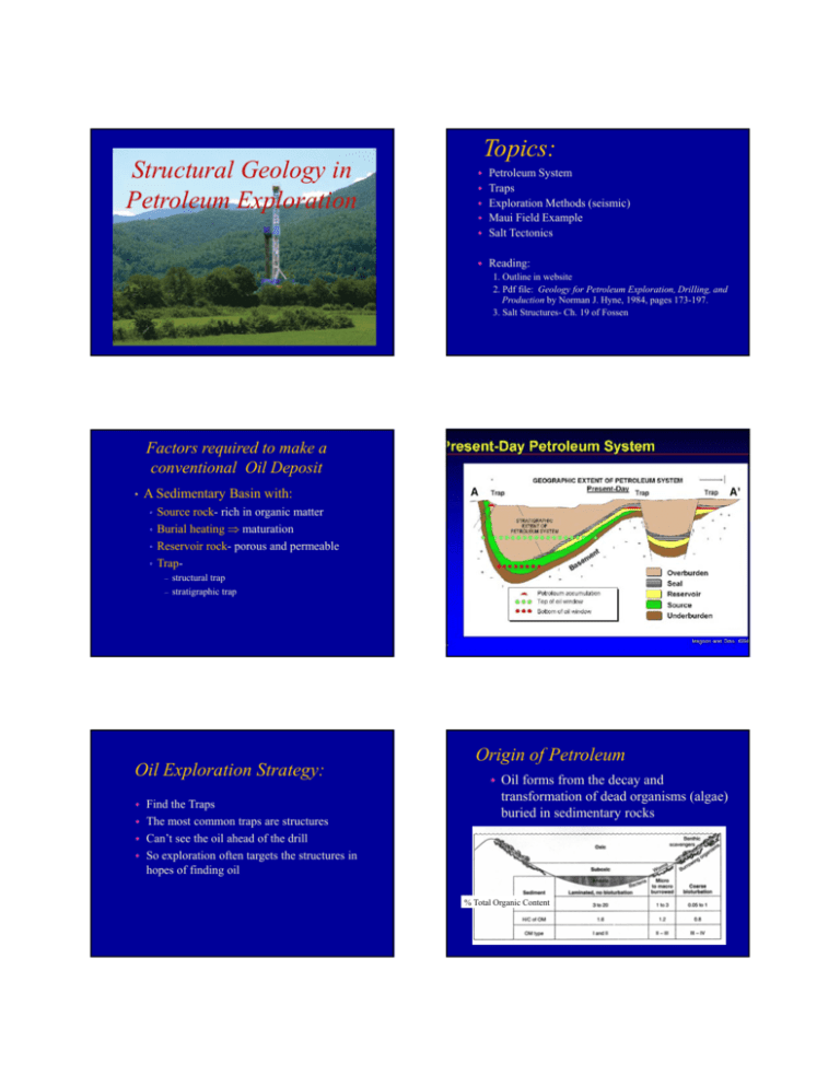
Structural Geology in Petroleum Exploration Topics: Petroleum System Traps Exploration Methods (seismic) Maui Field Example Salt Tectonics Reading: 1. Outline in website 2. Pdf file: Geology for Petroleum Exploration, Drilling, and Production by Norman J. Hyne, 1984, pages 173-197. 3. Salt Structures- Ch. 19 of Fossen Factors required to make a conventional Oil Deposit • A Sedimentary Basin with: • • • • Source rock- rich in organic matter Burial heating maturation Reservoir rock- porous and permeable Trap– – structural trap stratigraphic trap Oil Exploration Strategy: Petroleum system Find the Traps The most common traps are structures Can’t see the oil ahead of the drill So exploration often targets the structures in hopes of finding oil Origin of Petroleum Oil forms from the decay and transformation of dead organisms (algae) buried in sedimentary rocks % Total Organic Content Maturation of Organic Matter Source Rocks At about 60o C transformation of kerogen begins • Liquid hydrocarbons begin to form Above 140o C only gas is produced Black organic-rich marine shales Organic matter is preserved in low-oxygen water Restricted marine basins and zones were water rises from the deep Migration of oil Oil is less dense than water Oil will move up by buoyancy Oil needs a permeable bed to move It will stop when it reaches an impermeable bed Migration Oil Reservoirs Eastern Venezuela Western Canada Permeable reservoir bed Impermeable seal Sandstone Porosity Open space! Trap Types Stratigraphic Traps 3D Structural Closure, Cooper Basin (Australia) Triassic Cooper Basin Permian Structural Traps Triassic Inerval Toolachee Fm Roseneath Shale Epsilon Fm Murteree Fm Carboniferous Patchawarra Tirrawarra Fm Merrimelia Fm Merrimelia Fm: - Starts the Cooper Basin - Waxing and waning of glacial sediments Trap Terminology Fault Traps Gullfaks GullfaksField FieldNorth NorthSea Sea Gullfaks Field North Sea Fossen, 2010 Map of the Murre Field Compressional Traps Newfoundland Traps in Strike-Slip settings Positive Flower Structures How to see in the subsurface? Seismic Acquisition Drilling Structural Interpretation Seismic Reflection Imaging • Send sound into the rock, and collect the echoes Seismic shot gatherEvery vertical squiggle is from one geophone 3D Seismic Image Salt 3D Geological Model Offshore Platform Maui Field, New Zealand Major Hydrocarbon Provinces in North America Sedimentary Basins Gulf of Mexico Salt Gulf of Mexico Salt moves driven by buoyancy •Salt density= 2 g/ cm3 •Salt undergoes no compaction •Shale Density is initially 40% water •Initial Density = 1.8 g/ Halite, NaCl cm3 •Water expelled during compaction • Final Density = 2.4 g/ cm3 Gypsum, Ca(SO4).2H20 Sequential Stages of a Salt Diapir Salt Traps Seismic Image of a Salt Dome Rootless Salt- Gulf of Mexico AAPG Explorer, 2013 3D Seismic Interpretation of Salt Structures Relationship between Salt Movement and Sedimentation Syncline Initial syncline are now anticlines Sandbox Experiment Relationship between diapirism and normal faulting Extension Above Salt Diapir Salt Domes Pierce the Strata Fractures around Salt Domes Ant-Tracking displaying radial fracture pattern around salt domes 8km Salt Structures vs. Tectonic Structures •Caused by movement of salt, not by plate boundary stresses •Often linked to sedimentation •Often localized by tectonic structures •Both upwards movement of salt and salt withdrawal cause deformation
