Unit: Annotated Landform Regions Assignment 09
advertisement
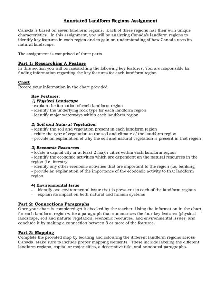
Annotated Landform Regions Assignment Canada is based on seven landform regions. Each of these regions has their own unique characteristics. In this assignment, you will be analyzing Canada’s landform regions to identify key features in each region and to gain an understanding of how Canada uses its natural landscape. The assignment is comprised of three parts. Part 1: Researching A Feature In this section you will be researching the following key features. You are responsible for finding information regarding the key features for each landform region. Chart Record your information in the chart provided. Key Features: 1) Physical Landscape - explain the formation of each landform region - identify the underlying rock type for each landform region - identify major waterways within each landform region 2) Soil and Natural Vegetation - identify the soil and vegetation present in each landform region - relate the type of vegetation to the soil and climate of the landform region - provide an explanation of why the soil and natural vegetation is present in that region 3) Economic Resources - locate a capital city or at least 2 major cities within each landform region - identify the economic activities which are dependent on the natural resources in the region (i.e. forestry) - identify any other economic activities that are important to the region (i.e. banking) - provide an explanation of the importance of the economic activity to that landform region 4) Environmental Issue - identify one environmental issue that is prevalent in each of the landform regions - explain its impact on both natural and human systems Part 2: Connections Paragraphs Once your chart is completed get it checked by the teacher. Using the information in the chart, for each landform region write a paragraph that summarizes the four key features (physical landscape, soil and natural vegetation, economic resources, and environmental issues) and conclude it by making a connection between 3 or more of the features. Part 3: Mapping Complete the provided map by locating and colouring the different landform regions across Canada. Make sure to include proper mapping elements. These include labeling the different landform regions, capital or major cities, a descriptive title, and annotated paragraphs. EVALUATION: /45 KNOWLEDGE (chart): /14 Knowledge of characteristics (physical, soil/vegetation, economic and environmental issue) for each landform region is clear and consise 0 2 4 6 8 10 12 14 THINKING/INQUIRY (annotations): /7 Environmental issue taking place in each region is included and the impact explained 0 1 2 3 4 5 6 7 COMMUNICATION (map and annotations): /17 Paragraphs organize information in a logical sequence and are concise 0 1 2 3 4 5 6 7 Map includes title, accurate location of each landform region, and accurate location of capital or major cities 0 1 2 3 4 5 6 7 Grammar and spelling are correct 0 1 2 3 APPLICATION (annotations): /7 A clear connection is made between 3 or more of the landform region’s features. TOTAL: /45 Annotated Landform Regions Assignment – Resources Making Connections: Canada’s Geography 2nd Edition Chapter 12, pages 130-144 Pearson School Atlas Water resources– pp. 18-19 Mineral resources – pp. 20-21 Power (electricity) – pp. 22-23 Agriculture – pp. 24-25 Forestry – pp. 28-29 Manufacturing – pp. 30-31 Readings provided by teacher Research at home 0 1 2 3 4 5 6 7
