NATIONAL WEATHER SUMMARY
advertisement
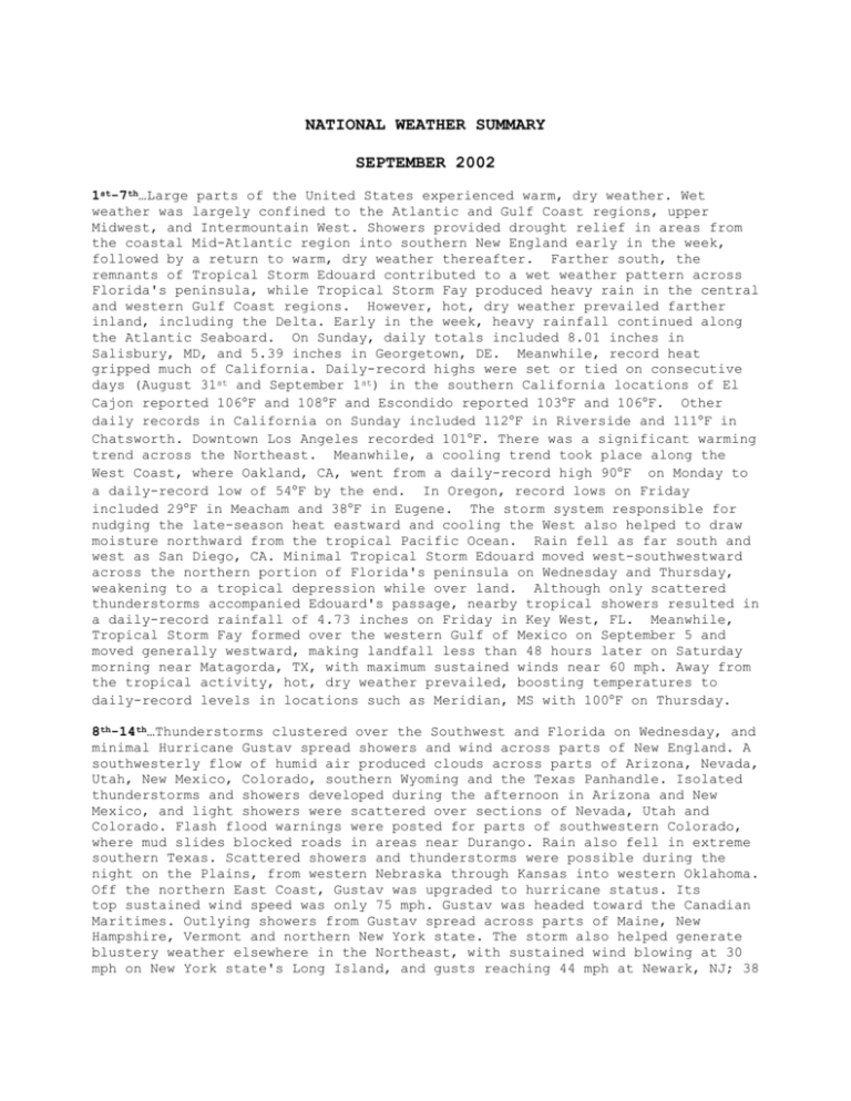
NATIONAL WEATHER SUMMARY SEPTEMBER 2002 1st-7th…Large parts of the United States experienced warm, dry weather. Wet weather was largely confined to the Atlantic and Gulf Coast regions, upper Midwest, and Intermountain West. Showers provided drought relief in areas from the coastal Mid-Atlantic region into southern New England early in the week, followed by a return to warm, dry weather thereafter. Farther south, the remnants of Tropical Storm Edouard contributed to a wet weather pattern across Florida's peninsula, while Tropical Storm Fay produced heavy rain in the central and western Gulf Coast regions. However, hot, dry weather prevailed farther inland, including the Delta. Early in the week, heavy rainfall continued along the Atlantic Seaboard. On Sunday, daily totals included 8.01 inches in Salisbury, MD, and 5.39 inches in Georgetown, DE. Meanwhile, record heat gripped much of California. Daily-record highs were set or tied on consecutive days (August 31st and September 1st) in the southern California locations of El Cajon reported 106F and 108F and Escondido reported 103F and 106F. Other daily records in California on Sunday included 112F in Riverside and 111F in Chatsworth. Downtown Los Angeles recorded 101F. There was a significant warming trend across the Northeast. Meanwhile, a cooling trend took place along the West Coast, where Oakland, CA, went from a daily-record high 90F on Monday to a daily-record low of 54F by the end. In Oregon, record lows on Friday included 29F in Meacham and 38F in Eugene. The storm system responsible for nudging the late-season heat eastward and cooling the West also helped to draw moisture northward from the tropical Pacific Ocean. Rain fell as far south and west as San Diego, CA. Minimal Tropical Storm Edouard moved west-southwestward across the northern portion of Florida's peninsula on Wednesday and Thursday, weakening to a tropical depression while over land. Although only scattered thunderstorms accompanied Edouard's passage, nearby tropical showers resulted in a daily-record rainfall of 4.73 inches on Friday in Key West, FL. Meanwhile, Tropical Storm Fay formed over the western Gulf of Mexico on September 5 and moved generally westward, making landfall less than 48 hours later on Saturday morning near Matagorda, TX, with maximum sustained winds near 60 mph. Away from the tropical activity, hot, dry weather prevailed, boosting temperatures to daily-record levels in locations such as Meridian, MS with 100F on Thursday. 8th-14th…Thunderstorms clustered over the Southwest and Florida on Wednesday, and minimal Hurricane Gustav spread showers and wind across parts of New England. A southwesterly flow of humid air produced clouds across parts of Arizona, Nevada, Utah, New Mexico, Colorado, southern Wyoming and the Texas Panhandle. Isolated thunderstorms and showers developed during the afternoon in Arizona and New Mexico, and light showers were scattered over sections of Nevada, Utah and Colorado. Flash flood warnings were posted for parts of southwestern Colorado, where mud slides blocked roads in areas near Durango. Rain also fell in extreme southern Texas. Scattered showers and thunderstorms were possible during the night on the Plains, from western Nebraska through Kansas into western Oklahoma. Off the northern East Coast, Gustav was upgraded to hurricane status. Its top sustained wind speed was only 75 mph. Gustav was headed toward the Canadian Maritimes. Outlying showers from Gustav spread across parts of Maine, New Hampshire, Vermont and northern New York state. The storm also helped generate blustery weather elsewhere in the Northeast, with sustained wind blowing at 30 mph on New York state's Long Island, and gusts reaching 44 mph at Newark, NJ; 38 mph at Johnstown, PA, and 25 mph at Boston. On Tuesday, Gustav poured up to 6 inches of rain on North Carolina's Outer Banks as it skirted the East Coast. Elsewhere, rain fell over large parts of the Florida Peninsula, with more than 1.5 inches reported at Punta Gorda. Rain fell over Florida and parts of the Southeast Friday as a tropical storm moved north, while clouds covered much of the rest of the country. Tropical Storm Hanna, packing winds of up to 45 mph, was about 105 miles south of the mouth of the Mississippi River. Tropical storm warnings were in effect from Apalachicola, Fl, through Grand Isle, LA. Rains and thunderstorms increased over northern Florida, central and southern Georgia, southern South Carolina and southern Alabama. Heavy rains fell near Panama City and Crestview, Fl. Clouds hung over northern Alabama and into the southern Appalachian mountains in North Carolina, and, in the central United States, from the northwestern Great Lakes region to Kansas. Rain fell in parts of Minnesota and Kansas, with heavier rains pushing over southeastern Nebraska. Scattered showers fell from New York to Maine, with cloudy weather and wind gusts of up to 25 mph elsewhere in the Northeast. Most of the West had fair, dry weather. 15th-21st…Showers and thunderstorms spread from the Gulf Coast through the Tennessee and Ohio valleys Tuesday, and showers were scattered across the Northwest. Afternoon thunderstorms were scattered along the Gulf Coast from southern Texas into Louisiana. Storms also moved inland across parts of eastern Texas and Louisiana, and radar showed isolated storms in parts of Arkansas, Mississippi and Alabama. A belt of widespread showers and occasional storms stretched from Missouri across western Kentucky and Tennessee into northern Georgia. During the afternoon, that area of wet weather expanded across the Ohio Valley into southern sections of Illinois and Indiana, and eastward into parts of the Carolinas. Isolated showers also formed in a few places in central Florida and the Florida Keys. In the Northwest, light to moderate showers moved eastward across Oregon and Washington and extended through northern Nevada and Idaho into northern Utah and western sections of Montana and Wyoming. Rain and thunderstorms were scattered from the Rockies to the East Coast on Wednesday, with large hail in the Dakotas and heavy rain in the Carolinas. Areas of rain formed along the Rockies from Montana through Wyoming into Colorado and New Mexico, with showers also extending into eastern sections of Utah and Arizona. Thunderstorms developed during the afternoon across east-central Arizona and west-central New Mexico, and in parts of Utah. Some rain moved onto the western Plains in Kansas and the Texas Panhandle. In the northern Plains showers and thunderstorms moved across North Dakota, northwestern Minnesota and parts of western South Dakota. Hebron, ND, reported hail an inch in diameter. To the south, scattered thunderstorms developed during the afternoon across parts of eastern Texas, Louisiana, Arkansas, Mississippi, Tennessee, Alabama and Georgia, and extended into West Virginia and North and South Carolina. Showers and a few storms also were scattered across central Illinois, Indiana, Michigan, Ohio and western Pennsylvania. A long line of clouds and rain stretched along the Appalachian Mountains on Saturday, and dense fog hovered over parts of Southern California. More than an inch of rain fell in Georgia and Tennessee with lighter rain to the north. The eastern Great Lakes and Northeast were cloudy with scattered rain. Coastal regions were drier with partly cloudy skies. Scattered light rain fell in the northern Rockies and Plains. The rain mixed with snow in South Dakota. Patchy dense fog in the Los Angeles area reduced visibility to a quarter of a mile. The California interior, the Southwest and Texas had fair skies and dry conditions. 22nd-30th…Cloudy skies and scattered showers prevailed Monday from New England to the Plains. Light to moderate showers were reported in portions of Maine, Massachusetts, Rhode Island and the Carolinas. Skies were cloudy in the Gulf Coast states, including Georgia, Alabama, Mississippi and Louisiana. Skies were also cloudy in southern Florida, with scattered showers throughout the state. Sunny conditions prevailed across the Ohio and Tennessee valleys, Great Lakes and Midwest regions. Rain fell in northeastern Minnesota and Wisconsin, with heavier downpours in the Duluth, MN, area. To the south, Texas was dampened by showers and some thunderstorms from South Padre Island to Brownsville. In the West, skies were cloudy to clear across the Pacific Northwest, Great Basin, California, Desert Southwest and Rockies. The only significant cloud cover anywhere in the West was along the coasts of California and Washington. Tropical Storm Isidore continued Wednesday to move north in the Gulf of Mexico, bringing heavy rain and high wind to parts of Louisiana, Alabama, Mississippi, Georgia and Florida. Isidore moved north at 13 mph and was expected to make landfall along the Louisiana coast by early Thursday. The storm's outer bands drenched southeastern Louisiana, almost all of Mississippi, Alabama, northern Georgia and northwestern Florida. Clouds from Isidore spread into the Ohio Valley and mid-Atlantic region. High pressure brought partly cloudy skies and dry conditions to much of New England. In the West, clouds spread over the Dakotas, Minnesota and Iowa into the northwestern Great Lakes. Rain and storms moved east into South Dakota and Nebraska and across Minnesota and Iowa into Wisconsin. Clouds trailed into the northeastern and central Rockies. Scattered showers spread over Wyoming, Utah and Colorado. The remainder of the western and central United States was dry under partly cloudy to clear skies. Tropical Storm Isidore spiraled ashore Thursday with near hurricane-force wind, bringing tornadoes and heavy rain and knocking out power to homes and businesses in the Gulf Coast and Southeast. Winds picked up speed to as much as 45 mph along the coast, with gusts around 50 mph. Heavy rains and strong thunderstorms were spreading from southeastern Louisiana to the lower Mississippi Valley to Tennessee and Kentucky. Downpours caused flooding in southeastern Louisiana and Mississippi. Several tornadoes have been reported in Louisiana, Mississippi, Alabama and Florida. Elsewhere in the nation, a cold front stretching from the western Great Lakes to the Panhandle of Texas brought light to moderate scattered showers. A disturbance to the northwest over Montana also brought scattered light rains to the Rockies and Great Basin. The remnants of Tropical Storm Isidore drenched parts of the Great Lakes and Northeast on Friday as clouds spread over much of the West. Showers and thundershowers moved from the Ohio Valley to the Northeast and New England. Lighter showers hit parts of Pennsylvania, Maryland, Virginia, West Virginia, and northern Kentucky, while areas from the western Great Lakes through the western Ohio Valley gradually cleared. Cloudy conditions reigned over the northern Rocky Mountain states, central California and the Dakotas. But the West was mostly dry, except for spotty showers in central Montana, central North Dakota, southern Idaho and the Four Corners region. Cloudy skies and scattered showers persisted Monday along portions of the East Coast and the Midwest.Showers and isolated storms were reported in coastal areas of the Carolinas, the Florida Peninsula and Alabama. Skies were cloudy across the southwestern Great Lakes, including Wisconsin and northern Michigan, and spread east into northern New York through Maine. Scattered showers and tunderstorms dampened parts of Minnesota. To the west, spotty rain fell in the western Dakotas to southern Nevada. Eastern Montana and parts of Wyoming also received rain. Wind gusts reached 40 mph in Casper, WY, and 38 mph in Fort Dodge, Iowa. In the Pacific Northwest, heavy rain fell in Portland, OR. Dry, fair conditions dominated in the southern Rockies, the desert Southwest, much of California and the southern Plains, with a few showers in southern New Mexico.
