LAB 1: MINERAL IDENTIFICATION
advertisement
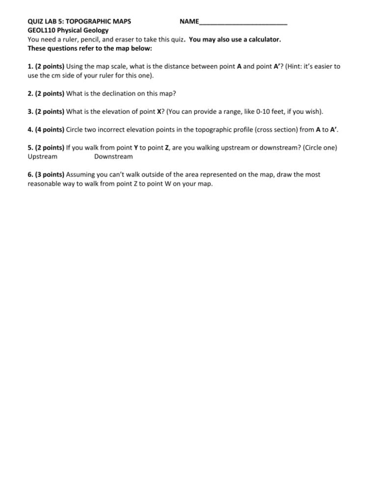
QUIZ LAB 5: TOPOGRAPHIC MAPS NAME________________________ GEOL110 Physical Geology You need a ruler, pencil, and eraser to take this quiz. You may also use a calculator. These questions refer to the map below: 1. (2 points) Using the map scale, what is the distance between point A and point A’? (Hint: it’s easier to use the cm side of your ruler for this one). 2. (2 points) What is the declination on this map? 3. (2 points) What is the elevation of point X? (You can provide a range, like 0-10 feet, if you wish). 4. (4 points) Circle two incorrect elevation points in the topographic profile (cross section) from A to A’. 5. (2 points) If you walk from point Y to point Z, are you walking upstream or downstream? (Circle one) Upstream Downstream 6. (3 points) Assuming you can’t walk outside of the area represented on the map, draw the most reasonable way to walk from point Z to point W on your map.


