Pangaea puzzle
advertisement
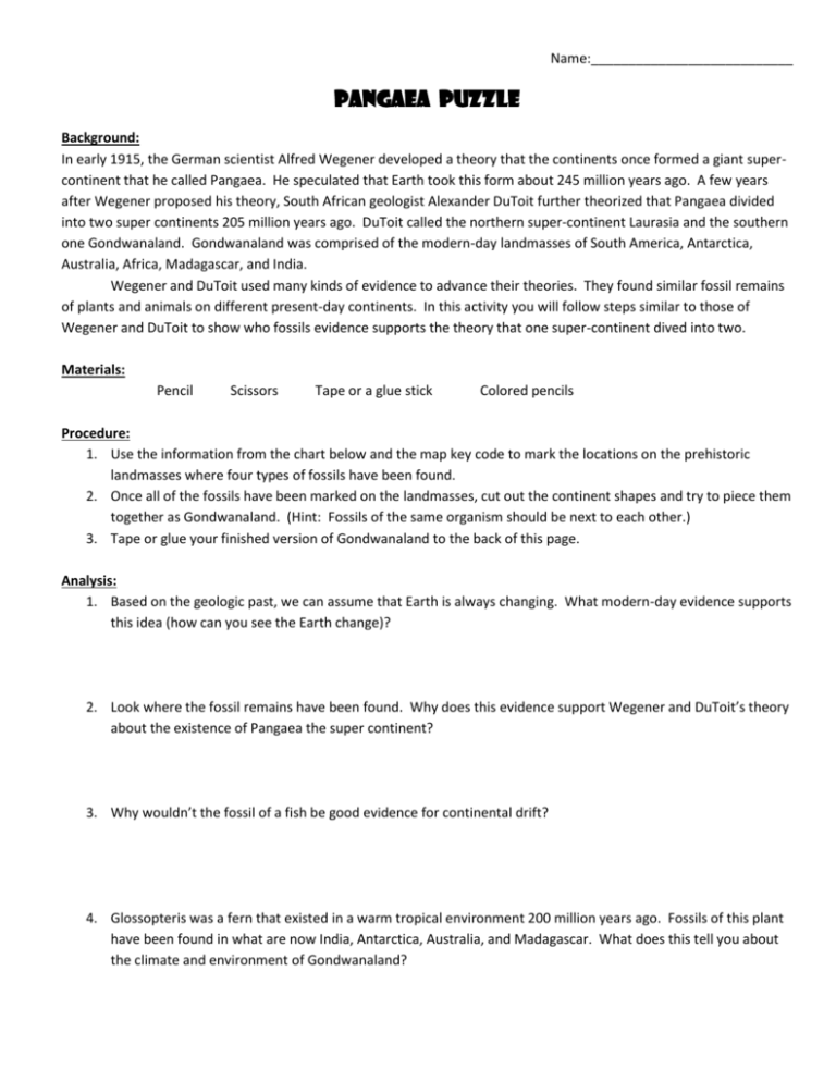
Name:___________________________ Pangaea puzzle Background: In early 1915, the German scientist Alfred Wegener developed a theory that the continents once formed a giant supercontinent that he called Pangaea. He speculated that Earth took this form about 245 million years ago. A few years after Wegener proposed his theory, South African geologist Alexander DuToit further theorized that Pangaea divided into two super continents 205 million years ago. DuToit called the northern super-continent Laurasia and the southern one Gondwanaland. Gondwanaland was comprised of the modern-day landmasses of South America, Antarctica, Australia, Africa, Madagascar, and India. Wegener and DuToit used many kinds of evidence to advance their theories. They found similar fossil remains of plants and animals on different present-day continents. In this activity you will follow steps similar to those of Wegener and DuToit to show who fossils evidence supports the theory that one super-continent dived into two. Materials: Pencil Scissors Tape or a glue stick Colored pencils Procedure: 1. Use the information from the chart below and the map key code to mark the locations on the prehistoric landmasses where four types of fossils have been found. 2. Once all of the fossils have been marked on the landmasses, cut out the continent shapes and try to piece them together as Gondwanaland. (Hint: Fossils of the same organism should be next to each other.) 3. Tape or glue your finished version of Gondwanaland to the back of this page. Analysis: 1. Based on the geologic past, we can assume that Earth is always changing. What modern-day evidence supports this idea (how can you see the Earth change)? 2. Look where the fossil remains have been found. Why does this evidence support Wegener and DuToit’s theory about the existence of Pangaea the super continent? 3. Why wouldn’t the fossil of a fish be good evidence for continental drift? 4. Glossopteris was a fern that existed in a warm tropical environment 200 million years ago. Fossils of this plant have been found in what are now India, Antarctica, Australia, and Madagascar. What does this tell you about the climate and environment of Gondwanaland? Fossil Name Description Glossopteris A fern Cynognathus A land reptile Lystrosaurus A land reptile Mesosaurus A freshwater reptile Tape or glue your colored map here: Present Day Location - South of Perth, Australia - Southern tip of India (near Madurai) -Wilhelm II Coast, Antarctica -Southern tip of Madagascar -Oates Coast, Antarctica -Southern Australia (near Melbourne) -Southern Argentine (near Bahia Blanca) -Palmer Land, Antarctica -Southwestern South Africa (near Cape Town) -Western Australia (north of Perth) -Madagascar (north of Antananarivo) -Cenral India (between Bangalore and Hyderabad) -Eastern Tanzania (south of Dar Es Salaam) -Eastern Brazil (near Salvador) -Cameroon, West Africa Map Key Code Glossopteris Green Cynognathus Blue Lystrosaurus Red Mesosaurus Orange Prehistoric Landmasses
