The Coastal Plain Province
advertisement
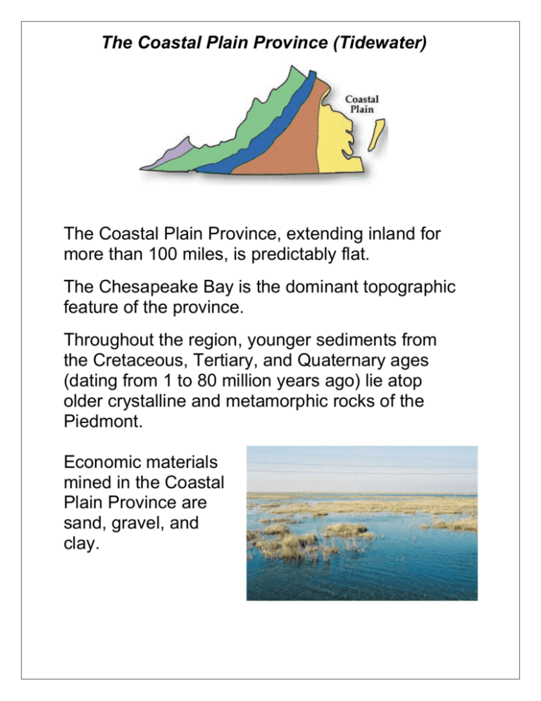
The Coastal Plain Province (Tidewater) The Coastal Plain Province, extending inland for more than 100 miles, is predictably flat. The Chesapeake Bay is the dominant topographic feature of the province. Throughout the region, younger sediments from the Cretaceous, Tertiary, and Quaternary ages (dating from 1 to 80 million years ago) lie atop older crystalline and metamorphic rocks of the Piedmont. Economic materials mined in the Coastal Plain Province are sand, gravel, and clay. The Piedmont Province Largest of Virginia's physiographic provinces, the Piedmont extends from Virginia's "fall line" west to the Blue Ridge Mountains. Elevations range from around 100 feet in the east to more than 1,000 feet in the foothills of the Blue Ridge. Metamorphosed rocks characterize this region: schists, gneisses, slates, phyllites, marble, and quartzites. In many areas, they have been altered by intruding granite and other igneous rocks. Slate is mined in the Piedmont. Parts of Loudoun County are in the Piedmont! The Blue Ridge Province The rocks that form the Blue Ridge Province or mountains include a basement complex of Precambrian (800-1,200 million years old) granite and granulites along with late Precambrian metamorphosed sedimentary rocks. This old terrain of Precambrian-age metamorphosed sedimentary and volcanic rocks contains the "oldest" rocks in Virginia-including Old Rag Granite, dating back approximately 1.2 billion years. The two highest mountains in the state, Mt. Rogers (elevation 5,720 ft.) and White Top (elevation 5, 520 ft.) are located in the southern reaches. Parts of Loudoun County are in the Blue Ridge. The Valley and Ridge Province The Valley and Ridge Province exhibits great variation, both topographically and geologically. Thick sedimentary layers accumulated during the Paleozoic Era (and date back 570 to 320 million years). Strata consisting of shale, dolostone, and limestone dominate on the east and grade westward into strata comprised generally of sandstone, siltstone, and shale. Resources currently extracted from this province are limestone and shale. Karst topography (caves and caverns) The Appalachian Plateau Province The Appalachian Plateau borders the Valley and Ridge along much of the western margin of the state. Toward the end of the Paleozoic, sedimentation increased and brackish to non-marine deposits spread westward across the older marine formations, similar to the present Coastal Plain. The southwest Virginia coalfield is totally contained within this province. In addition to coal, this province contains valuable resources of methane, natural gas, and some oil, along with some crushed stone. Fossil Fuels! The Fall Line The Fall Line is the natural border between the Coastal Plain and Piedmont regions, where waterfalls prevent further travel on the river. Long ago, people traveled in boats to the Fall Line when they were moving to western parts of Virginia. People were always forced to go around the waterfalls and rapids at the Fall Line by land. Many important Virginia cities have grown along the Fall Line. For example, Alexandria, Fredericksburg, Richmond, and Petersburg served as transportation centers. Other cities took advantage of the waterfalls and rapids and used the water to produce power.
