2008 EXAM 4 With Answers
advertisement
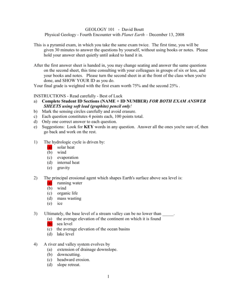
GEOLOGY 101 - David Boutt Physical Geology - Fourth Encounter with Planet Earth – December 13, 2008 This is a pyramid exam, in which you take the same exam twice. The first time, you will be given 30 minutes to answer the questions by yourself, without using books or notes. Please hold your answer sheet quietly until asked to hand it in. After the first answer sheet is handed in, you may change seating and answer the same questions on the second sheet, this time consulting with your colleagues in groups of six or less, and your books and notes. Please turn the second sheet in at the front of the class when you're done, and SHOW YOUR ID as you do. Your final grade is weighted with the first exam worth 75% and the second 25% . INSTRUCTIONS - Read carefully - Best of Luck a) Complete Student ID Sections (NAME + ID NUMBER) FOR BOTH EXAM ANSWER SHEETS using soft lead (graphite) pencil only! b) Mark the sensing circles carefully and avoid erasure. c) Each question constitutes 4 points each, 100 points total. d) Only one correct answer to each question. e) Suggestions: Look for KEY words in any question. Answer all the ones you're sure of, then go back and work on the rest. 1) The hydrologic cycle is driven by: (a) solar heat (b) wind (c) evaporation (d) internal heat (e) gravity 2) The principal erosional agent which shapes Earth's surface above sea level is: (a) running water (b) wind (c) organic life (d) mass wasting (e) ice 3) Ultimately, the base level of a stream valley can be no lower than _____. (a) the average elevation of the continent on which it is found (b) sea level (c) the average elevation of the ocean basins (d) lake level 4) A river and valley system evolves by (a) extension of drainage downslope. (b) downcutting. (c) headward erosion. (d) slope retreat. 1 5) (e) all of these answers. The high ground separating stream systems is a(n) (a) ravine. (b) alluvial fan. (c) drainage divide. (d) terrace. (e) escarpment. 6) In a region of smooth, gently dipping rock, the drainage pattern will typically be (a) annular. (b) dendritic. (c) trellis. (d) rectangular. (e) deranged. 7) The main tool used by a stream to erode its channel is its (a) sediment load. (b) bank deposit. (c) rapids. (d) base level. (e) ions in solution. 8) If a 100-year flood occurs on the Mississippi River in 2003, what is the probability that a flood of at the same magnitude will occur in 2004? (a) zero (b) 1% (c) 2% (d) 50% (e) 100% 9) Longshore (beach) drift moves water and sediment (a) toward the prevailing wind. (b) in a straight line down the beach. (c) in similar paths but in opposite directions. (d) up and over the beach. (e) along the beach in a zig-zag path. 10) Which of the following statements is NOT a true description of ocean waves? (a) Waves originate by the frictional action of wind on water. (b) Energy is imparted to waves by winds. (c) Water particles in waves move along at the same velocity as the wave. (d) Wave height (amplitude) is the vertical distance between crest and trough. (e) Wave refraction causes irregular distribution of energy along the coast. 2 11) The shallowest portion of the ocean is found along the margins of continents in regions termed ______. (a) abyssal plains (b) continental rises (c) continental shelves (d) continental slopes (e) oceanic ridges 12) The deepest segments of the ocean floor are found _____. (a) along mid-ocean ridges (b) in the geographic centers of abyssal plains (c) in trenches associated with passive margins (d) in trenches associated with subduction zones 13) Porosity may be defined as (a) the rate of forward flow of groundwater. (b) the amount of space in a body of rock or soil which is not filled by mineral grains. (c) the volume of interconnecting open areas in a rock body. (d) the relative wealth of tenant farmers. (e) none of the above. 14) The ability of a porous solid to transmit a fluid is called (a) porosity. (b) aquifer. (c) permeability. (d) capacity. (e) vesicularity. 15) Which of the following rock materials would make a good aquifer? (a) Weakly cemented coarse sandstone (b) Silty fine-grained sand (c) A massive granite (d) An unfractured limestone (e) Gneiss 16) The water table is (a) the level of water in an artesian well. (b) the level of downward percolating water. (c) the lower limit in which pore space in the rock is completely saturated by water. (d) the upper limit in which pore space in the rock is completely saturated by water. (e) within the part of the regolith or bedrock that is saturated with water. 3 17) The zone below the water table is the zone of (a) capillary water. (b) aeration. (c) groundwater infiltration. (d) hydraulic pressure. (e) saturation. 18) Human manipulation of the groundwater system may result in (a) chemical changes. (b) salt water invasion. (c) subsidence. (d) change in the water table level. (e) all of these answers. 19) Karst topography is characteristically found in regions underlain by (a) limestone. (b) granitic rocks. (c) siltstone. (d) basaltic. (e) sandstone and conglomerate. 20) "Greenhouse" gases in Earth's atmosphere are primarily: (a) oxygen, carbon dioxide (b) water vapor, nitrogen (c) carbon dioxide, hydrogen (d) water vapor, chlorine (e) water vapor, carbon dioxide 21) The chemical composition of ozone is: (a) O (b) O2 (c) O3 (d) (ClO2)(e) H2O2 22) There is a correlation in Earth history between warm periods and _____ (a) relatively large amounts of carbon dioxide in the atmosphere (b) low sea level (c) an abundance of heavy oxygen isotopes in sediments deposited at the time (d) widespread formation of limestone (e) increased subduction 4 23) Which pair of gases are most abundant within Earth's modern atmosphere (a) nitrous oxide and ozone (b) nitrogen and oxygen (c) hydrogen and helium (d) carbon dioxide and methane (e) water vapor and sulfur dioxide 24) As an air mass rises, it generally experiences _____ (a) creep. (b) an increase in temperature due to adiabatic heating (c) a decrease in temperature due to adiabatic cooling (d) an increase in temperature due to increasing proximity to the Sun (e) no change in temperature 25) Laterally, at the surface, winds blow from regions of _____ (a) high temperature to regions of low temperature (b) low temperature to regions of high temperature (c) high pressure to regions of low pressure (d) low pressure to regions of high pressure (e) low to high vertical profiles 5
