Stream order and Drainage Patterns
advertisement
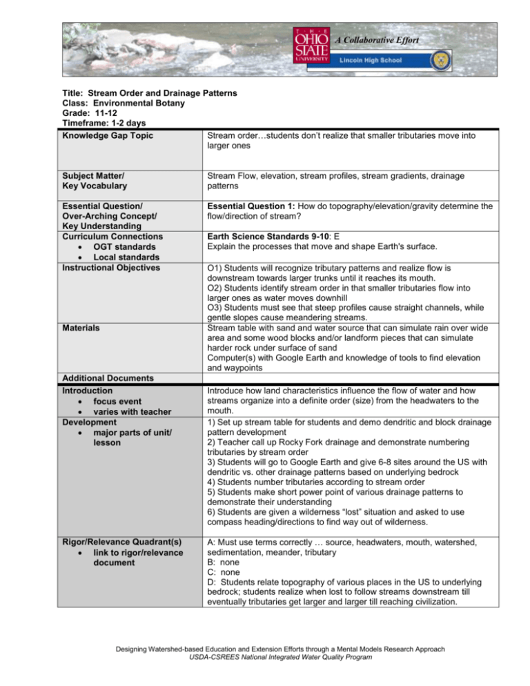
A Collaborative Effort Title: Stream Order and Drainage Patterns Class: Environmental Botany Grade: 11-12 Timeframe: 1-2 days Knowledge Gap Topic Stream order…students don’t realize that smaller tributaries move into larger ones Subject Matter/ Key Vocabulary Stream Flow, elevation, stream profiles, stream gradients, drainage patterns Essential Question/ Over-Arching Concept/ Key Understanding Curriculum Connections OGT standards Local standards Instructional Objectives Essential Question 1: How do topography/elevation/gravity determine the flow/direction of stream? Materials Additional Documents Introduction focus event varies with teacher Development major parts of unit/ lesson Rigor/Relevance Quadrant(s) link to rigor/relevance document Earth Science Standards 9-10: E Explain the processes that move and shape Earth's surface. O1) Students will recognize tributary patterns and realize flow is downstream towards larger trunks until it reaches its mouth. O2) Students identify stream order in that smaller tributaries flow into larger ones as water moves downhill O3) Students must see that steep profiles cause straight channels, while gentle slopes cause meandering streams. Stream table with sand and water source that can simulate rain over wide area and some wood blocks and/or landform pieces that can simulate harder rock under surface of sand Computer(s) with Google Earth and knowledge of tools to find elevation and waypoints Introduce how land characteristics influence the flow of water and how streams organize into a definite order (size) from the headwaters to the mouth. 1) Set up stream table for students and demo dendritic and block drainage pattern development 2) Teacher call up Rocky Fork drainage and demonstrate numbering tributaries by stream order 3) Students will go to Google Earth and give 6-8 sites around the US with dendritic vs. other drainage patterns based on underlying bedrock 4) Students number tributaries according to stream order 5) Students make short power point of various drainage patterns to demonstrate their understanding 6) Students are given a wilderness “lost” situation and asked to use compass heading/directions to find way out of wilderness. A: Must use terms correctly … source, headwaters, mouth, watershed, sedimentation, meander, tributary B: none C: none D: Students relate topography of various places in the US to underlying bedrock; students realize when lost to follow streams downstream till eventually tributaries get larger and larger till reaching civilization. Designing Watershed-based Education and Extension Efforts through a Mental Models Research Approach USDA-CSREES National Integrated Water Quality Program Product/Artifacts/Student Evidence of Understanding Accommodations plan B differentiated instruction Formative Assessment/Feedback measure of progress Final Evaluation project rubric oral or paper quiz/test portfolio Teacher Reflection complete after lesson Students produce power point with various drainage patterns Students provide directions for leaving a wilderness area when lost, based on stream direction/flow If one only has one stream table but has a web cam/projector, this can be projected onto a screen while running so whole class can see easier. Also, it could be used as a demo for a small group of students while others work on other parts of an assignment or lab. Ask leading questions during stream table demo. Have students number some sample tributaries correctly according to stream order Have students discuss two or three patterns discovered on Google with instructor before they produce power point Students produce a power point that correctly shows several different drainage patterns with streams numbered according to correct order. Student write up a set of directions which show instructor that they would follow stream flow to larger and larger tributaries until they reach civilization I only did the demonstration part of this lab this year. However, students showed through answers to probative questions that a young steep stream tends to be straight, while an older stream with little slope tend to meander. Just ran out of time to do the Google Earth part, but plan on that for next year. Designers/Email: Fred Donelson (fdonelson@gjps.org) Additional Comments: A beginning activity to help students understand basic concepts of headwaters versus the mouth of the stream, and how smaller tributaries feed into larger streams. Designing Watershed-based Education and Extension Efforts through a Mental Models Research Approach USDA-CSREES National Integrated Water Quality Program


![dynamic_planet_notes[1]](http://s3.studylib.net/store/data/007076439_1-69e76760cbc32fcb4f029e41a163992e-300x300.png)