Appeal/Comment Form
advertisement
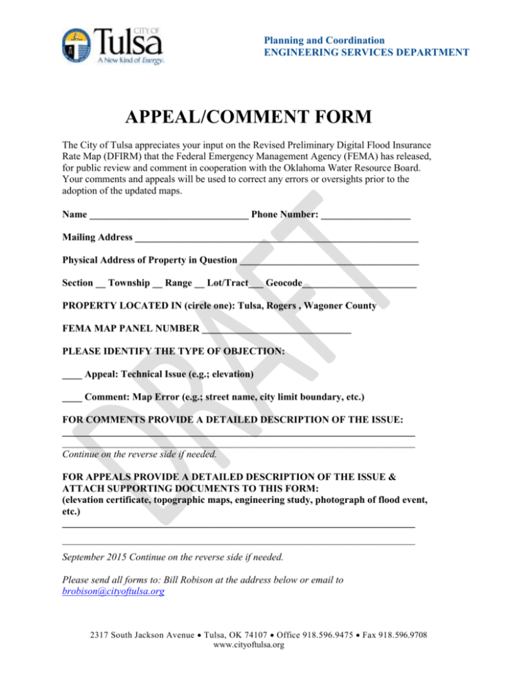
Planning and Coordination ENGINEERING SERVICES DEPARTMENT APPEAL/COMMENT FORM The City of Tulsa appreciates your input on the Revised Preliminary Digital Flood Insurance Rate Map (DFIRM) that the Federal Emergency Management Agency (FEMA) has released, for public review and comment in cooperation with the Oklahoma Water Resource Board. Your comments and appeals will be used to correct any errors or oversights prior to the adoption of the updated maps. Name ________________________________ Phone Number: __________________ Mailing Address _________________________________________________________ Physical Address of Property in Question ____________________________________ Section __ Township __ Range __ Lot/Tract___ Geocode_______________________ PROPERTY LOCATED IN (circle one): Tulsa, Rogers , Wagoner County FEMA MAP PANEL NUMBER ______________________________ PLEASE IDENTIFY THE TYPE OF OBJECTION: ____ Appeal: Technical Issue (e.g.; elevation) ____ Comment: Map Error (e.g.; street name, city limit boundary, etc.) FOR COMMENTS PROVIDE A DETAILED DESCRIPTION OF THE ISSUE: _______________________________________________________________________ _______________________________________________________________________ Continue on the reverse side if needed. FOR APPEALS PROVIDE A DETAILED DESCRIPTION OF THE ISSUE & ATTACH SUPPORTING DOCUMENTS TO THIS FORM: (elevation certificate, topographic maps, engineering study, photograph of flood event, etc.) _______________________________________________________________________ _______________________________________________________________________ September 2015 Continue on the reverse side if needed. Please send all forms to: Bill Robison at the address below or email to brobison@cityoftulsa.org 2317 South Jackson Avenue Tulsa, OK 74107 Office 918.596.9475 Fax 918.596.9708 www.cityoftulsa.org
