CCDRR02: Explain the principal features of Vanuatu`s climate and
advertisement
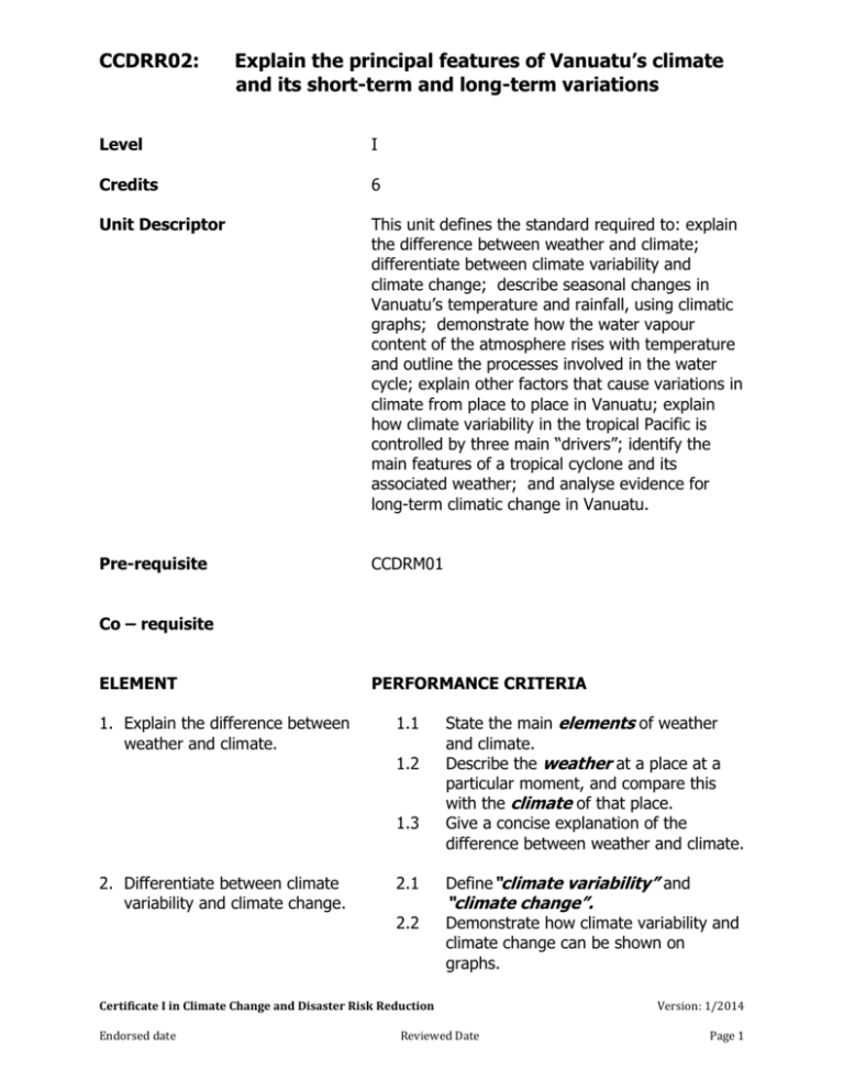
CCDRR02: Explain the principal features of Vanuatu’s climate and its short-term and long-term variations Level I Credits 6 Unit Descriptor This unit defines the standard required to: explain the difference between weather and climate; differentiate between climate variability and climate change; describe seasonal changes in Vanuatu’s temperature and rainfall, using climatic graphs; demonstrate how the water vapour content of the atmosphere rises with temperature and outline the processes involved in the water cycle; explain other factors that cause variations in climate from place to place in Vanuatu; explain how climate variability in the tropical Pacific is controlled by three main “drivers”; identify the main features of a tropical cyclone and its associated weather; and analyse evidence for long-term climatic change in Vanuatu. Pre-requisite CCDRM01 Co – requisite ELEMENT 1. Explain the difference between weather and climate. PERFORMANCE CRITERIA 1.1 1.2 1.3 2. Differentiate between climate variability and climate change. State the main elements of weather and climate. Describe the weather at a place at a particular moment, and compare this with the climate of that place. Give a concise explanation of the difference between weather and climate. 2.1 Define“climate variability” and 2.2 Demonstrate how climate variability and climate change can be shown on graphs. “climate change”. Certificate I in Climate Change and Disaster Risk Reduction Endorsed date Reviewed Date Version: 1/2014 Page 1 CCDRR02: Explain the principal features of Vanuatu’s climate and its short-term and long-term variations 3. Describe seasonal changes in Vanuatu’s temperature and rainfall, using climatic graphs. 3.1 3.2 4. Demonstrate how the water vapour content of the atmosphere rises with temperature, and outline the processes involved in the water cycle. 4.1 4.2 4.3 Explain to a friend how Vanuatu’s temperature and rainfall change during the year, with the aid of a climograph. Construct a climatic graph for one of the meteo stations in Vanuatu. Define humidity and explain how heating can convert liquid water into water vapour through the process of evaporation. Demonstrate, using a diagram, that warm air can hold more water vapour than cold air. Draw a diagram to explain the water cycle and the constituent processes of evapo-transpiration, condensation, precipitation, run-off and underground flow. 5. Explain other factors that cause variations in climate from place to place in Vanuatu. 5.1 5.2 6. Explain how climate variability in the tropical Pacific is controlled by three main “drivers”. 6.1 6.2 6.3 6.4 7. Identify the main features of a tropical cyclone and its associated weather. 7.1 Describe how and why latitude and altitude cause differences in climate from island to island and within islands. Determine those areas of Vanuatu that are more liable to drought and those that may have problems of flooding. Explain the meaning of a convergence zone and “climate drivers” Identify the Intertropical Convergence Zone and the South Pacific Convergence Zone on a large map of the Pacific. Give simple definitions of an “El Nino” season and a “La Nina” season. In pairs, and with the help of diagrams, organize a presentation on “ENSO” to a group of people, demonstrating how the movement of the “warm pool” affects rainfall patterns in Vanuatu and the Pacific. Draw a diagram to show the structure of a tropical cyclone in the southern hemisphere. Certificate I in Climate Change and Disaster Risk Reduction Endorsed date Reviewed Date Version: 1/2014 Page 2 CCDRR02: Explain the principal features of Vanuatu’s climate and its short-term and long-term variations 7.2 7.3 8. Analyse evidence for long-term climatic change in Vanuatu. 8.1 Describe features of the weather associated with a tropical cyclone, including variations in winds. Tell stories of personal experiences during a tropical cyclone. Using data from the Vanuatu Meteorology and Geohazards Department (VMGD), analyse how Vanuatu’s temperature and rainfall patterns, sea levels and ocean PH have already changed, and how they are likely to continue to change during the coming years. REQUIRED SKILLS AND KNOWLEDGE Key competenciesrequired for this unit Key competency Collect, analyse and organize information Communicate ideas and information Plan and organize activities Work with others and in teams Problem-solving Graphical skills Technical skills Show initiative Example of application Collect, analyse and organize information on seasonal climatic changes in Vanuatu, ENSO, variations in climate within Vanuatu and past/future climatic change in Vanuatu. Give talks on changes in climate during the year in Vanuatu, ENSO, and personal experiences during an actual cyclone. Organise a presentation on El Nino and La Nina to a group of people. Work in pairs to explain concepts associated with weather and climate to each other. Determine areas of Vanuatu that are more liable to drought and those that are more liable to flooding (based on latitude and altitude), and explain why. Analyse and construct climatic graphs and maps. Draw a diagram of the water cycle. Use the internet or printed resources to find out about future long-term climatic change in Vanuatu (optional) Arrange a meaningful presentation on ENSO to a group of people in the locality. Certificate I in Climate Change and Disaster Risk Reduction Endorsed date Reviewed Date Version: 1/2014 Page 3 CCDRR02: Explain the principal features of Vanuatu’s climate and its short-term and long-term variations Prior knowledge required Knowledge and experience of the water cycle, seasonal climatic variations and tropical cyclones. Basic graphicacy skills - graph construction and interpretation, mapping skills. EVIDENCE GUIDE Critical aspects of evidence required to demonstrate competency in this Unit Context of Assessment Correct definitions of weather, climate, climate variability, climate change, humidity, evaporation, condensation and precipitation. Meaningful explanations of the water cycle, convergence zones and ENSO. Application of meteorological principles to explain differences in climate within Vanuatu. Analysis of areas most prone to drought and flooding within Vanuatu. Evaluation of past and likely future climatic change in Vanuatu. Effective communication to other people, using diagrams, of an understanding of the water cycle, climate “drivers” and weather associated with tropical cyclones. Interpretation and construction of climatic graphs. Assessment of underpinning knowledge and communication of ideas can be done in the classroom through observation and discussion. Assessment of awareness talks on the water cycle and Vanuatu’s climate “drivers” can be done in the field or in the classroom. Certificate I in Climate Change and Disaster Risk Reduction Endorsed date Reviewed Date Version: 1/2014 Page 4 CCDRR02: Explain the principal features of Vanuatu’s climate and its short-term and long-term variations Resource Implications Access to the internet for research on climate projections (optional) Cartoon film on El Nino/La Nina produced by ABM/VMGD-SPC/GIZ- CSIRO-RCCC. Map of climate drivers, as provided in PCCSP brochures. Teachers’ Guide for ENSO toolkit. Toolkit pictures for “Learning About Climate Change the Pacific Way” produced by GIZSPC. Teachers’ Guide for the above. Choice of large sheets of paper and felt pens, blackboard and chalk, notebooks, etc. RANGE STATEMENT The range statement relates to the unit of competency as a whole. Elements of weather and climate may include the following: temperature, precipitation (rainfall), humidity, wind direction, wind speed, cloud cover, cloud type, hours of sunshine, and atmospheric pressure. Climate variability refers to the way that warm and cold, wet and dry seasons are not the same from one year to the next. Climate change refers to changes in climate, measured statistically, that persist for an extended period of time, usually for several decades, either due to natural variability or as a result of human activity. Climographs (climatic graphs) are typically graphs that show average monthly statistics of temperature and rainfall over a period of one year. Humidity refers to the water vapour content of the air. It includes absolute humidity and relative humidity. The water cycle refers to a set of pathways in which water moves around and changes from one state to another. It is driven by solar energy and includes the processes of evapo-transpiration, condensation, precipitation, run-off and underground flow. Certificate I in Climate Change and Disaster Risk Reduction Endorsed date Reviewed Date Version: 1/2014 Page 5 CCDRR02: Explain the principal features of Vanuatu’s climate and its short-term and long-term variations Latitude and altitude are two of the factors affecting world climates. Latitude refers to distance from the Equator, and altitude refers to height above mean sea level. A convergence zone is a place where bodies of air are meeting together. Climate drivers are factors that control the climate (and its variability) in a region. El Nino and La Nina are the two extreme phases of ENSO, or El Nino Southern Oscillation. ENSO refers to the way in which the warm pool of water in the Western Pacific moves eastwards for a period of several months, then moves back again to the west. A tropical cyclone in the Southern Hemisphere refers to a moving body of air with low pressure, in-blowing winds and heavy rainfall, found south of the Equator. The air circulates in a clockwise direction. Certificate I in Climate Change and Disaster Risk Reduction Endorsed date Reviewed Date Version: 1/2014 Page 6

