ORDER NO. _765_ TEMPORARY AREA MOTORIZED TRAVEL
advertisement

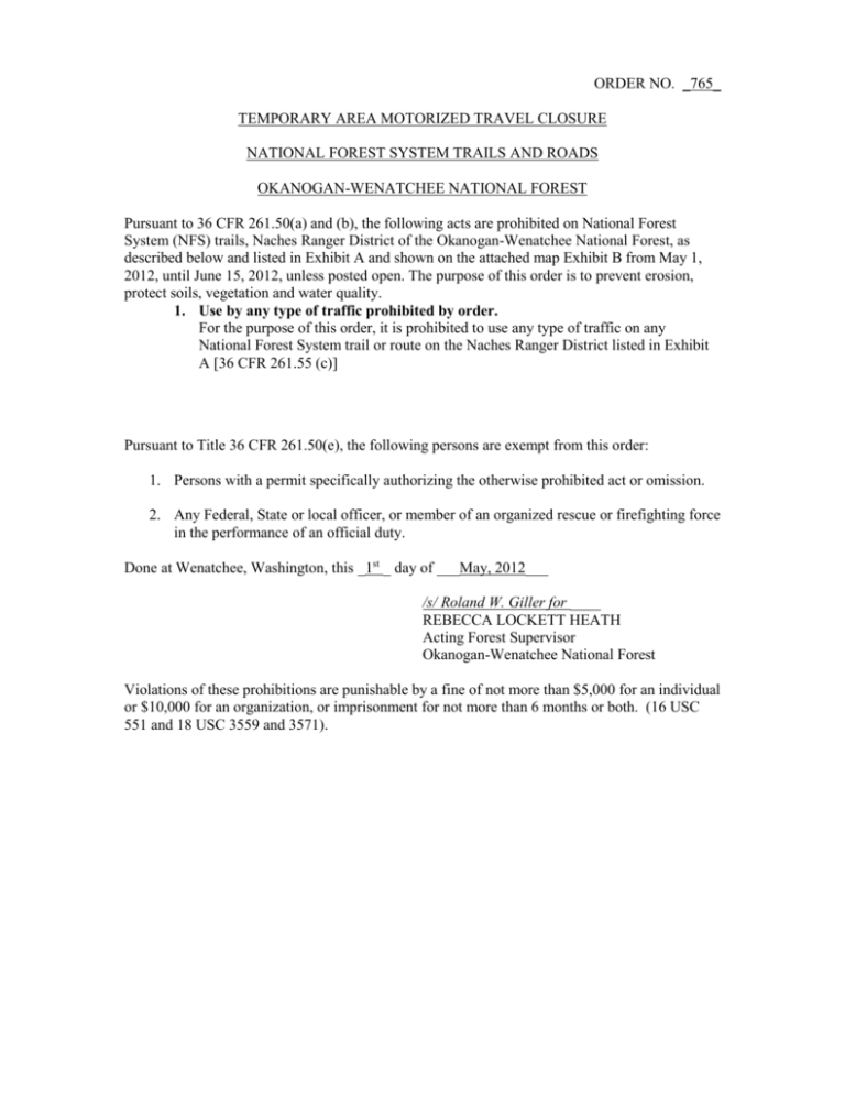
ORDER NO. _765_ TEMPORARY AREA MOTORIZED TRAVEL CLOSURE NATIONAL FOREST SYSTEM TRAILS AND ROADS OKANOGAN-WENATCHEE NATIONAL FOREST Pursuant to 36 CFR 261.50(a) and (b), the following acts are prohibited on National Forest System (NFS) trails, Naches Ranger District of the Okanogan-Wenatchee National Forest, as described below and listed in Exhibit A and shown on the attached map Exhibit B from May 1, 2012, until June 15, 2012, unless posted open. The purpose of this order is to prevent erosion, protect soils, vegetation and water quality. 1. Use by any type of traffic prohibited by order. For the purpose of this order, it is prohibited to use any type of traffic on any National Forest System trail or route on the Naches Ranger District listed in Exhibit A [36 CFR 261.55 (c)] Pursuant to Title 36 CFR 261.50(e), the following persons are exempt from this order: 1. Persons with a permit specifically authorizing the otherwise prohibited act or omission. 2. Any Federal, State or local officer, or member of an organized rescue or firefighting force in the performance of an official duty. Done at Wenatchee, Washington, this _1st _ day of ___May, 2012___ /s/ Roland W. Giller for ____ REBECCA LOCKETT HEATH Acting Forest Supervisor Okanogan-Wenatchee National Forest Violations of these prohibitions are punishable by a fine of not more than $5,000 for an individual or $10,000 for an organization, or imprisonment for not more than 6 months or both. (16 USC 551 and 18 USC 3559 and 3571). EXHIBIT A EXHIBIT A Trail # 325 601 602 608 609 610 611 Trail Name D BETHEL RIDGE D HOG BACK D SLEEPY LOOP D LOUIE WAY D PICKLE PRAIRIE D SHORTY D NORTH PICKLE PRAIRIE Trail Miles 6.00 2.90 1.70 7.40 3.60 0.17 2.00 Beginning Terminus RD #1500-324 RD 1012550 1203000 RD #1202 RD #1202 1202000 RD #1202 Ending Terminus RD #1400 RD 1012540 1202000 LOUIE GAP RD #1201 1202608 TR #609 613 D DIVIDE RIDGE 0.60 Rd 1020615 State/Prvt Bdy 613 D DIVIDE RIDGE 2.60 Rd 1020615 State/Prvt Bdy 613 D DIVIDE RIDGE 6.00 Rd 1020615 State Bdy 613 D DIVIDE RIDGE 8.20 Rd 1020615 State Bdy 613 D DIVIDE RIDGE 9.80 Rd 1020615 State Bdy 613 615 617 619 D DIVIDE RIDGE D DIVIDE RIDGE WEST D LILY POND D NARROW NECK GAP 12.10 8.00 1.00 2.90 Rd 1020615 RD #1020 TR #676 RD #1070-578 620 D RATTLESNAKE 2.90 621 622 636 637 638 639 D BLUE SLIDE D DONNIKER PASS D SHORT AND DIRTY D ROCKY SLIDE D SPENCER CREEK 5.20 0.14 1.20 5.70 1.30 1.80 640 641 642 644 651 652 D MEMORIAL MEADOWS D LEANING TREE D BUTCHER KNIFE D CJR'S HIDEOUT D BUCKHORN GAP D BETHEL OAK 3.70 3.70 3.80 3.20 2.70 4.40 654 661 663 665 670 COPPER CITY D HUMPHREY BUTTE D JUMPOFF BYPASS D SWEET HOME D SUMMIT SPRINGS TIE 2.85 6.20 0.70 1.70 1.50 RD #1500-625 RD 1000, GREY CREEK C.G. Trail #621 Blue Slide TR #621 RD #1020 TR #615 RD #1000 RD #1050-583, MINNIE MDW C.G. RD #1206 TR #615 1701530 RD #1206-546 1401222 1808 Deep Creek Road RD #1010-538 1302000 TR #696 RD 1701 State Bdy RD #1070 RD #1708-590 TR #615 RATTLESNAKE CR TR# 1114 671 672 675 676 D BETHEL - LYNN LK. TIE D BETHEL D CATTLE CAMP D KANER FLAT 1.80 1.20 2.00 7.40 RD 1400235 1400652 RD 1702 RD #1903 TR #615 Dead End TR #637 RD #1010-531 TR #640 TR #637 TR #615 TR #661 TR #640 694 TR #641 1401220 Miners Ridge TR #637 Trail 1127 TR #697 694 325 ( RD 1500325) 1500325 RD 1701530 TR #688 EXHIBIT A 677 D SPRUCE CREEK TRAIL 1.77 RD 1010538 680 D LITTLE RATTLESNAKE 3.50 RD #1501 684 685 686 D NACHES PASS D WOODPECKER BY-PASS D MILK CREEK 7.20 0.70 3.00 RD 1900 1708000 RD #1708 694 695 D SUMMIT D MID SUMMIT 5.40 2.20 307 RD 1701 696 697 698 699 1111 1126 1127 1127 D MUD SPRINGS 1613696 D CLOVER SPRINGS 8.40 3.40 0.47 2.00 9.00 3.40 0.67 2.30 1134 1145 608 A 609 A 640 A 642 A 651 A 677 A 694 A 698 A 941 TEN DAY TRAIL LONG LAKE LONG LAKE TIE D PICKLE PRAIRE LOOP D MEM. MDW-BLUE SLIDE TIE PYRAMID PEAK 1.20 1.90 0.40 2.20 1.50 1.55 0.90 0.28 1.20 0.26 14.48 RD #1601 RD #1605 694 1204000 RD #1306-370 RD #1201 LOUIE GAP LOUIE GAP Conrad Meadows TR #1120 LONG LAKE 608 609 640 642 651 677 694 694 RD 1900 943 BEAR CREEK 7.00 RD #1911 943 A 945 946 CUB CREEK MIDDLE FORK SOUTH FORK 2.50 10.00 5.60 TR #943 RD 1913 RD #1902 947 948 949 950 952 MOUNT CLIFTY QUARTZ MOUNTAIN QUARTZ CREEK OLD KANER WEST QUARTZ CR LOOP 5.60 7.50 7.00 0.50 13.20 955 INDIAN FLAT 1.50 RD #1905 RD 1904-740 RD 1903 676 RD #1902 SR 410 INDIAN FLAT 961 963 963 A LITTLE BALD SAND CREEK SAND CREEK CUTOFF 11.00 10.50 1.30 RD 1704 SAND CREEK SAND CREEK C.G. D SECTION 3 OVERLOOK RUSSELL RIDGE LOUIE DIVIDE RIDGE DIVIDE RIDGE D BUCKHORN GAP LOOP D SPRUCE TIE D SUMMIT A 637 (RD 1010637) RD #1500 BETHEL RIDGE Government Meadows 1708686 TR #694 Forest Bdy/ Barber Springs RD 694 RD #1600 CLOVER SPRINGS TR #696 698A Sec 4 RD #1382 LOUIE GAP JUMPOFF JUMPOFF Cirque Lake LOST LAKE 608 609 621 640 in section 5. 651 RD 1010 695 694 PYRAMID PEAK TR #1388 MANASTASH RIDGE TR #1388 MANASTASH RIDGE RD 1902 RD #1906 MANASTASH RIDGE TR 1388 TR 688 308 LOOP TRAIL TRAIL 952 SADDLE CAMP RD 1600-231 CROW CREEK C.G. TR #963 EXHIBIT A 963 B 964 965 966 YELLOW JACKET LOST CREEK MILK CREEK GOLD CREEK 3.82 3.50 3.50 2.90 SAND CREEK C.G. RD 1704-311 RD 1707 RD 1703 RD 1906 RD 1706 TR 686 (RD 1708) TR 694


