LANDFORMS TEST REVIEW Can you label the landform region
advertisement
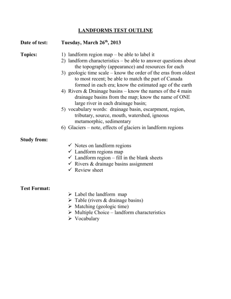
LANDFORMS TEST OUTLINE Date of test: Tuesday, March 26th, 2013 Topics: 1) landform region map – be able to label it 2) landform characteristics – be able to answer questions about the topography (appearance) and resources for each 3) geologic time scale – know the order of the eras from oldest to most recent; be able to match the part of Canada formed in each era; know the estimated age of the earth 4) Rivers & Drainage basins – know the names of the 4 main drainage basins from the map; know the name of ONE large river in each drainage basin; 5) vocabulary words: drainage basin, escarpment, region, tributary, source, mouth, watershed, igneous metamorphic, sedimentary 6) Glaciers – note, effects of glaciers in landform regions Study from: Notes on landform regions Landform regions map Landform region – fill in the blank sheets Rivers & drainage basins assignment Review sheet Label the landform map Table (rivers & drainage basins) Matching (geologic time) Multiple Choice – landform characteristics Vocabulary Test Format: LANDFORMS TEST REVIEW 1. Can you label the landform region map without looking at your notes???? Canadian Shield Interior Plains Innuitian Mtns. Western Cordillera Appalachian Mtns. Arctic & Hudson Bay Lowlands Great Lakes – St. Lawrence Lowlands 2. a) State the name of Canada’s and the letter of the four major drainage basins. b) Beside each drainage basin state the name of a major river that flows in that drainage basin. Drainage Basin Name of matching river B A C D 3a) Put the geologic ERAS in the correct order from OLDEST (1) to MOST RECENT (4) by placing the numbers 1, 2, 3, or 4 in the space to the LEFT of the eras. (2 marks) 3b) Match the ERAS with the correct geologic events by placing the appropriate letter in the space to the RIGHT of the eras. (2 marks) ORDER ________ ________ ________ ________ Matching Event CENOZOIC PRECAMBRIAN MESOZOIC PALEOZOIC ____ ____ ____ ____ a) formation of Appalachians b) formation of W. Cordillera c) formation of Cdn. Shield d) glaciation of Canada VOCABULARY - Use the following words in a sentence. drainage basin escarpment region tributary metamorphic source watershed mouth igneous sedimentary ________________________________________________________________________ ________________________________________________________________________ ________________________________________________________________________ ________________________________________________________________________ ________________________________________________________________________ ________________________________________________________________________ ________________________________________________________________________ ________________________________________________________________________ ________________________________________________________________________ ________________________________________________________________________ ________________________________________________________________________ ________________________________________________________________________ ________________________________________________________________________ ________________________________________________________________________ ________________________________________________________________________ ________________________________________________________________________ ________________________________________________________________________ ________________________________________________________________________ ________________________________________________________________________ ________________________________________________________________________ ________________________________________________________________________ LANDFORM CHARACTERISTICS Write the letter of the correct region beside each of the descriptions that follow. Answers can be used more than once. a) Canadian Shield b) Interior Plains c) Western Cordillera d) Appalachian Mountains e) Hudson Bay – Arctic Lowlands f) Innuitian Mountains g) Great Lakes – St. Lawrence Lowlands LETTER DESCRIPTION The landform region in which approximately 50% of Canada's population lives The landform region that the Prairie provinces are found in. This landform region is where we get the majority of our metallic minerals, like gold, silver, nickel, and copper. The landform region with the oldest mountains in Canada. They are lower because they have had a long time to erode. The Rocky Mountains are part of this landform region. Part of this landform region is low with mostly swampy forest. The landform region has tall, sharp mountains covered by ice and glaciers year round. In which landform region do we live? Part of this landform region is made up of many islands of sedimentary rock with very little vegetation and covered in snow most of the year. This landform region has steep mountain valleys where glaciers created fjords. This landform region has old mountains eroded down to a fraction of their original height with a drowned coastline and deep harbours which make it easy for fishing boats to come and go. This is the largest landform region and has igneous and metamorphic rocks that are over 3 billion years old. This landform region is where we drill for oil and natural gas. This landform region has resources similar to the Appalachians (like coal) but is too remote to make retrieving them affordable. This region is often called the “breadbasket” of Canada because wheat is grown in the thick soils that cover the region. This region is covered in vast forests and has thousands of lakes and rivers. The winter Olympics in Vancouver and at Whistler Mountain happened in this landform region.
