Meeting-agenda-19.12.2014
advertisement
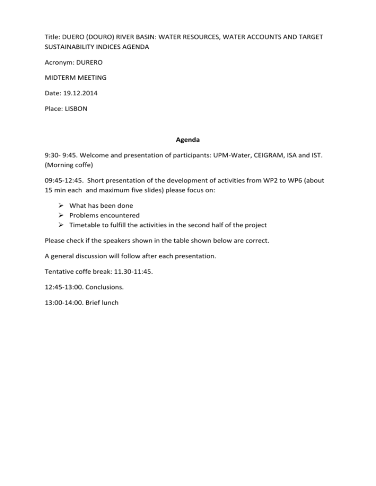
Title: DUERO (DOURO) RIVER BASIN: WATER RESOURCES, WATER ACCOUNTS AND TARGET SUSTAINABILITY INDICES AGENDA Acronym: DURERO MIDTERM MEETING Date: 19.12.2014 Place: LISBON Agenda 9:30- 9:45. Welcome and presentation of participants: UPM-Water, CEIGRAM, ISA and IST. (Morning coffe) 09:45-12:45. Short presentation of the development of activities from WP2 to WP6 (about 15 min each and maximum five slides) please focus on: What has been done Problems encountered Timetable to fulfill the activities in the second half of the project Please check if the speakers shown in the table shown below are correct. A general discussion will follow after each presentation. Tentative coffe break: 11.30-11:45. 12:45-13:00. Conclusions. 13:00-14:00. Brief lunch WPs WP2 WP3 WP4 WP5 WP6 WP7 Deliverables D1.Development of SEEAW D4. Estimations with MOHID and SIMPA at the Tâmega pilot case D5. Development of crop water foot print balance D6. Development of scenarios for optimal water allocation D3. Database of rainfall intensities , specifically within 10 minutes. Speaker David (SP) y Eduardo (Pt) Ramiro (Luis) D1. Estimation of confidence limits for the hydrological data. D2. Development of new methodology for integration of uncertainty in the SEAAW tables. D4.Generation of geo-referenced data layers useful for erosion infiltration / runoff models that could be the base for developing erosion risk maps (RN and LG) D1-D5.Development of a WS&D riparian indicator D1-D5.Development of a WS&D riparian indicator D1. Asses. how the River Basin Auth. in the selected river basins have integrated quantitative water management issues in the preparation of the 2015 River Basin Management Plans D2.Guidelines for saving/reusing water in the pilot river areas while maintaining ecosystem services and sustainability D3.Guidelines of the best water management in irrigated agriculture in the pilot basins D4. Best practices guidelines for water optimization improving water availability and water quality and ecological status of water bodies, maintaining ecosystem services and sustainability. D5. Development of proposals for river restoration. D6.Performance of risk analysis taking into account long term and short term scenarios D7. Development of econometric model analyzing the economic drought risk D8.Report on the effects of different scenarios on agriculture, water availability and ecological status of target fish species. Stakeholder Engagement Dissemination DG Alberto Ramiro (LG) Alberto (AT and AS) (RN and LG) (AT and AS). TF team LR(( CHD) (TF?) LR (RN and TF) (MG and DG) (LG) (AG) (TF) LR LR WP2 D1.Development of SEEAW Year 2009 because in Pt has data that year. Sp: SIMPA resolution 1 x 1 km2 Disagregated in 13 zones . Nº 1 Hydrometeorological model estudy in zone 1 (SIMPA-AQuatool). Information (SIMPA) Etp, P, Soil storage, Infiltration, Groundwater storage, GW run off. Tables: include desagregation of variables; they have estimated: ground water run off, soil water. Table VI.1 and VI.2 AQUATOOL (Water resources management model) PT. tHE work is behind Sp D2. WebGIS. Solution in an open-source Drawbacks from models used for estimation of variables: differences between Pt and Sp. Recommendations fr D6. Scenarios chosen at the end of February Ramiro: proposes guidelines to safe water and change uses after observing results from climate change scenario. If we keep the land use as it is know, and looking how the spectations of climate change could be attended by the hidrological balance. Tamega (2004-14) D5. Development of crop water foot print balance (LG) Adaja-Cega-Eresma Green water is a concern since ETP could be addressed by vegetation covering the soil not only the crop. WP3 D1. Could be done at the end of the project. D3. Database of rainfall intensities , specifically within 10 minutes. Checking the meteorological data from AEMET with the results from the hydrograph bands. Include the errors in the SEEAWAter. To forcast would be very useful. Ramiro will used the pdf functions defined to use in the Pt basin Time series for stream events (10 min D4 is going to be connected with D3 Water management for stakeholders to improve water quality, D2. Development of new methodology for integration of uncertainty in the SEAAW tables. Performance indicator. WP4 D1-D5.Development of a WS&D riparian indicator Sp.Cega-Eresma-Adaja Decrease in GW explotation. Structural and compositional riparian vegetation indexes. Change a land use in water basin with riparian vegetation. T modeling with climactic scenarios to develop WS indexes. Pt. Tamega points 250 m long river stretches (Google Earth imagery) Structual composition indexes


![Georgina Basin Factsheet [DOCX 1.4mb]](http://s3.studylib.net/store/data/006607361_1-8840af865700fceb4b28253415797ba7-300x300.png)
