NAME______________________ PERIOD________
advertisement
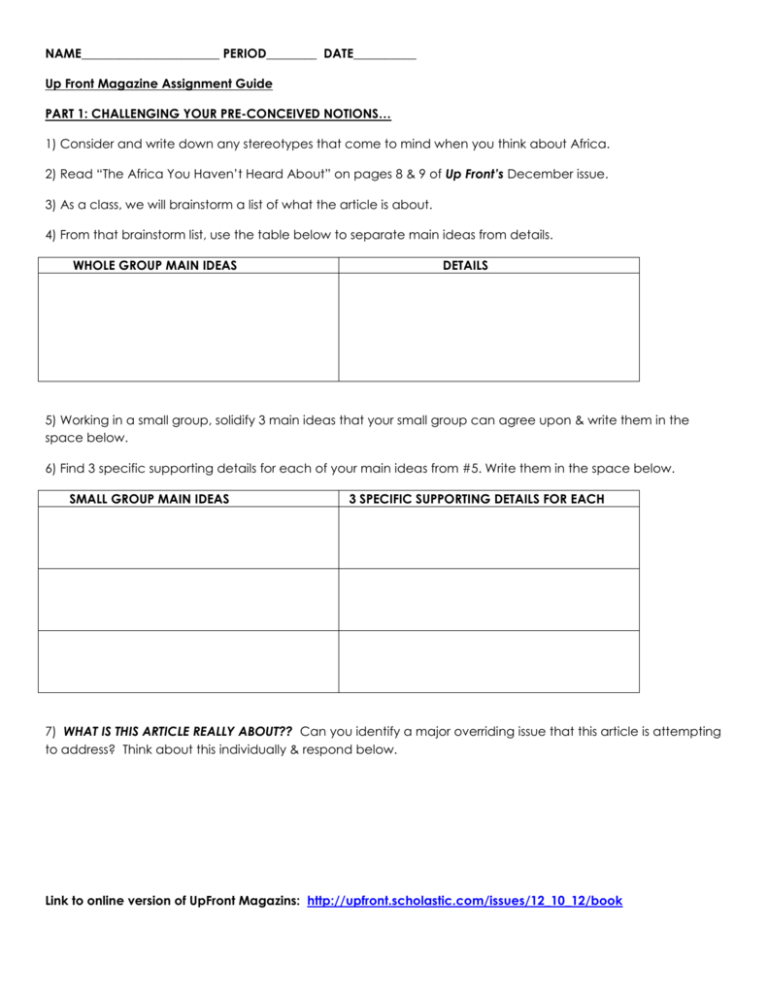
NAME______________________ PERIOD________ DATE__________ Up Front Magazine Assignment Guide PART 1: CHALLENGING YOUR PRE-CONCEIVED NOTIONS… 1) Consider and write down any stereotypes that come to mind when you think about Africa. 2) Read “The Africa You Haven’t Heard About” on pages 8 & 9 of Up Front’s December issue. 3) As a class, we will brainstorm a list of what the article is about. 4) From that brainstorm list, use the table below to separate main ideas from details. WHOLE GROUP MAIN IDEAS DETAILS 5) Working in a small group, solidify 3 main ideas that your small group can agree upon & write them in the space below. 6) Find 3 specific supporting details for each of your main ideas from #5. Write them in the space below. SMALL GROUP MAIN IDEAS 3 SPECIFIC SUPPORTING DETAILS FOR EACH 7) WHAT IS THIS ARTICLE REALLY ABOUT?? Can you identify a major overriding issue that this article is attempting to address? Think about this individually & respond below. Link to online version of UpFront Magazins: http://upfront.scholastic.com/issues/12_10_12/book PART 2: READING FOR UNDERSTANDING… 1) Read the information on page 24 in the bottom boxes (“Political Systems Around the World” & “Notes on Country Data”. Having a clearer understanding of those categories will help you with part 3. 2) Turn to page 13 and read through the sample entry for the section you will be using for part 3 below. Read over each description so you have a good understanding of what each category covers. After reading continue to Part 3 below. PART 3: CREATING A COUNTRY PROFILE… 1) Take a blank, large map of Africa. Using the map on page 20 of the magazine, label the following 10 nations…they will be your “data set” nations for the rest of this assignment: SENEGAL SOUTH AFRICA NIGERIA ZIMBABWE ETHIOPIA KENYA SUDAN S. SUDAN* DEM. REPUBLIC OF CONGO BOTSWANA *YOU WILL NEED TO DRAW THE BOUNDARY LINE FOR THIS NEWLY FORMED NATION. 2) Using the country information provided on pages 22-24, label your maps with the following information. Create a color code for the “Political System” category which MUST appear on your map. Shade the entire country according to that code. Utilize any other “visual symbols” you think would be helpful…just be sure to share the explanation for those symbols on your completed map. Get as creative as you would like. % Urban Population Type of Political System (if not given, list as “other”)AND name of political leader; Date of origin % of population under age 15 Per Capita GDP Part 4: DRAWING YOUR OWN CONCLUSIONS… 1) Which of the statistical categories used in Part 3 do you think tell us the most about a nation? Why? 2) What conclusion can you draw about the dates of origin of the 10 nation data set used for part 3? 3) Choose 2 countries from your data set. Compare & contrast their “% under age 15” and “Literacy Rate” stats. Make a conclusion about which nation you would be most likely to invest in if you were an international entrepreneur. Explain your choice.
