Short version - EAL Nexus
advertisement
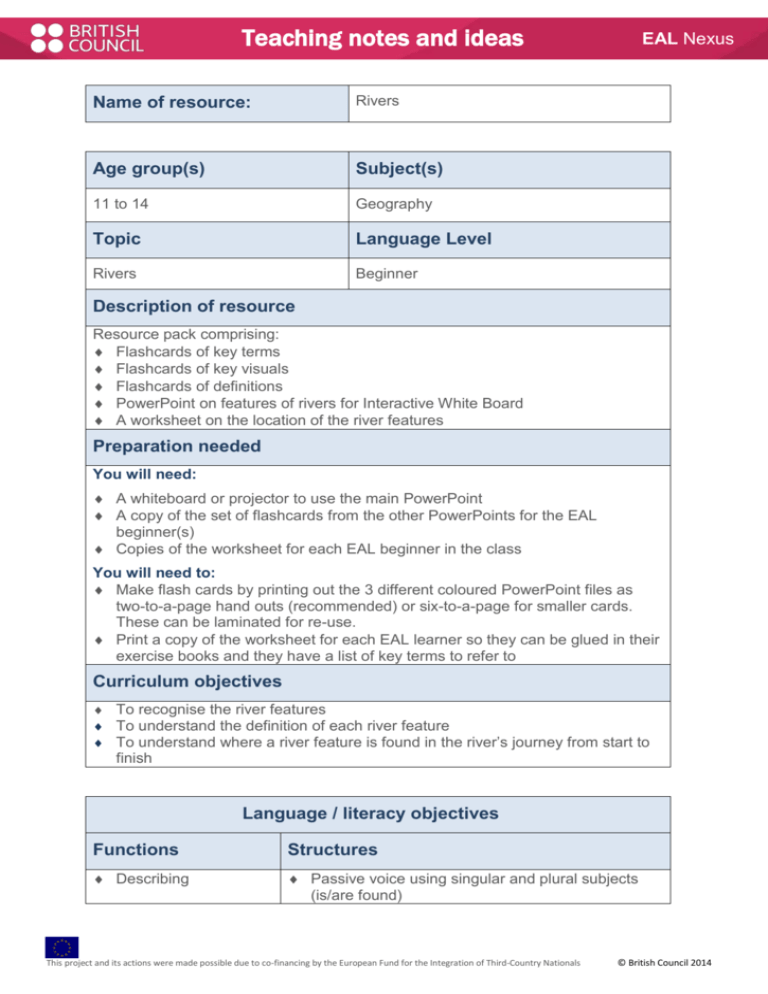
Teaching notes and ideas Name of resource: Rivers Age group(s) Subject(s) 11 to 14 Geography Topic Language Level Rivers Beginner EAL Nexus Description of resource Resource pack comprising: Flashcards of key terms Flashcards of key visuals Flashcards of definitions PowerPoint on features of rivers for Interactive White Board A worksheet on the location of the river features Preparation needed You will need: A whiteboard or projector to use the main PowerPoint A copy of the set of flashcards from the other PowerPoints for the EAL beginner(s) Copies of the worksheet for each EAL beginner in the class You will need to: Make flash cards by printing out the 3 different coloured PowerPoint files as two-to-a-page hand outs (recommended) or six-to-a-page for smaller cards. These can be laminated for re-use. Print a copy of the worksheet for each EAL learner so they can be glued in their exercise books and they have a list of key terms to refer to Curriculum objectives To recognise the river features To understand the definition of each river feature To understand where a river feature is found in the river’s journey from start to finish Language / literacy objectives Functions Structures Describing Passive voice using singular and plural subjects (is/are found) This project and its actions were made possible due to co-financing by the European Fund for the Integration of Third-Country Nationals © British Council 2014 EAL Nexus Vocabulary Key geographical terms: Source, drainage basin, watershed, confluence, tributaries, flood plain, river mouth, river bank, river bed, channel, delta, sediment, meander, silt, waterfall, ox-bow lake, interlocking spurs, estuary. This resource could be used: with the whole class as a revision session as differentiation within class with EAL learners one to one or small group with a teaching assistant independent learning as a homework Ideas for using the resource What to do Use the key words and visuals for pre-teaching, see Introducing new vocabulary. Encourage the EAL learners to translate the key word and / or the definition into their first language, see Use of bilingual dictionaries. The river visuals, terms and definitions can be used as flashcards / pairs cards in matching and sorting activities, when printed as hand-outs, 2 per page, cut and laminated. The EAL learner can be given a pen to highlight unfamiliar words in the definitions as they read them. The worksheet has a list of key words to translate. Use the substitution table in the worksheet to encourage the EAL learner to generate simple sentences to describe the position of the river feature. Explain the usage of the auxiliary verb is/are in the passive sentence. Other ideas for making the best use of this resource Learners could be encouraged to group the river features depending whether they would appear in the upper, middle or lower stages of the river’s journey as collaborative group or pair work. Learners who share a language may find it helpful to discuss the definitions of the features in their first language before trying to talk about them in English. Print copies of the keywords visuals and translations and laminate to use as a mat or display on the walls in the classroom This project and its actions were made possible due to co-financing by the European Fund for the Integration of Third-Country Nationals © British Council 2014
