File - Ms. Crumley`s Class
advertisement
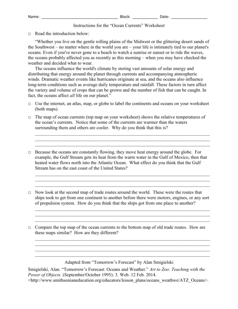
Name: ____________________________________ Block: ____________ Date: _________________ Instructions for the “Ocean Currents” Worksheet □ Read the introduction below: “Whether you live on the gentle rolling plains of the Midwest or the glittering desert sands of the Southwest – no matter where in the world you are – your life is intimately tied to our planet's oceans. Even if you've never gone to a beach to watch a sunrise or sunset or to ride the waves, the oceans probably affected you as recently as this morning – when you may have checked the weather and decided what to wear. The oceans influence the world's climate by storing vast amounts of solar energy and distributing that energy around the planet through currents and accompanying atmospheric winds. Dramatic weather events like hurricanes originate at sea, and the oceans also influence long-term conditions such as average daily temperature and rainfall. These factors in turn affect the variety and volume of crops that can be grown and the number of fish that can be caught. In fact, the oceans affect all life on our planet.” □ Use the internet, an atlas, map, or globe to label the continents and oceans on your worksheet (both maps). □ The map of ocean currents (top map on your worksheet) shows the relative temperatures of the ocean’s currents. Notice that some of the currents are warmer than the waters surrounding them and others are cooler. Why do you think that this is? ___________________________________________________________________________ ___________________________________________________________________________ ___________________________________________________________________________ □ Because the oceans are constantly flowing, they move heat energy around the globe. For example, the Gulf Stream gets its heat from the warm water in the Gulf of Mexico, then that heated water flows north into the Atlantic Ocean. What effect do you think that the Gulf Stream has on the east coast of the United States? ___________________________________________________________________________ ___________________________________________________________________________ ___________________________________________________________________________ □ Now look at the second map of trade routes around the world. These were the routes that ships took to get from one continent to another before there were motors, engines, or any sort of propulsion system. How do you think that the ships got from one place to another? ___________________________________________________________________________ ___________________________________________________________________________ ___________________________________________________________________________ □ Compare the top map of the ocean currents to the bottom map of old trade routes. How are these maps similar? How are they different? ___________________________________________________________________________ ___________________________________________________________________________ ___________________________________________________________________________ ___________________________________________________________________________ Adapted from “Tomorrow’s Forecast” by Alan Smigielski Smigielski, Alan. “Tomorrow’s Forecast: Oceans and Weather.” Art to Zoo: Teaching with the Power of Objects. (September/October 1995): 3. Web. 12 Feb. 2014. <http://www.smithsonianeducation.org/educators/lesson_plans/oceans_weathwe/ATZ_Oceans>.
