Cupertino.Project
advertisement
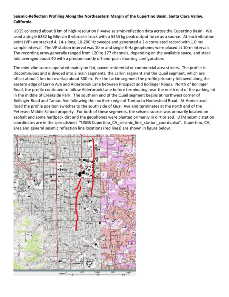
Seismic-Reflection Profiling Along the Northeastern Margin of the Cupertino Basin, Santa Clara Valley, California USGS collected about 8 km of high-resolution P-wave seismic-reflection data across the Cupertino Basin. We used a single 6382 kg Minivib II vibroseis truck with a 5455 kg peak output force as a source. At each vibration point (VP) we stacked 4, 14-s-long, 10-200 Hz sweeps and generated a 2-s correlated record with 1.0 ms sample interval. The VP station interval was 10 m and single 8-Hz geophones were placed at 10-m intervals. The recording array generally ranged from 120 to 177 channels, depending on the available space, and stack fold averaged about 40 with a predominantly off-end-push shooting configuration. The mini-vibe source operated mainly on flat, paved residential or commercial area streets. The profile is discontinuous and is divided into 2 main segments, the Larkin segment and the Quail segment, which are offset about 1 km but overlap about 500 m. For the Larkin segment the profile primarily followed along the eastern edge of Larkin Ave and Alderbrook Lane between Prospect and Bollinger Roads. North of Bollinger Road, the profile continued to follow Alderbrook Lane before terminating near the north end of the parking lot in the middle of Creekside Park. The southern end of the Quail segment begins at northwest corner of Bollinger Road and Tantau Ave following the northern edge of Tantau to Homestead Road. At Homestead Road the profile position switches to the south side of Quail Ave and terminates at the north end of the Petersen Middle School property. For both of these segments, the seismic source was primarily located on asphalt and some hardpack dirt and the geophones were planted primarily in dirt or sod. UTM seismic station coordinates are in the spreadsheet “USGS Cupertino_CA_seismic_line_station_coords.xlsx”. Cupertino, CA, area and general seismic reflection line locations (red lines) are shown in figure below.


