Marcus Landslide Lab
advertisement
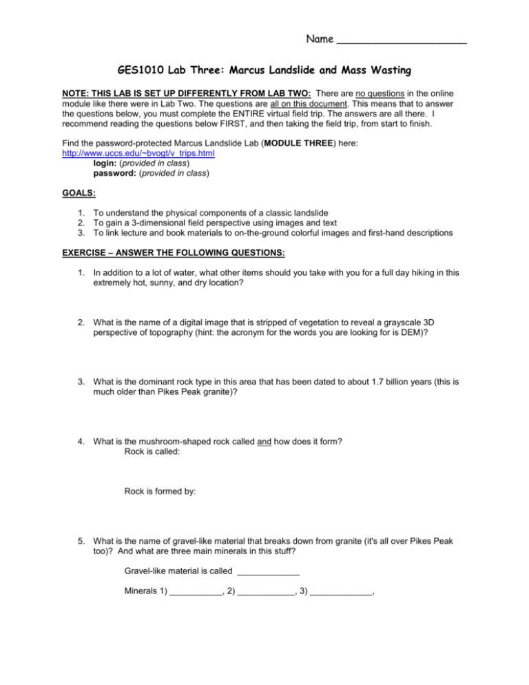
Name ____________________ GES1010 Lab Three: Marcus Landslide and Mass Wasting NOTE: THIS LAB IS SET UP DIFFERENTLY FROM LAB TWO: There are no questions in the online module like there were in Lab Two. The questions are all on this document. This means that to answer the questions below, you must complete the ENTIRE virtual field trip. The answers are all there. I recommend reading the questions below FIRST, and then taking the field trip, from start to finish. Find the password-protected Marcus Landslide Lab (MODULE THREE) here: http://www.uccs.edu/~bvogt/v_trips.html login: (provided in class) password: (provided in class) GOALS: 1. To understand the physical components of a classic landslide 2. To gain a 3-dimensional field perspective using images and text 3. To link lecture and book materials to on-the-ground colorful images and first-hand descriptions EXERCISE – ANSWER THE FOLLOWING QUESTIONS: 1. In addition to a lot of water, what other items should you take with you for a full day hiking in this extremely hot, sunny, and dry location? 2. What is the name of a digital image that is stripped of vegetation to reveal a grayscale 3D perspective of topography (hint: the acronym for the words you are looking for is DEM)? 3. What is the dominant rock type in this area that has been dated to about 1.7 billion years (this is much older than Pikes Peak granite)? 4. What is the mushroom-shaped rock called and how does it form? Rock is called: Rock is formed by: 5. What is the name of gravel-like material that breaks down from granite (it's all over Pikes Peak too)? And what are three main minerals in this stuff? Gravel-like material is called _____________ Minerals 1) ___________, 2) ____________, 3) _____________, 6. Name two ways in which water likely played a role in triggering the Marcus Landslide? a. b 7. Sketch (by hand) below the three main parts of the Marcus Landslide. Label each part. 8. What is the name of the pits or depressions in a rock in which water collects and weathers the rock (you came across these features in Lab Two as well)? 9. What material might have helped “float” the boulders down the slope during their transport in the landslide? 10. North-facing vs. south-facing weathering processes in our field area are quite distinct. Give an example of north vs. south weathering differences. 11. What is your favorite critter inhabiting the landslide area? 12. What is your favorite plant inhabiting the landslide area? 13. Rocks are heavily eroded by wind in the desert: True or False Name ____________________ 14. Is there a potential for future landslides in the McDowell Mountains? ____ (yes or no) How is this determined? 15. Name two dating methods that were used to estimate the age of the Marcus Landslide. 1) 2) 16. Is the Marcus Landslide itself mass wasting? In other words, do parts of the landslide as it exists today continue to mass waste? How? 17. What geologic feature (in one word), which is parallel to the breakaway scar of the landslide, was likely a key factor leading up to the landslide event? 18. Housing and commercial development of the community of north Scottsdale is widespread and will continue around the periphery of the landslide. How would you select a site for new home construction in this area? Stated differently, what type of natural features and topographic conditions would you AVOID? 19. How much volume (in cubic meters) do we estimate flowed off the McDowell Mountains to form the landslide? How do you make such an estimate? 20. If you see a bunch of boulders scattered across a steep slope whose fractured surfaces are oriented randomly, what can you say to prove / disprove the existence of a landslide deposit? 21. There was a very recent rockfall below “the horn.” How do we know this rockfall was indeed recent? Print, staple all pages, and bring to class next week (Oct. 6).


