Pangaea Reconstruction
advertisement
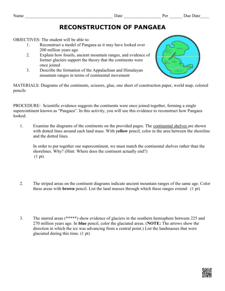
Name ________________________________________ Date _________________ Per ______ Due Date____ RECONSTRUCTION OF PANGAEA OBJECTIVES: The student will be able to: 1. Reconstruct a model of Pangaea as it may have looked over 200 million years ago 2. Explain how fossils, ancient mountain ranges, and evidence of former glaciers support the theory that the continents were once joined 3. Describe the formation of the Appalachian and Himalayan mountain ranges in terms of continental movement MATERIALS: Diagrams of the continents, scissors, glue, one sheet of construction paper, world map, colored pencils PROCEDURE: Scientific evidence suggests the continents were once joined together, forming a single supercontinent known as “Pangaea”. In this activity, you will use this evidence to reconstruct how Pangaea looked. 1. Examine the diagrams of the continents on the provided pages. The continental shelves are shown with dotted lines around each land mass. With yellow pencil, color in the area between the shoreline and the dotted lines. In order to put together our supercontinent, we must match the continental shelves rather than the shorelines. Why? (Hint: Where does the continent actually end?) (1 pt) 2. The striped areas on the continent diagrams indicate ancient mountain ranges of the same age. Color these areas with brown pencil. List the land masses through which these ranges extend: (1 pt) 3. The starred areas (*****) show evidence of glaciers in the southern hemisphere between 225 and 270 million years ago. In blue pencil, color the glaciated areas. (NOTE: The arrows show the direction in which the ice was advancing from a central point.) List the landmasses that were glaciated during this time. (1 pt) Name ________________________________________ Date _________________ Per ______ Due Date____ 4. The animal shown below is a reptile called Lystrosaurus, which lived nearly 225 million years ago. Lystrosaurus was a land animal, not adapted for swimming long distances. The footprints shown on your continent diagrams indicate where Lystrosaurus fossils have been found. Use red pencil to color the footprints on those continents. On which continents did Lystrosaurus live? (1 pt) 5. Locate the two areas of fracture zones on South America and Africa (parallel lines). Color them green. (1 pt) 6. Cut out all of the land masses along the dotted lines. Place them on the construction paper in approximately their present positions. 7. Using the clues provided (footprints, mountain ranges, glaciations, fracture zones), try to move all of the land masses together so they form one supercontinent. You may use your textbook (p. 20) to help. (Hints: Madagascar is sandwiched between India and Africa; and don’t forget the arrows show glacial advance direction.) (3 pts) 8. Once your teacher is satisfied with your arrangement, glue the continents to the construction paper. 9. Asia has been left off your map in order to save space. Label on your map where Asia would be located. (1 pt) 10. Label your map Pangaea. Next label the northern section of Pangaea Laurussia and the southern section Gondwanaland. (2 pts) 11. At the bottom of the construction paper, make a key that explains the meaning of each color used. (1 pt) Name ________________________________________ Date _________________ Per ______ Due Date____ Analysis Questions Respond to the following regarding your Pangaea reconstruction. (1 pt each): 1. Which two land masses seem to fit together best? ____________________________________________________________________ 2. How might you explain why other land masses do not fit together so well? 3. Looking at the Gondwanaland portion of the supercontinent, where do you think the central starting point of glaciation was located? (That is, where was the South Pole at that time?) Draw a star at that point and label it South Pole. 4. How can you explain the fact that Lystrosaurus fossils can be found on separate continents that today are so far apart? 5. How do the locations of ancient mountain ranges on your map provide evidence that the continents have moved since Pangaea was together? 6. What continents must have collided to form the Appalachian Mountains? 7. In your Pangaea, India is far away from its current location. Utilizing the continental drift theory, describe how the Himalayan Mountains could have formed. _________________________________________________________________________________ 8. What five features shown on your map provide evidence that Pangaea once existed? _________________________________________________________________________________ Name ________________________________________ Date _________________ Per ______ Due Date____ Name ________________________________________ Date _________________ Per ______ Due Date____
