Natural & Beneficial Functions - The Association of State Floodplain
advertisement
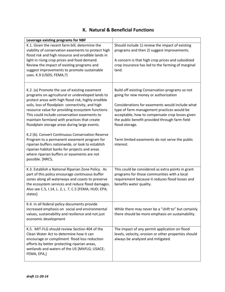
K. Natural & Beneficial Functions Leverage existing programs for NBF K.1. Given the recent farm bill, determine the viability of conservation easements to protect high flood risk and high resource and erodible lands in light in rising crop prices and food demand. Review the impact of existing programs and suggest improvements to promote sustainable uses. K.9 (USDS; FEMA;?) K.2. (a) Promote the use of existing easement programs on agricultural or undeveloped lands to protect areas with high flood risk, highly erodible soils, loss of floodplain connectivity, and high resource value for providing ecosystem functions. This could include conservation easements to maintain farmland with practices that create floodplain storage areas during large events. K.2 (b). Convert Continuous Conservation Reserve Program to a permanent easement program for riparian buffers nationwide, or look to establish riparian habitat banks for projects and areas where riparian buffers or easements are not possible. [NRCS, K.3. Establish a National Riparian Zone Policy. As part of this policy encourage continuous buffer zones along all waterways and coasts to preserve the ecosystem services and reduce flood damages. Also see C.5, I.14, L. 2, L. 7, C.5 [FEMA; HUD; EPA; states] K.4. In all federal policy documents provide increased emphasis on social and environmental values, sustainability and resilience and not just economic development K.5. MIT-FLG should review Section 404 of the Clean Water Act to determine how it can encourage or compliment flood loss reduction efforts by better protecting riparian areas, wetlands and waters of the US [MitFLG; USACE; FEMA; EPA,] draft 11-20-14 Should include 1) review the impact of existing programs and then 2) suggest improvements. A concern is that high crop prices and subsidized crop insurance has led to the farming of marginal land. Build off existing Conservation programs so not going for new money or authorization Considerations for easements would include what type of farm management practices would be acceptable, how to compensate crop losses given the public benefit provided through farm field flood storage. Term limited easements do not serve the public interest. This could be considered as extra points in grant programs for those communities with a local requirement because it reduces flood losses and benefits water quality. While there may never be a “shift to” but certainly there should be more emphasis on sustainability. The impact of any permit application on flood levels, velocity, erosion or other properties should always be analyzed and mitigated. New or expanded approaches K.6. Establish and fund a permanent Environmental Restoration Program within the Corps, not tied to Section 1135, for Corps project to restore habitat and watersheds throughout the nation. Projects should have a total construction cost of not more than $50 million and an annual budget of not less than $1 Billion. K.7. Expand the Coastal and Estuarine Land Conservation Program (NOAA) to include critical non-coastal riparian habitat. Expand the funding to recognize the importance of maintaining coastal and riverine riparian habitat and providing buffers for climate change. K.8. (a) States and local communities should require building setbacks to provide natural buffers on all streams and coasts to protect water quality, flood storage, ecosystem services and development outside of the buffers. [States, MitFLG] K.8. (b) Encourage continuous buffer zones along all waterways and coasts Also see L. 2, L. 7 [FEMA; HUD; EPA] K.9. FEMA, communities and states should prohibit fill in all SFHAs to protect the natural and beneficial functions of floodplains, including storage, or determine a way to provide an incentive to communities that adopt this higher measure. [FEMA, communities, states] K.10. Where listed species or their habitat is present an environmental assessment should be required for all floodplain permits, or local standards should meet the requirements of the relevant biological opinion. [FEMA, states] K.11. FEMA should map erosion zones and work with its state and local partners to create regulations for those erosion zones to protect development from highly erosive areas including channel migration zones adjacent to rivers or streams and erosion areas along coastlines, and maintain high quality habitat. [FEMA, states, NGOs] draft 11-20-14 Yes, it goes beyond 1135, which is only existing projects. Should be standing authority for restoration, perhaps with $20 M cap. The Corps is the agency that does projects so they should be the ones doing the work. (LA River) Or, should this be a grant program run out of NOAA? This is the rare program at the federal level dedicated to acquiring and preserving land. There may be other grant programs for endangered species, etc. LL—what about LAWCON? Buffers are one of the most effective means to protect both water quality and habitat and to reduce flood damages and flood insurance costs. Some states have buffers in Shoreland mgt programs. Often we see grading right to the apex of the bank and the subsequent failure of the previously stable bank. Fed programs can incentivize this in mitigation grant process by extra points because it reduces flood losses and protects water quality and habitat and future disaster costs Fill is beneficial to the person doing the filling, but can increase flood risk for others. This recommendation is a basic NAI concept and it is credited in CRS. The application of ESA to the NFIP is being refined by the courts, and FEMA and National Marine Fisheries are collaborating on implementation of appropriate measures where endangered species exist. This mapping has been done by State or local jurisdictions to a standard that should be accepted by FEMA as the official map. See Vermont model for mapping Not only are these areas risky for development, but frequently provide some of the most valuable habitat within the watershed K.12. Increase the CRS minimum points required in elements that credit natural floodplain functions for CRS class 4 and 1 communities. [FEMA] More emphasis on NBF reduces hazards, promotes many other beneficial functions and services, and the current requirements are too low to be effective. Evaluation of programs and Studies K.13. Require communities to catalog and annually See Charlotte-Mecklenburg studies that provide a report the location and amount of all fills within model of how much impact such fill has on flood the SFHA to determine the impact on flood storage levels and ecosystem services and to identify if offsetting storage has been created. [FEMA; States] K.14 Require that funding and regulatory decisions to armor shorelines, stream banks or lakeshores include an evaluation and assignment of long-term costs to mitigate the adverse impacts of armoring, including erosion, scour and habitat as well as the long term cost of Operation and maintenance. see also L.4 There is great importance in maintaining and enhancing NBF and how NBF is a critical part of overall sustainable flood risk reduction K.15. Initiate a national study on environmental degradation that results from water resources development and the impact of that degradation on the economy [NSF; MitFLG; NAS] The intent is to analyze the LOSS of water resources and riverine/coastal ecosystems that has occurred over the last century, and what impact that has on ecosystems, added flooding and quality of life K.16. Collaborate to identify ecosystem function in conjunction with flood mapping and to integrate/create/enhance those functions in managing flood risk. [MitFLG; FEMA; EPA, FWS, NWI, USGS] For example, groundwater recharge areas may not show up as a mapped “resource”, but certainly they provide a function that we’d want mapped and protected. See Vermont model for mapping K. 17. Perform a study to determine the impacts of floodplain fill since the inception of the NFIP has had on flood levels and ecosystem services? (There may be a tie with mapping here if they also want to propose) [FEMA, NSF; academia] This would inform how to treat fill in the NFIP or State FPM programs, and should include examples of how various states/communities deal with this issue. draft 11-20-14 The preference should be to not armor the site except in extremely rare instances
