Projected Wave Climate along San Francisco Outer Coast
advertisement
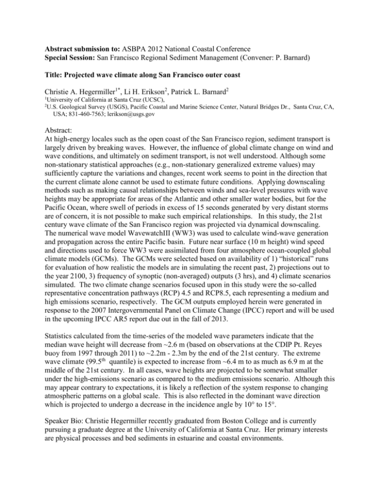
Abstract submission to: ASBPA 2012 National Coastal Conference Special Session: San Francisco Regional Sediment Management (Convener: P. Barnard) Title: Projected wave climate along San Francisco outer coast Christie A. Hegermiller1*, Li H. Erikson2, Patrick L. Barnard2 1 2 University of California at Santa Cruz (UCSC), U.S. Geological Survey (USGS), Pacific Coastal and Marine Science Center, Natural Bridges Dr., Santa Cruz, CA, USA; 831-460-7563; lerikson@usgs.gov Abstract: At high-energy locales such as the open coast of the San Francisco region, sediment transport is largely driven by breaking waves. However, the influence of global climate change on wind and wave conditions, and ultimately on sediment transport, is not well understood. Although some non-stationary statistical approaches (e.g., non-stationary generalized extreme values) may sufficiently capture the variations and changes, recent work seems to point in the direction that the current climate alone cannot be used to estimate future conditions. Applying downscaling methods such as making causal relationships between winds and sea-level pressures with wave heights may be appropriate for areas of the Atlantic and other smaller water bodies, but for the Pacific Ocean, where swell of periods in excess of 15 seconds generated by very distant storms are of concern, it is not possible to make such empirical relationships. In this study, the 21st century wave climate of the San Francisco region was projected via dynamical downscaling. The numerical wave model WavewatchIII (WW3) was used to calculate wind-wave generation and propagation across the entire Pacific basin. Future near surface (10 m height) wind speed and directions used to force WW3 were assimilated from four atmosphere ocean-coupled global climate models (GCMs). The GCMs were selected based on availability of 1) “historical” runs for evaluation of how realistic the models are in simulating the recent past, 2) projections out to the year 2100, 3) frequency of synoptic (non-averaged) outputs (3 hrs), and 4) climate scenarios simulated. The two climate change scenarios focused upon in this study were the so-called representative concentration pathways (RCP) 4.5 and RCP8.5, each representing a medium and high emissions scenario, respectively. The GCM outputs employed herein were generated in response to the 2007 Intergovernmental Panel on Climate Change (IPCC) report and will be used in the upcoming IPCC AR5 report due out in the fall of 2013. Statistics calculated from the time-series of the modeled wave parameters indicate that the median wave height will decrease from ~2.6 m (based on observations at the CDIP Pt. Reyes buoy from 1997 through 2011) to ~2.2m - 2.3m by the end of the 21st century. The extreme wave climate (99.5th quantile) is expected to increase from ~6.4 m to as much as 6.9 m at the middle of the 21st century. In all cases, wave heights are projected to be somewhat smaller under the high-emissions scenario as compared to the medium emissions scenario. Although this may appear contrary to expectations, it is likely a reflection of the system response to changing atmospheric patterns on a global scale. This is also reflected in the dominant wave direction which is projected to undergo a decrease in the incidence angle by 10° to 15°. Speaker Bio: Christie Hegermiller recently graduated from Boston College and is currently pursuing a graduate degree at the University of California at Santa Cruz. Her primary interests are physical processes and bed sediments in estuarine and coastal environments.


