Notice of Intent to Construct a Minor Silvicultural System
advertisement
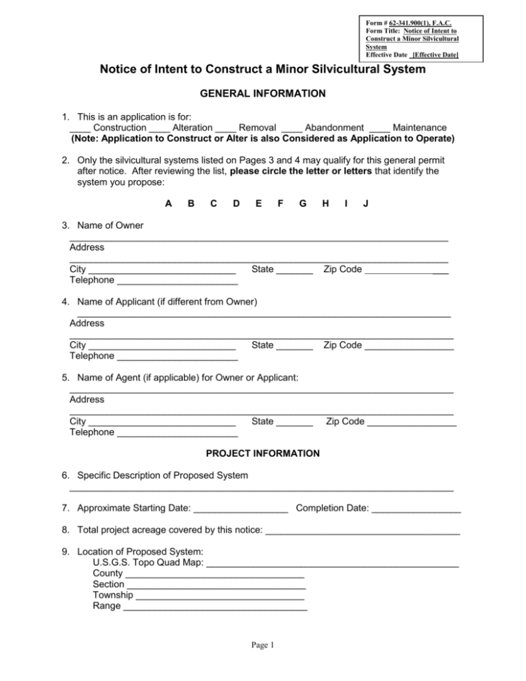
Form # 62-341.900(1), F.A.C. Form Title: Notice of Intent to Construct a Minor Silvicultural System Effective Date [Effective Date] Notice of Intent to Construct a Minor Silvicultural System GENERAL INFORMATION 1. This is an application is for: ____ Construction ____ Alteration ____ Removal ____ Abandonment ____ Maintenance (Note: Application to Construct or Alter is also Considered as Application to Operate) 2. Only the silvicultural systems listed on Pages 3 and 4 may qualify for this general permit after notice. After reviewing the list, please circle the letter or letters that identify the system you propose: A B C D E F G H I J 3. Name of Owner ________________________________________________________________________ Address ________________________________________________________________________ City ____________________________ State _______ Zip Code ___ Telephone _______________________ 4. Name of Applicant (if different from Owner) _______________________________________________________________________ Address _________________________________________________________________________ City ____________________________ State _______ Zip Code _________________ Telephone _______________________ 5. Name of Agent (if applicable) for Owner or Applicant: _________________________________________________________________________ Address _________________________________________________________________________ City ____________________________ State _______ Zip Code _________________ Telephone _______________________ PROJECT INFORMATION 6. Specific Description of Proposed System _________________________________________________________________________ 7. Approximate Starting Date: __________________ Completion Date: _________________ 8. Total project acreage covered by this notice: _____________________________________ 9. Location of Proposed System: U.S.G.S. Topo Quad Map: ________________________________________________ County __________________________________ Section __________________________________ Township ________________________________ Range ___________________________________ Page 1 Name(s) of Water Course, Water Body, or Wetlands Affected by Project: ____________________________________________________________________ If A, B, or C was circled above, please list each letter circled, Below, and then provide the corresponding size, in square miles, of the respective upstream watershed area _____________________________________________________________________ 10. Please list any related permit application numbers:________________________________ ________________________________________________________________________ OTHER INFORMATION Please submit an 8 ½ inch X 11 inch detailed location map containing enough information for someone who has general familiarity with the area to locate the site. A copy of Chapter 62-341, F.A.C., is available from the Department. A Department permit does not relieve a permittee from obtaining necessary approvals of any unit of local, state, or federal government. CERTIFICATION I have full knowledge of, and will comply with the requirements of Chapter 62-341, F.A.C. I understand that a noticed general permit is available only under limited circumstances as set forth in Chapter 62-341, F.A.C., and that permittees are required to comply with all general conditions listed in Section 62-341.215, F.A.C. ___________________________________________________________________________ Name of Applicant or Applicant’s Agent ___________________________________________________________________________ Signature of Applicant or Applicant’s Agent* Date *Signing by someone other than the owner is also certification that the person is authorized to act as the owner’s agent. Please send a fully executed original, plus two copies, of this Notice to the local office of the Department with responsibility for the geographic area in which the project is located, as reflected in Attachment 1. 2 QUALIFYING SYSTEMS The following is the list of systems which may qualify for the noticed general permit for minor silvicultural surface water management systems described in Section 62-341.500, F.A.C.: A. A permanent culverted fill road with a road surface of 28 feet or less in width placed in or crossing a stream or other watercourse of less than ten (10) cubic feet per second average discharge at the location of the work or with a drainage area upstream of the work of less than ten (10) square miles. The design of the work must allow for conveyance of normal flows and for overtopping during large storm events, and any fill placed in wetlands associated with the stream or watercourse must be less than one-half (1/2) acre in area. Under this paragraph, the fill material shall be no more than twenty-four (24) inches above culvert structures. The fill material on the road approaches shall be no more than twenty-four (24) inches above grade, except within an area of one hundred (100) feet from either side of a culvert. The road must be designed with culvert inlets positioned at or below the natural grade of the bed of the stream or other watercourse to prevent the permanent impoundment of water, and to provide an overflow area or areas which will prevent erosion and adverse effects to water levels upstream and downstream of the road. B. A temporary culverted fill road or a temporary bridge up to 50 feet long, with a road surface of twenty-eight (28) feet or less in width placed in or crossing a stream or other watercourse of less than ten (10) cubic feet per second average discharge at the location of the work or a drainage area upstream of the work of less than ten (10) square miles. The design of the work must allow for conveyance of existing flow during the period of use and any fill placed in wetlands associated with the stream or other watercourse must be less than one-half (1/2) acre in area. The work must be designed only to facilitate the temporary movement of equipment and must be removed immediately after the operation for which the crossing was needed is complete or within thirty (30) months of the filing of the Notice of Intent, whichever is sooner. C. A permanent bridge up to one hundred (100) feet in length and twenty-eight (28) feet or less in width supported on pilings or trestles, placed in or crossing a stream or other watercourse of less than ten (10) cubic feet per second average discharge at the location of the work or with a drainage area upstream of the work of less than ten (10) square miles. The design of the work and associated approach roads, if any, must allow for conveyance of normal flows and for overtopping during large storm events and any fill placed in wetlands associated with the stream or other watercourse must be less than one-half (1/2) acre in area. The height limitation for fill on the bridge approach roads shall be a maximum of twenty-four (24) inches above natural grade. D. A permanent culverted fill road or bridge with a road surface of twenty-eight (28) feet or less in width, placed in or crossing a wetland or other impoundment, excluding reservoirs created by dams, where the road surface area over the wetland or other impoundment is less than one half (1/2) acre. Such crossings are not authorized when the landowner can construct a road which avoids filling in wetlands. Such crossings must be located in a manner which minimizes the area of wetlands being filled. Fill material for crossings of isolated wetlands or other isolated impoundments may be excavated from the wetland being crossed provided that all excavation takes place immediately adjacent to the road surface and that the excavated area consists only of narrow trenches which are not connected to ditches constructed or maintained for drainage purposes. In addition, such excavations shall not result in drainage from the wetland. Page 3 E. Temporary stream channel diversions necessary to complete the works described in paragraphs A, B, or C above, provided that the area used for the temporary diversion is restored to its previous contours and elevations. F. Clearing and snagging in a stream or other watercourse within fifty (50) feet of the center line of a culverted fill road or a bridge described in paragraphs A, B, or C above, necessary to construct said work. G. A permanent low water, hard surfaced crossing in a stream, other watercourse, wetland or other impoundment consisting of the placement of rock or similar material no more than twelve (12) inches higher than the bed of the stream, other watercourse or impoundment. Such crossings must be designed only to facilitate the movement of equipment by creating a stable foundation in shall streams, other watercourses, wetlands or other impoundments. Temporary low water, hard surfaced crossings may be constructed using logs, but must be removed immediately following the completion of the silvicultural operation or within thirty (30) months of the filing of the Notice of Intent, whichever is sooner. H. Upland field ditches of a temporary nature to facilitate only harvesting, site preparation, and planting, with a maximum cross-sectional area of eighteen (18) square feet spaced no closer than six hundred and sixty (660) feet from any other parallel ditch. After seedling establishment, the ditches shall be allowed to revegetate naturally. The permittee will not be required to fill field ditches after seedling establishment. I. Above grade, unpaved, upland silvicultural roads with an average road surface width of twenty-eight (28) feet or less within a construction corridor up to fifty (50) feet in width. These roads must also incorporate sufficient culverts at grade to prevent alteration of natural sheet flow and may have associated borrow ditches. Road ditches shall be constructed only to obtain road material for the associated road and to provide only enough storage to maintain a dry road surface. Such road ditches must not provide drainage to the tract adjoining the road, other than to provide drainage of the road surface and minor, incidental drainage of abutting lands. These road ditches may be connected to other roadside ditches there were constructed pursuant to this section (or, in the case of activities within the St. Johns River Water Management District, pursuant to chapter 40C-43, F.A.C., adopted October 11, 1987), but must not connect directly or indirectly to any works onsite or off-site which are designed or constructed to provide drainage or conveyance or which result in drainage or conveyance. Road ditches must be separated from wetlands and other surface waters by a buffer strip of indigenous ground cover and a water turnout prior to said buffer strip. However, road ditches may discharge directly to a wetland when the slope of the uplands within one thousand (1000) feet of the edge of the wetland is equal to or less than two (2) percent, provided the ditch does not result in drainage of the wetlands and provided that the ditch does not create a hydrologic connection between two or more wetlands. The width of the buffer strip shall be no less than thirty-five (35) feet, or fifty (50) feet when located adjacent to an Outstanding Florida Water, an Outstanding National Resource Water, or Class I waters. J. Upland borrow areas needed to obtain fill material for crossings authorized by this noticed general permit of streams, other watercourses, wetlands and other impoundments. These upland borrow areas must not provide drainage and must not by hydrological connected to roadside ditches or field ditches. 4 1: ADD Section 4 of Joint Application 5
