Land-surface Heterogeneity in Tornado Climatology? An
advertisement
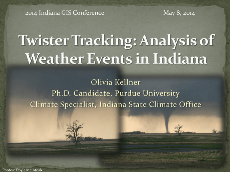
2014 Indiana GIS Conference May 8, 2014 Olivia Kellner Ph.D. Candidate, Purdue University Climate Specialist, Indiana State Climate Office Photos: Doyle McIntosh Presentation Outline: Founding science and hypothesis Data Climatology Methods Findings http://www.crh.noaa.gov/ilx/event s/may302004/040530_rpts.gif Geospatial Analysis Methods Maps Findings Conclusions http://www.srh.noaa.gov/ohx/?n=april319 74_40thanniversary Kellner, O. and D. Niyogi, 2013, Land-surface Heterogeneity Signature in Tornado Climatology? An Illustrative Analysis over Indiana 1950-2012, Earth Interactions, e-view, doi: http://dx.doi.org/10/1175/2013EI000548.1. http://www.angelfire.com/theforce/storm_chasingf5/Historical%2 0and%20Major%20Tornado%20Outbreaks%20the%20one.htm Founding science: Land-surface heterogeneity: where the land cover or land use is not uniform across an area Leads to a heterogeneous boundary layer in terms of temperature, dew points, vertical velocities, and winds Can these surface discontinuities modify the boundary layer enough to impact storm dynamics and evolution? Mahmood et al., 2011 Fig. 5. Inner domain average modeled (a) relative humidity, (b) dew point temperature, (c) ground temperature, (d) two-meter temperature, and (e) planetary boundary layer height for control, bare soil, grassland, and forest. Mahfouf et al., 1987 From Brown and Arnold, 1998: Figure 6. Spatial distribution for all convective cloud masses(dots, both initial and vertically enhanced) for 34 weak synoptic flow days, July–August, 1986–1991, in the aggregate. From Changnon et al., 1991 Journal of Applied Meteorology From Brown and McCann, 2004 Indiana’s land surface, rich with physiographic boundaries, land-surface heterogeneity, topography, and distinct, isolated urban regions may influence the evolution of convective weather (specifically tornado touchdown locations). http://media.wfyi.org/NaturalHeritage/learn/regions.html https://ou-gisapplications.wikispaces.com/Indiana+Land+Use http://pubs.usgs.gov/of/2004/1451/rupp/ Climatology Geospatial Data Storm Prediction Center SPC SVRGIS webpage: (SPC) Storm reports, available in their Severe Weather Database Files Inclusive of Date Time Touchdown in lat/long County F-scale Injuries Fatalities http://www.spc.noaa.gov/gis/svr gis/ Tornado touchdown points States Cities Counties Population Density (2010 raster file, density per square kilometer) Land cover: U.S.G.S Enhanced Historical Land-use and Landcover Data sets DEM: Ball State University Implementation of .csv files of storm data into Excel Sort data by: Date Time F-scale Compute tornado days and climatological data by parameters investigated Month Year F-scale Weak (F0-F1) and Strong (F2-F5) Increase/decrease in annual tornado days Also investigated antecedent rainfall at 1, 3, and 6 month periods and ENSO phase to annual number of tornado days Most active time of day weak tornadoes: 4-7pm LST; strong tornadoes: 2-4pm and 5-8pm LST; all tornadoes 4-8pm LST Majority of Indiana’s tornadoes are weak tornadoes (50%) 30-year moving averages show no increase or decrease in annual tornado days 30-year moving averages by climate division show an increase in annual tornado days in southern most climate divisions from 1 day a year to 3 days a year ENSO: rate at which ENSO changes phase appears to relate to more active seasons in Indiana Weak relationship between 6month antecedent drought conditions and number of tornado days This shift is a result of the windshear environment more common with strong tornadoes Dr. T. T. Fujita, University of Chicago Spatial analyst tools: Kernel density Map algebra Slope calculator Conversion tools Analysis tools: Buffer “Select features within” Changes in elevation Change in slope of 5 degrees or more over a distance of ~100 meters Change in land cover 6 classes Forest Urban Agriculture Barren Wetlands/water bodies Range land Urban areas City centroids Urban area shapefiles Population density People per square kilometer Is this happening here in Indiana? http://pubs.usgs.gov/of/2004/1451/rupp/ http://jasonahsenmacher.wordpress.com/category/terrain/ ~9 miles ~1 mile Tornado “rings” ? ~Noted by Fujita in other cities such as Chicago in early 1970s Percentage of Total Tornadoes 1950-2012 (1285 total) within 1-4 km of Different 2010 Population Density Classes (People/km2) Class Class Range: 1 km 2 km 3 km 4 km Class 2 238-847 39 51 60 67 Class 3 848-1,779 24 30 35 41 Class 4 1,780-3,309 10 13 16 19 Class 5 3,310-6,497 1 2 3 4 Class 6 6,498-13,879 0 0 0 1 -0.79 -0.79 -0.80 Correlation: -0.80 An indirect relationship: higher percentage of tornado touchdown points in land area with lower populations However, the spatial distribution close to major cities towns suggest a population bias… Spatially different patterns -> La Niña more concentrated touchdown locations In terms of climatology, no year has a greater risk for more tornadoes Transition between phases appears to contribute to active and less active tornado years Several land surface Meteorology & climatology are very cartographically intensive sciences (forecasters constantly look at & analyze maps)! Sadly, a gap between those that know meteorology & the benefits of geospatial analysis is present Indiana tornado days have not increased or decreased through time Note that tornado days are not the same as tornadoes! Any given day can have 1 – 20+ tornadoes relationships may be occurring topography physiographic regions land use : 42 % & 64% touched down within 1 km of forest & urban land areas, respectively All tornadoes: 43% & 61% touched down within 1 km of forest and urban, respectively Supports land-surface heterogeneity hypotheses: Boundaries of temperature, dewpoints, CAPE, vertical velocities , & surface roughness when transitioning from one land use to another Thank you! - Questions?!?! Special thanks to Dr. David L. Arnold & Tim Samaras for inspiration and devotion to novel, challenging research seeking to unravel the unsolved mysteries of severe weather & tornadoes NWS Indianapolis for continued support Dev Niyogi & the Indiana State Climate Office Email: okellner@purdue.edu
