Adaptation to Climate Change for Vulnerable Coastal Communities
advertisement
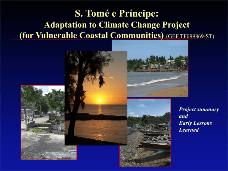
S. Tomé e Príncipe: Adaptation to Climate Change Project (for Vulnerable Coastal Communities) (GEF TF099869-ST) Project summary and Early Lessons Learned Location of the Islands Location of the Islands Justification- In general, it is expected that climate change in São Tomé e Príncipe will have the following effects: • • A rise in temperature of 1-2 C by2050 Drier seasons in March-May • Increased precipitation during September-November • Stronger winds in DecemberFebruary, and potentially more fog, reducing the visibility to the fishermen (who navigate by sight) Median increase in precipitation projected for 20402060 (mm/month) in September –November Canoes park Artisanal fisherman during fisheries Heavy rain followed by floods Impacts of coastal erorion Impacts of coastal erosion Impacts of coastal erosion The Project is part of a broader National Adaptation Program which includes several partners Components financed by the Project (GEF/LDCF/ World Bank) Component D: Program Management a Component B: Adaptation for Vulnerable Coastal Communities Componente A: Adaptation For Inland Communities Componente C: Capacity Reinforced Components financed by UNDP/Japan/ LDCF European Union Project (FED) for Coastal Protection Government Projects Location of Pilot Communities The Early Warning and Safety at Sea component is national in scale. The Protection of Vulnerable Communities focuses on 4 pilot communities: Ribeira Afonso, Santa Catarina, Malanza e Sundy S. Tomé e Príncipe: Project GEF: Adaptation to Climate Change – Coastal Areas Objective: To increase the adaptive capacity of vulnerable coastal communties in São Tome e Príncipe to the adverse impacts of climate change and variability The Project has three components: 1. Coastal Early Warning System and Safety at Sea (US$1.9 M) 1.1 System of Early Warning 1.2 Safety at Sea for Artisanal Fishers 2. Coastal Protecction for Vulnerable Communities (US$1.8 M) 2.1 Community Preparedness 2.2 Coastal Protection for Vulnerable Communities 2.3 Coastal Policy The project was signed in 20 June 2011 3. Project Management (US$0.4 M) Total US$4.1 million Selected Results to Date (at 1.3 years of implementation) Early Warning System Expected Results (at end of project): At least 75% of fishers have access to 12 hour weather forecast during the fog/storm season Results to Date: 1. An Agreement Protocol for Early Warning specifying the roles of the different agencies was signed between Met Department, DG of Environment, CONPREC (Disaster Management Agency), Port Authority, Coast Guard and MARAPA The protocol is very simple (3 pages) and took only a few weeks to finalize and sign Selected Results to Date (at 1.3 years of implementation) Early Warning System Results to Date: 1. An assessment mission in collaboration with UK-Met Department is arriving shortly to assess viability and specifications for a potential Doppler radar 1. Procurement of a marine meterological station has started 2. All equipment is being assessed carefully to ensure sustainability Component 1.2 Safety at Sea for Artisanal Coastal Fishermen 1.1 Basic Safety at Sea equipment procured: 1.1 1.2 1.3 1.4. 1.5 Radar reflectors for canoes Life saving vests Rain jackets Waterproof bags for mobile phones Basic navigation equipment 2. MARAPA (Specialized NGO) about to start training in safety at sea for about 485 fishermen 3. Disaster Management Committee (CONPREC) formed 11 climate risk management committees in Sao Tome and 3 in Principe 4. Training of community committees is ongoing Contribuicao GEF: US$0.33 M Component 1.2 Examples of Immediate Results for Community Risk Management Committees 1. Clogged canal (in Ribeira Afonso) has been cleaned voluntarily by the committee after the last visit 2. Very vulnerable households (photos right in Malanza and Praia Melao) threatened by the sea were identified and Government alerted to provide immediate help Component 2: Coastal Protection for Vulnerable Communtities Indicadors Participatory vulnerability plans developed and adopted River and coastal flood protection works and soft adaptation measures Number of community-based activities supported 1. A detailed geomorphological and social study has been completed, identifying priority adaptation interventions 2. A manual for community participation procedures is near completion 3. Participatory vulnerability mapping is being completed 4. Detailed engineering designs being done for structural works Component 2: Coastal Protection for Vulnerable Communtities 1. Detailed engineering designs being done for structural works Component 2: Roof Print Maps shows a very significant coastline loss in Malanza (south of Sao Tome). The slope is very shallow and may be helped by revegetation and beach nourishment. alll Next Steps - Overlay projected future changes in coastline under sea level rise and future climate change Continue participatory discussions with communities and local district governments to help plan better for the future - Implement pilot adaptation activities - Over the long term, government to place location of social and economic infrastructure in lower risk areas.... - ...thus gradually attracting settlement expansion away from areas of high risk... This interactive, participatory planning is expected to lead to transformational adaptation Thank you very much for listening

