Presentation - 15th TRB National Transportation Planning
advertisement
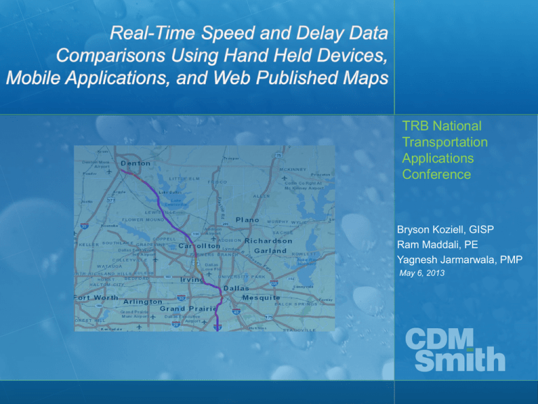
TRB National Transportation Applications Conference Bryson Koziell, GISP Ram Maddali, PE Yagnesh Jarmarwala, PMP May 6, 2013 Technology is Evolving Rapidly… • GIS and Mobile Applications Capabilities Growing • Feed Data to “Any” Device in Any Location • Collect Data and Analyze in GIS • Key Tools to Support Travel Demand Modeling TRB National Transportation Planning Applications Conference This Evolution Opens Up New Opportunities… Beyond Mapping • • • • • Real-Time Data Collection Historical and current data availability Enhanced Data Display and Analysis Feed models Planning – Population – Workforce Statistics TRB National Transportation Planning Applications Conference Hardware Trends Supporting Data Collection • Many New Devices – GPS Receivers, Trimble Yuma – iPad, iPad Mini, iPhone applications – Ruggedized Field Computers – Smart Phones • Choose Your Weapon Carefully – Considerations: Users, Field Conditions, GPS Accuracy TRB National Transportation Planning Applications Conference Applications Supporting Traffic Data Collection • ArcGIS Online – Maps and Applications – World Traffic Service – Store and Collect Data – Use on any platform TRB National Transportation Planning Applications Conference Applications Supporting Traffic Data Collection • Bing • Google • Waze TRB National Transportation Planning Applications Conference Data Sources Supporting Traffic Data Collection • INRIX – Historic Traffic Data – .csv format – Easily converted into GIS • Waze – Data collected by users – Current traffic conditions TRB National Transportation Planning Applications Conference Case Study – Dallas Texas • Mobile Application Used to Collect Traffic Data – Drivers sent out in intervals • Traffic Data Fed to GIS • GIS Used to Analyze and Display • Results Compared – INRIX – Google • Field data compared to model results TRB National Transportation Planning Applications Conference Case Study – Dallas Texas • Mobile Application Used to Collect Traffic Data – Drivers sent out in intervals • Traffic Data Fed to GIS • GIS Used to Analyze and Display • Results Compared – INRIX – Google • Field data compared to model results TRB National Transportation Planning Applications Conference Case Study – Dallas Texas Data Comparison • Google – May 9, 2012, 8:00 AM TRB National Transportation Planning Applications Conference Case Study – Dallas Texas Data Comparison • INRIX – May 9, 2012, 8:00 AM TRB National Transportation Planning Applications Conference Case Study – Dallas Texas Data Comparison • CDM Smith Application – May 9, 2012, 8:00 AM TRB National Transportation Planning Applications Conference Advantages/Disadvantages of Different Data Collection Methods • Google/Bing • Historical Data • ArcGIS Online • “Out of Box” and Custom Applications TRB National Transportation Planning Applications Conference Comments and Opinions • Typically “Small Investment, High Return”. • This is Not Rocket Science • Base GIS Software Has These Capabilities • Leverage GIS to Enhance Model Accuracy TRB National Transportation Planning Applications Conference Questions and Contact Contacts: Bryson Koziell, GISP Group Leader/Project Manager Koziellbj@cdmsmith.com Ram Maddali, P.E., Project Manager maddalirs@cdmsmith.com Yagnesh Jarmarwala, PMP, Project Manager jarmarwalaym@cdmsmith.com TRB National Transportation Planning Applications Conference Speed and delay data collection planning TRB National Transportation Planning Applications Conference
