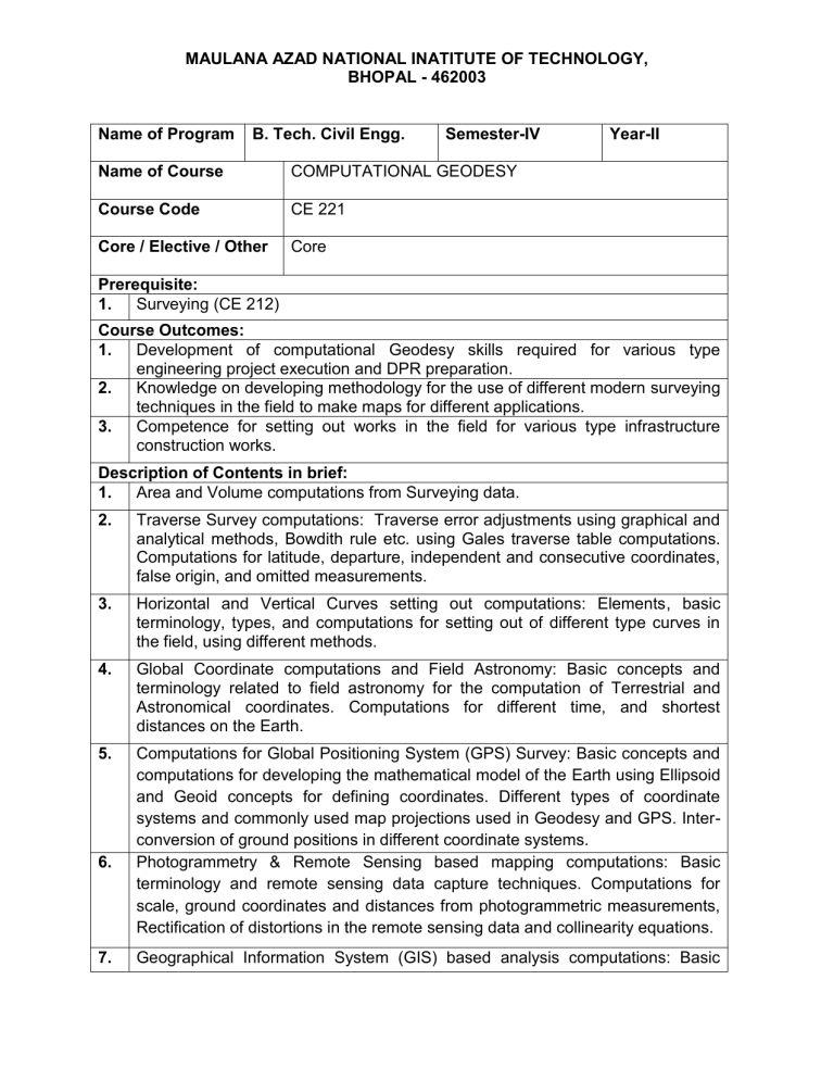
MAULANA AZAD NATIONAL INATITUTE OF TECHNOLOGY, BHOPAL - 462003 Name of Program B. Tech. Civil Engg. Semester-IV Name of Course COMPUTATIONAL GEODESY Course Code CE 221 Core / Elective / Other Core Year-II Prerequisite: 1. Surveying (CE 212) Course Outcomes: 1. Development of computational Geodesy skills required for various type engineering project execution and DPR preparation. 2. Knowledge on developing methodology for the use of different modern surveying techniques in the field to make maps for different applications. 3. Competence for setting out works in the field for various type infrastructure construction works. Description of Contents in brief: 1. Area and Volume computations from Surveying data. 2. Traverse Survey computations: Traverse error adjustments using graphical and analytical methods, Bowdith rule etc. using Gales traverse table computations. Computations for latitude, departure, independent and consecutive coordinates, false origin, and omitted measurements. 3. Horizontal and Vertical Curves setting out computations: Elements, basic terminology, types, and computations for setting out of different type curves in the field, using different methods. 4. Global Coordinate computations and Field Astronomy: Basic concepts and terminology related to field astronomy for the computation of Terrestrial and Astronomical coordinates. Computations for different time, and shortest distances on the Earth. 5. Computations for Global Positioning System (GPS) Survey: Basic concepts and computations for developing the mathematical model of the Earth using Ellipsoid and Geoid concepts for defining coordinates. Different types of coordinate systems and commonly used map projections used in Geodesy and GPS. Interconversion of ground positions in different coordinate systems. Photogrammetry & Remote Sensing based mapping computations: Basic terminology and remote sensing data capture techniques. Computations for scale, ground coordinates and distances from photogrammetric measurements, Rectification of distortions in the remote sensing data and collinearity equations. 6. 7. Geographical Information System (GIS) based analysis computations: Basic MAULANA AZAD NATIONAL INATITUTE OF TECHNOLOGY, BHOPAL - 462003 terminology, components, and data models in GIS. Generation of digital terrain model (DTM), digital surface model (DSM) and digital elevation model (DEM) from different sources of surveying data. Extraction of thematic map, drainage pattern and contours from DEM data using Remote Sensing & GIS software. Commonly used Geospatial Analysis tools in GIS for various applications in Civil Engineering. 8. Commercial and open source data and computational software in Geodesy. List of Text Books: 1. Surveying and Leveling-Part-I & II, T. P. Kanetkar and S. V. Kulkarni, Pune Vidhyarthi Griha Prakashan 2. Remote Sensing and image interpretation, Lillesand T.M. and Kiefer R. W., Willey publications 3. Advanced Surveying, A. M. Chandra., New Age International Publishers, New Delhi 4. Engineering Surveying: Theory and Examination Problems for Students, W. Schofield. Butterworth-Heinemann List of Reference Books: 1. GPS for Land Surveyors, Jan Van Sickle, CRC Press, Taylor, and Francis group 2. 3. 4. Introduction to Surveying, Michael Minchin, Department of Training, Government of Western Australia Surveying Principles and Application, B.F. Kavanagh and S.J.G. Bird, Prentice Hall Elements of Photogrammetry- Paul R. Wolf, McGraw-Hill URLs: 1. https://nptel.ac.in/courses/105/107/105107121 2. https://nptel.ac.in/courses/105/107/105107158 3. https://nptel.ac.in/courses/105/107/105107157 4. https://nptel.ac.in/courses/105/104/105104100/ Lecture Plan (about 40-50 Lectures): Lecture No. 1&2 3&4 5&6 7&8 9 10 & 11 12 13 & 14 15 & 16 Topic Area and Volume computations from Surveying data. Traverse error adjustments using graphical and analytical methods Bowdith rule etc. Gales traverse table computations. Computations for latitude, departure, independent and consecutive coordinates, false origin omitted measurements Baseline corrections different type triangulation network adjustments using theory of weights and least square error adjustment method. Triangulation stations visibility analysis Curvature and refraction corrections Horizontal and Vertical Curves setting out computations: Elements, MAULANA AZAD NATIONAL INATITUTE OF TECHNOLOGY, BHOPAL - 462003 17 to 19 20 21 & 22 23 to 25 26 27 to 29 30 & 31 32 & 33 34 35 36 37 38 39 40 & 41 42 43 44 45 46 47 & 48 49 & 50 basic terminology Computations for setting out simple circular horizontal curves Computations for setting out compound curves Computations for setting out reverse curves Computations for setting out transition curves Computations for setting out composite curves Computations for setting out vertical curves Global Coordinate computations and Field Astronomy: Basic concepts and terminology related to field astronomy Computation of Terrestrial and Astronomical coordinates. Computations for different time, and shortest distances on the Earth Computations for Global Positioning System (GPS) Survey: Basic concepts Developing the mathematical model of the Earth using Ellipsoid and Geoid concepts for defining coordinates. Different types of coordinate systems commonly used map projections used in Geodesy and GPS Inter-conversion of ground positions in different coordinate systems. Photogrammetry & Remote Sensing based mapping computations: Basic terminology and remote sensing data capture techniques. Computations for scale, ground coordinates and distances from photogrammetric measurements Rectification of distortions in the remote sensing data and collinearity equations. Geographical Information System (GIS) based analysis computations: Basic terminology, components, Data models in GIS Generation of digital terrain model (DTM), digital surface model (DSM) and digital elevation model (DEM) from different sources of surveying data. Extraction of thematic map, drainage pattern and contours from DEM data using Remote Sensing & GIS software. Commonly used Geospatial Analysis tools in Remote Sensing & GIS for various applications in Civil Engineering. Commercial and open source data and computational software in Geodesy.
