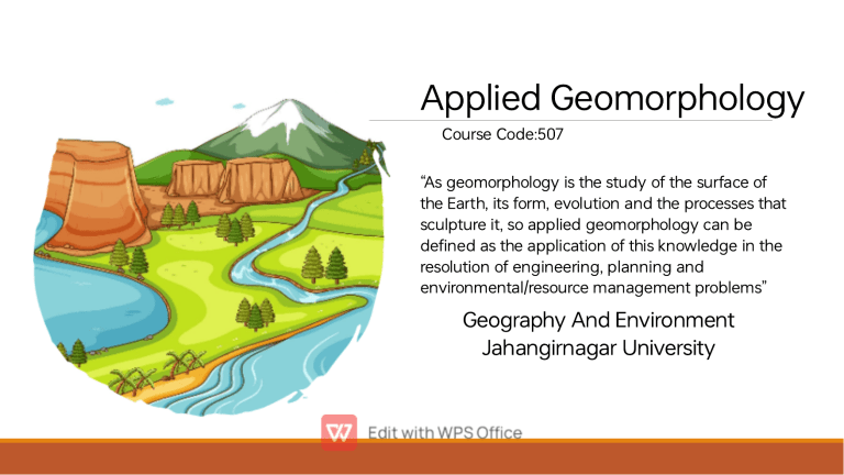
Applied Geomorphology Course Code:507 “As geomorphology is the study of the su ace of the Ea h, its form, evolution and the processes that sculpture it, so applied geomorphology can be defined as the application of this knowledge in the resolution of engineering, planning and environmental/resource management problems” Geography And Environment Jahangirnagar University Presented To: Md. Rezaul Rakib Associate Professor Geography And Environment Jahangirnagar University Presented By:Group-A Diba Tasnim Class Roll:1028 Tanvia Isha Class Roll:1013 Ishra Tasnim Class Roll:1067 Abdullah Al Imran Class Roll:1048 What is meant by “Geomorphology”? GEO (Ea h) GEOMORPHOLOGY LOGOS MORPHE (Study) (Forms) Geomorphology is defined as the science of description (STUDY) of various forms (MORPHO) of the ea h’s su ace. Definition of Geomorphology according to some scholars: Geomorphology is the interpretative description of the relief features of the ear th su ace. (P.G. Worcester, 1940) Geomorphology is defined as the scientific study of sur face features if the ear th’s su ace involving interpretative description of landforms, their origin and development. (Esterrok, 1969) Geomorphology is the systematic description and analysis of landscapes and the processes that change them. (A.L. Bloom, 1979) What are studied in geomorphology: Various landform features and landscapes Geomorphological processes of various environment. Geological timescale Efficiency of various hazards Geomorphologi cal theories Concept of applied geomorphology: Applied geomorphology is a field of science where the research outcomes provide information geomorphic landforms or processes that may be of concern to society, and, where relevant, provides solutions to problems of geomorphic context. Applied Geomorphology studies: •Environment •Human impact on environment •Environmental hazards and disasters Source: : The Gurdian Example of some environmental problems related with geomorphology : •Flood •Ea hquake •Landslide •Drought •Sea level rise •Depletion of ground water •Soil erosion •River bank erosion •Wind erosion •Deforestation Source: CNN How various environmental problems are related with geomorphology: •Various geomorphological processes and agents (water, wind, glacial, wave, current, etc) are responsible for environmental problems. Processes Fluvial Coastal Aeolian Slope Glacial Environmental problems River flood, Soil erosion, River bank erosion Tsunami, Cliff erosion, Beach erosion, Flood Soil erosion, Dese ification, Flash flood Landslide, Rockfall, Mudflow, Debris flow Disruption of frozen ground, Flood, Ice melting •To understand some issues, we need to take the help of some geomorphological theories. Plate tectonic theory Ea hquake, Volcanism •Geomorphology provides us the information of which area are vulnerable for which problems an also the level of vulnerability. •We need to have proper geomorphic knowledge to solve various environmental How geomorphological knowledge helps in solving environmental problems: To construct dams and reservoirs Regional planning Landslide risk assessment Coastal shoreline erosion management To do and accelerate tree plantation Environmental restoration and conservation Sustainable development Afforestation The Drainage Basin and Management The drainage basin is an open system, where water is added and lost and constantly moves. This means it has inputs, outputs, stores and transfers. The drainage basin is an area of land surrounding a river and its tributaries into which all the water drains. It will also include water that is stored in the water table and that flows over the su ace as runoff. A drainage basin is an area of land where water from rain or snow melt drains downhill into a body of water such as a river, lake, wetland or ocean. The drainage basin includes both the streams and rivers that convey the water as well as the land sur fa ce from which water drains into Types and Factors of Drainage Basin A number of factors influence input, output, and transpo of sediment and water in a drainage basin. Such factors include: topography, soil type, bedrock type, climate, and Vegetation cover. These factors also influence the nature of the structure of drainage basins Source: h p://www.physicalgeography.net/ Drainage basin management: Basin management is a geographically based approach of protecting and restoring water quality and quantity. Source: ScienceDirect.com Human's inte erence with fluvial systems Human inte erence with fluvial systems has had significant impacts on the environment and the functioning of river ecosystems. Here are a few examples of how human activities have affected fluvial systems: Damming Channelizatio Human n inte erence Overuse of water resources Pollution Human's inte erence with fluvial systems Damming: The construction of dams has altered the natural flow of rivers, which can impact the ecosystem downstream. Dams can also cause sediment buildup, which can affect the water quality and flow. Channelization: Straightening and widening of rivers, called channelization, is done to control flooding or for navigation purposes. This process can alter the natural flow of the river, leading to increased erosion and sedimentation. Pollution: Human activities such as agriculture, mining, and industrial activities can introduce pollutants into rivers, leading to water quality degradation, which can have severe impacts on aquatic ecosystems. Overuse of water resources: Overuse of water resources, such as excessive withdrawal of water for agriculture or urban use, can lead to reduced water flow and can even lead to the complete drying up of a river, which can have catastrophic The nature and purpose of land evaluation Land evaluation is a process of assessing the quality and potential of a piece of land for a specific use or purpose. The purpose of land evaluation is to provide landowners, farmers, developers, and other stakeholders with information to make informed decisions about land use planning, management, and investment. The nature of land evaluation can be described as a multidisciplinary approach that combines knowledge from several fields, including soil science, geology, hydrology, climate science, and ecology, among others. It involves gathering data on various aspects of the land, such as soil type, topography, water resources, climate, vegetation, and land use history, among others. This information is then analyzed to determine the land's suitability and potential for a specific use or purpose. The primary purpose of land evaluation is to provide information to decision-makers to make informed choices about land use. This includes decisions on whether to use the land for agriculture, forestry, residential development, recreation, conservation, or other purposes. Land evaluation can also help to identify potential risks and oppor tunities associated with different land uses and inform strategies to manage these risks. Some other purposes of land evaluation include: Identifying the most suitable areas for specific land uses or activities. Helping to identify potential environmental impacts associated with land use change. Suppo ing land use planning and policy development at local, regional, or national levels. Informing landowners and investors about the potential productivity and profitability of the land. Conclusion Applied geomorphology is an impor tant field of study that focuses on the processes that shape the Ear th's sur face and how they interact with human activities. It provides valuable information for natural hazard assessments, land use planning and management, and environmental impact assessments. By understanding the physical processes that shape the land, decision-makers can make informed choices about how to use and manage the land in the most effective and sustainable way possible. Thank You…
