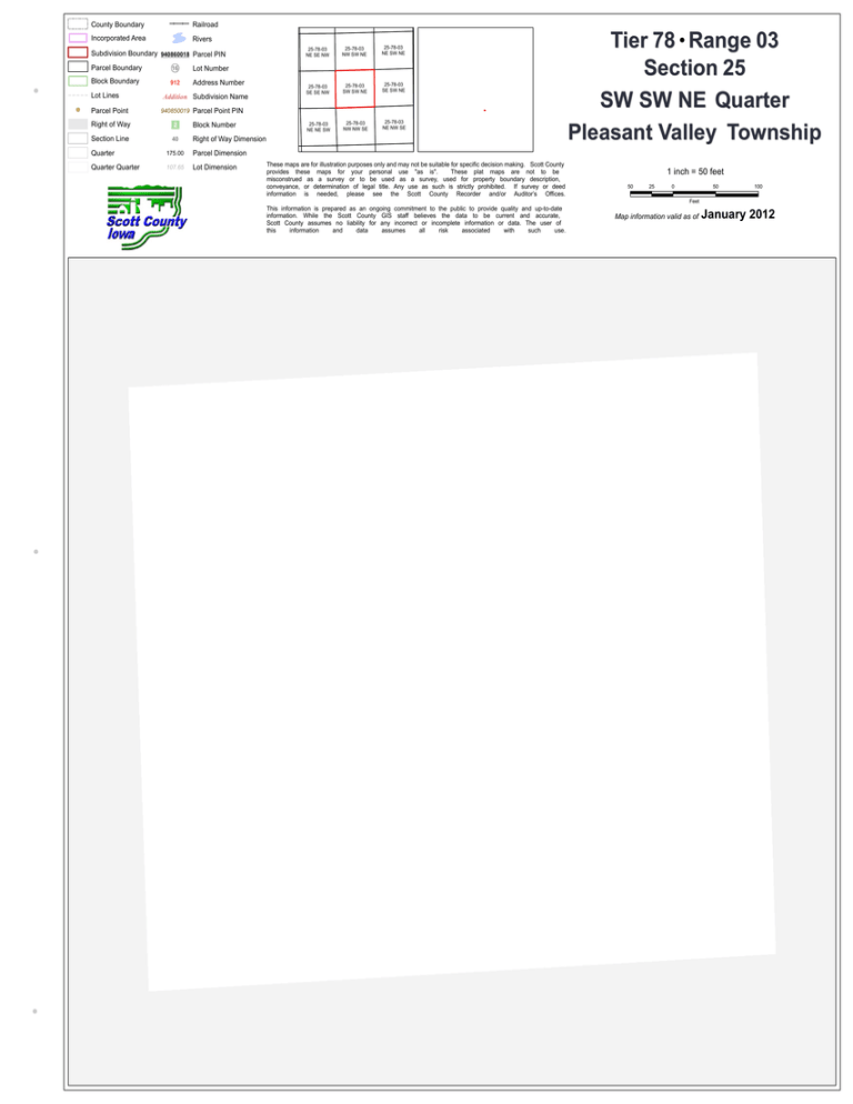
Township Pleasant Valley Section 25 Quarter SW SW NE Tier
advertisement

County Boundary Railroad Incorporated Area Rivers Subdivision Boundary 940860018 Parcel PIN Parcel Boundary 16 Lot Number Block Boundary 912 Address Number Lot Lines Parcel Point Addition Subdivision Name 25-78-03 NE SE NW 25-78-03 NW SW NE 25-78-03 NE SW NE 25-78-03 SE SE NW 25-78-03 SW SW NE 25-78-03 SE SW NE 25-78-03 NE NE SW 25-78-03 NW NW SE 25-78-03 NE NW SE 940850019 Parcel Point PIN Right of Way 2 Block Number Section Line 40 Right of Way Dimension Quarter 175.00 Parcel Dimension Quarter Quarter 107.65 Lot Dimension These maps are for illustration purposes only and may not be suitable for specific decision making. Scott County provides these maps for your personal use "as is". These plat maps are not to be misconstrued as a survey or to be used as a survey, used for property boundary description, conveyance, or determination of legal title. Any use as such is strictly prohibited. If survey or deed information is needed, please see the Scott County Recorder and/or Auditor’s Offices. Tier 78 Range 03 Section 25 SW SW NE Quarter Pleasant Valley Township 1 inch = 50 feet 50 25 0 50 100 Feet This information is prepared as an ongoing commitment to the public to provide quality and up-to-date information. While the Scott County GIS staff believes the data to be current and accurate, Scott County assumes no liability for any incorrect or incomplete information or data. The user of this information and data assumes all risk associated with such use. Map information valid as of January 2012


