Following the Tour de France with EGNOS
advertisement
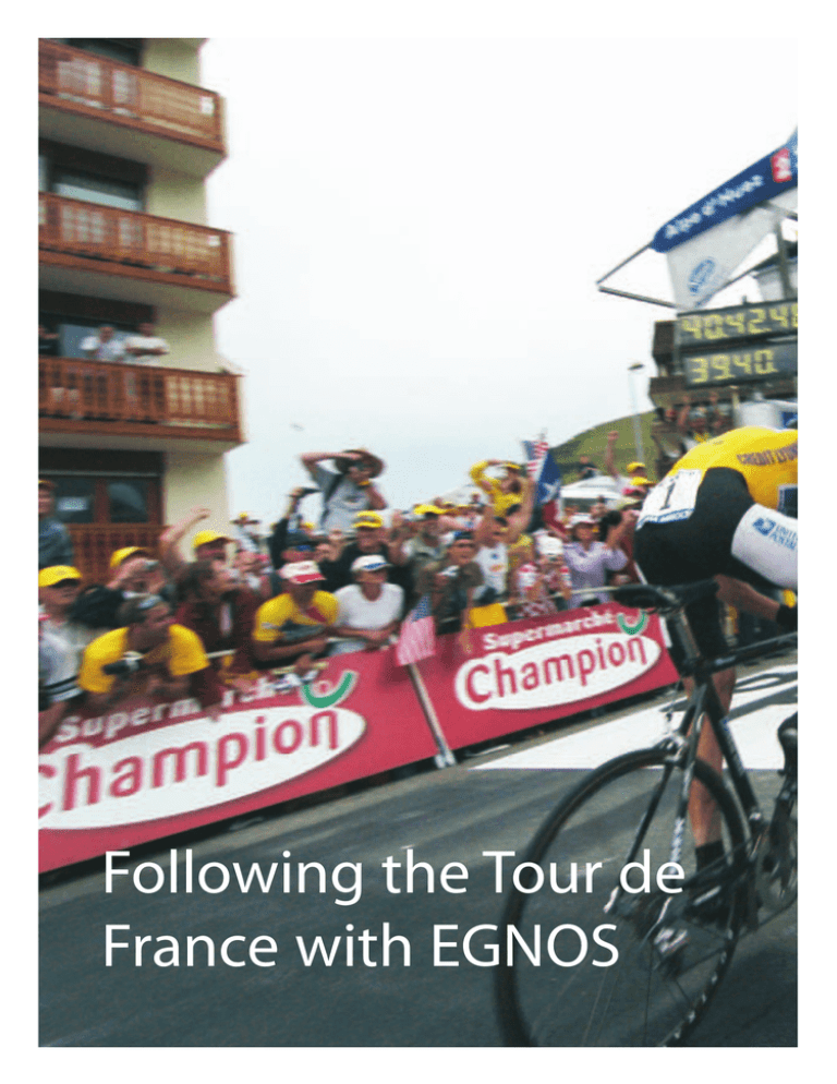
Following the Tour de France with EGNOS EGNOS Dominique Detain Directorate of European Union and Industrial Programmes, ESA, Paris Michel Tossaint & Jaron Samson SERCO, ESA Directorate of Technical and Quality Management, ESTEC, Noordwijk, The Netherlands T hanks to the new European EGNOS satellite-positioning system, it was possible to accurately track the positions and speeds of riders in this year’s Tour de France cycle race in real time! A first trial was conducted over the race’s famous and tortuous Alpe d’Huez stage on 21 July. Background The tracking of individual sports competitors by satellite is just one of a whole host of applications that have been made possible by the high positioning accuracy and integrity provided by EGNOS, the European Geostationary Navigation Overlay Service, which is now being implemented across Europe. Currently in an experimental phase, this particular application was demonstrated for the first time during the Tour de France time trial between Bourg d’Oisans and Alpe d’Huez, when 10 riders were tracked. By installing an EGNOS receiver in the Team Director’s vehicle accompanying each rider, it was possible to monitor the precise gaps between riders and even to model their ascents over the entire 15 kilometres of this legendary stage. It was even possible to ‘visualise’ the efforts of Lance Armstrong as he negotiated the 21 bends leading to the top of l'Alpe d'Huez and to compare his ascent with those of other riders, such as Richard Virenque. esa bulletin 120 - november 2004 29 Industrial Programmes The EGNOS receivers that were installed in the Team Directors’ cars Working on the EGNOS data from the riders raw pseudo-ranges were stored on a server. At the same time, an EGNOS receiver, also installed at the Control Centre, received the EGNOS/ESTB messages, which were used to compute a correction to the GPS pseudo-ranges. The computed locations were then sent to another server for ‘visualisation’, showing the positions of the riders in 3D using a Trimaran graphics system. The various servers were linked by a standard local area network (LAN), connected to the Internet via a router, as shown in the accompanying diagram. The reason for computing the EGNOS position at the Control Centre was that during such a mountain stage, geostationary satellite visibility is greatly reduced because they are located over the equator and their elevation in the sky for users in Europe is therefore rather low. Consequently, the statistical probability of having a geostationary satellite in view decreases considerably in the mountains. The EGNOS technology provides a number of benefits to users compared with ‘standard’ GPS. For the Tour de France application, two of those benefits were of major importance: namely the improved accuracy and the improved reliability of map matching. As a result of the improved accuracy offered by EGNOS, it is even possible to locate the position of a particular cyclist relative to the others in a peloton. This requires a relative positioning accuracy of approximately 1 metre, which stand-alone GPS is unable to provide. Map matching is a technique that is commonly used in navigation to improve accuracy and most of today’s incar navigation systems rely on it. Putting EGNOS Technology to Work The technology concept adopted for the Alpe d'Huez trial was as follows. GPS receivers were installed in the boots of ten of the Team Directors’ vehicles, which shadowed their riders very closely. These receivers transmitted their data via a GPRS modem link to the mobile operator. A message server collected this information and forwarded it to the Control Centre located at the summit of Alpe d'Huez. There, the receiver-computed position and 30 esa bulletin 120 - november 2004 EGNOS (the European Geostationary Navigation Overlay Service) is a joint project of the European Union, ESA and Eurocontrol. The network is made up of satellites and ground stations that correct and augment data provided by the US Global Positioning System (GPS). In its current form, the GPS system is neither accurate nor reliable enough for applications of the sort described here, while EGNOS, operational as of this summer, provides the accuracy and continuity required to follow the riders’ positions minute by minute. This already high level of performance will be given a further boost with the deployment of Galileo, the first civil global satellite navigation system for Europe, funded by ESA and the European Commission. www.esa.int EGNOS The EGNOS Control Centre near the finishing line at Alpe d’Huez When a vehicle is driving along a road and position fixes are made using GPS, the fixes will not be located on the road itself due to measurement errors. With map matching, the section of the road closest to a position fix is searched for in a database of road coordinates. Although the accuracy of the position fixes is thereby generally significantly improved, there is a small risk of matching the position fix to the wrong road segment, as shown in the accompanying figure. Here a vehicle is travelling on a mountain road and two navigation systems are being used, one with map matching (System 1) and one without (System 2). In this example, the position fix of System 1 is located on the correct segment of road due to the improved EGNOS’s greater positioning accuracy provides for more reliable map matching (see text) www.esa.int accuracy when using map matching, but the position fix from System 2 is on the wrong part of the road due to its larger measurement error. An alternative possibility for real-time precise tracking is a technique known as ‘Real-Time Kinematic Phase Processing’ (RTK), which was used to produce the reference track for the Alp d'Huez time trial. However, due to the trees next to the road and blocking due to the mountains, the RTK carrier positioning experiences large data outages, which means it cannot be used for tracking the cyclists themselves. This phenomenon is not experienced with the EGNOS solution, where more reliable code observations are used. Even to produce the reference track using RTK, ascending and descending passes had to be recorded several times, pausing at important locations. The final reference track is shown in the accompanying figure, with colour coding of the mountain slope and showing the turn numbers counting down until the village of Alpe d'Huez, indicating to the cyclists how far they still had to pedal! How Well Did EGNOS Do ? The final results of the EGNOS trial are esa bulletin 120 - november 2004 31 Industrial Programmes The reference track for the Alpe d’Huez time-trial stage illustrated in the accompanying graph, showing jut how well the receiver calculated Lance Armstrong’s position. The purple line is the pre-computed reference track. The red line indicates the unfiltered GPS-only solution, turning into black when filtering was applied. The blue line is the EGNOS filtered solution, which is always within less than 1 metre of the real track. A major conclusion from this test is that having the Galileo system operational would really make a difference for this application. Since the average number of satellites in view was particularly low in the area where the trial was conducted, due to the blocking effect of the mountains – generally about 6, and sometimes fewer than 4 – more satellites would be of great A virtual reconstruction of the race between Armstrong and Viranque over the Alpe d’Huez stage Lance Armstrong’s arrival at the Alpe d’Huez finish 32 esa bulletin 120 - november 2004 help. This is illustrated in the next figure, where the number of satellites tracked by Lance Armstrong’s receiver are shown by the black line, and the interval in seconds between successive samples is shown by the red one. This EGNOS trial has demonstrated a whole new way of following not only the Tour de France, but any race, thanks to the evolution of satellite navigation. With the help of satellites, it will be possible at any given time to know where each rider is and how he is doing in the race, whether he is in the peloton or has broken away and is out in front. This is useful information not only for Tour fans who want to know how their favourite rider is placed, but also for the Team Directors who want constant updates on their star performers and their opponents, or to analyse the race afterwards together with the riders. The information is also of great value to the race organisers, not least for safety www.esa.int EGNOS Graphical representation of the EGNOS receiver’s superior tracking capabilities Tour against the backdrop of a 3-D visualisation of the surrounding countryside. The combination of precise topographical data and data on the position of each rider will provide a 3-D real-time picture of the competition. This will be an invaluable addition to television broadcasts, which are currently unable to show all of the riders. With this kind of system, each broadcaster will, for example, be able to have a dedicated channel on which viewers can choose which rider they want to follow without needing to have a camera trained on each cyclist. This value-added service is currently under development within the framework of a partnership between the European Space Agency, Tour de France organiser ASO, and the computer graphics firm Trimaran. Conclusion The number of satellites visible to Lance Armstrong’s EGNOS receiver at different times during the stage purposes, giving them an overall perspective of how the stages are unfolding, complete with the exact positions of all competitors at any given moment. This data can be made available on the Internet, on the Tour de France channel or can be broadcast by other television channels even when they have no presence on the ground. www.esa.int And Next Year? A further aim of the project is to use the EGNOS data to construct a virtual image of each rider’s progress. The accuracy of EGNOS is such that the position of any moving object equipped with a receiver can be pinpointed to within 1 metre. It will therefore be possible to watch the progress of each rider through all the stages of the This demonstration project with the Tour de France served to underline the wide diversity of the applications that are now becoming possible thanks to satellite navigation. From blind people to sport, from air traffic to road tolling, every sector of our society could soon be heavily influenced or even transformed by precise tracking and positioning. Many see this as a ‘revolution’ in our daily lives, comparable to the invention of the wristwatch – not only do we now need to know the time, but also exactly where we are at any given moment! How true this will turn out to be remains to be seen, but we can certainly be sure that EGNOS represents just the beginning of these new services, which Galileo will go on to r enhance and expand. esa bulletin 120 - november 2004 33
