Let`s take a look - Route 460 Project
advertisement

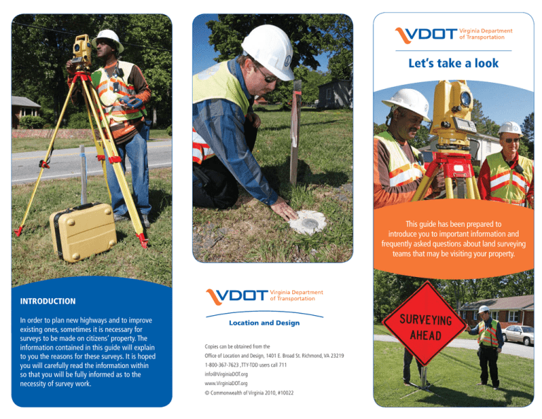
Let’s take a look This guide has been prepared to introduce you to important information and frequently asked questions about land surveying teams that may be visiting your property. INTRODUCTION In order to plan new highways and to improve existing ones, sometimes it is necessary for surveys to be made on citizens’ property. The information contained in this guide will explain to you the reasons for these surveys. It is hoped you will carefully read the information within so that you will be fully informed as to the necessity of survey work. Copies can be obtained from the Office of Location and Design, 1401 E. Broad St. Richmond, VA 23219 1-800-367-7623 ,TTY-TDD users call 711 info@VirginiaDOT.org www.VirginiaDOT.org © Commonwealth of Virginia 2010, #10022 1 2 3 4 WHAT TO EXPECT 1 If a survey team is working in your area, it does not necessarily mean a construction project is imminent. Many different possible routes must be surveyed before a final route for a highway project is chosen. 2 When a survey team is working near the roadway, staff will erect signs that will clearly mark their work area. These signs protect both motorists and staff members who may be working on the right of way. 3 Surveys are conducted by both VDOT and consultant surveyors. All staff members will have proper identification and general information regarding their purpose in your neighborhood. 4 You can help the survey team by showing them your property lines and answering any questions they have about your land and its use. 5 Aerial targets are required on some projects to obtain survey data. These targets may be left in place for several weeks. The survey crew will come back and remove them when the targets are no longer needed. 6 Stakes are sometimes placed by the survey team to clearly mark reference control points. We would appreciate if the stakes were left undisturbed until a crew returns to collect them. OVERVIEW 5 6 A survey team may be sent to your area by our Location and Design Division sometime in the near future. These teams will collect information which is needed in order to properly locate land features and physical improvements for new and existing projects in your area. The teams will have proper identification and information that clearly outlines their purpose on your property. VDOT’s duty is to locate a suitable route for all of its projects while considering safety and economic impacts as key factors. It is important to remember that the presence of a survey team on your property does not mean that a new road or road improvement is being planned along the particular line being surveyed. VDOT researches several potential locations and then selects the one best suited to meet the various criteria. FREQUENTLY ASKED QUESTIONS: What is a survey? A survey is a method of mapping geographic conditions and manmade features as they currently exist. Many kinds of information and scientific data are secured by a survey. Why is a survey being made on my property? We at VDOT are concerned with selecting a reasonable location for construction. A survey on your property does not necessarily indicate that a construction project is imminent. Any route that may affect your property must be mapped by the design team. Will my property be damaged? The survey team will make every effort to avoid property damage and will cause as little inconvenience as possible. It is sometimes necessary to clear away underbrush and other small obstacles to secure accurate data, but this activity will be kept at to a minimum. What about those stakes? Stakes are placed by the survey team to physically mark survey reference control points and aerial photography targets. We would appreciate if the stakes were left undisturbed until the crew comes to collect them. How can I help the survey team? You can help by showing our team your property lines and answering any questions they may have concerning your land and its use. If you have any knowledge concerning archeological or historical significance of the site, know of any unmarked cemeteries, home owner installed utilities, or easements, please let the them know immediately. Who can answer other questions I might have? The survey team is not in a position to answer questions involving future plans. You may contact the project manager using the contact information listed in the attached “Notice of Intent” letter with any questions involving the survey effort. When will I know if a road is being planned on my land? After careful and deliberate study and if VDOT determines the route will pass through your property, you will be notified well in advance. Specific details will be discussed as the project develops.

