Maps & Communities Vocabulary Cards: Geography Terms
advertisement
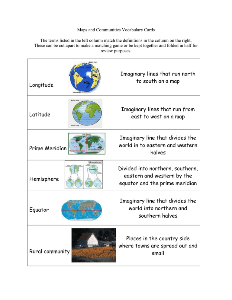
Maps and Communities Vocabulary Cards The terms listed in the left column match the definitions in the column on the right. These can be cut apart to make a matching game or be kept together and folded in half for review purposes. Longitude Latitude Prime Meridian Hemisphere Equator Rural community Imaginary lines that run north to south on a map Imaginary lines that run from east to west on a map Imaginary line that divides the world in to eastern and western halves Divided into northern, southern, eastern and western by the equator and the prime meridian Imaginary line that divides the world into northern and southern halves Places in the country side where towns are spread out and small Urban community Suburban community Compass rose Map key Map scale Antarctica Communities in cities Places outside the city where many people live. Main points are north, south, east and west with intermediate directions northeast, northwest, southeast and southwest – it shows directions on a map Contains the information you need to read the symbols on a map Used to measure distances on a map The southern most continent in the world Atlantic Ocean Cardinal Directions Continent Map Title North America Ordinal Directions The body of water on the east coast of the United States The four main points on a compass, North , South , East, and West One of the 7 bodies of land that covers the Earth Used to label the map The continent where the United States is located The secondary directions on a compass
