geoinformatics 2 - model paper
advertisement
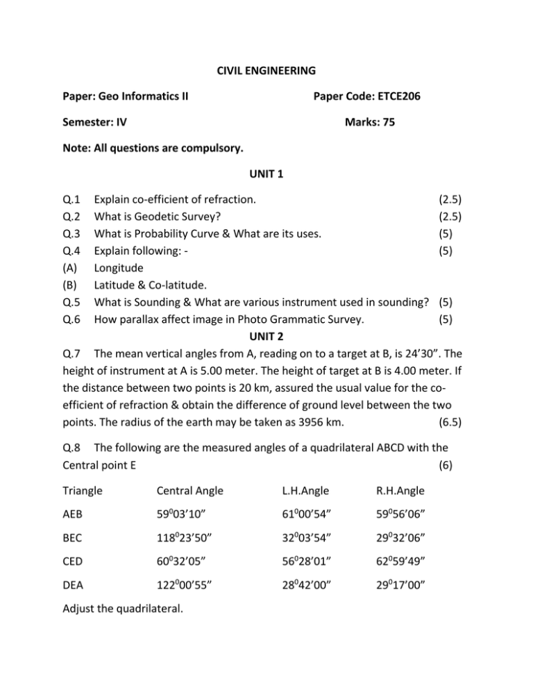
CIVIL ENGINEERING Paper: Geo Informatics II Paper Code: ETCE206 Semester: IV Marks: 75 Note: All questions are compulsory. UNIT 1 Q.1 Q.2 Q.3 Q.4 (A) (B) Q.5 Q.6 Explain co-efficient of refraction. (2.5) What is Geodetic Survey? (2.5) What is Probability Curve & What are its uses. (5) Explain following: (5) Longitude Latitude & Co-latitude. What is Sounding & What are various instrument used in sounding? (5) How parallax affect image in Photo Grammatic Survey. (5) UNIT 2 Q.7 The mean vertical angles from A, reading on to a target at B, is 24’30”. The height of instrument at A is 5.00 meter. The height of target at B is 4.00 meter. If the distance between two points is 20 km, assured the usual value for the coefficient of refraction & obtain the difference of ground level between the two points. The radius of the earth may be taken as 3956 km. (6.5) Q.8 The following are the measured angles of a quadrilateral ABCD with the Central point E (6) Triangle Central Angle L.H.Angle R.H.Angle AEB 59003’10” 61000’54” 59056’06” BEC 118023’50” 32003’54” 29032’06” CED 60032’05” 56028’01” 62059’49” DEA 122000’55” 28042’00” 29017’00” Adjust the quadrilateral. UNIT 3 Q.9 Explain setting out of building in detail? Q.10 Explain Route Survey in detail? (6.5) (6) UNIT 4 Q.11 Calculate the sun’s azimuth & hour angle at a place in latitude 42030’N When its declination is (6) (A) 22012’ N (B) 22012’ S Q.12 What are Parallax & Refraction? How do they affect the measurement of vertical angles in astronomical work? Give rough values of the correction necessary when measuring a vertical angle of 450. (6.5) UNIT 5 Q.13 Write a note on remote sensing observation platforms. Differentiate between active & passive remote sensing. (6.5) Q.14 An object has an elevation of 400 m above sea level the distance from the principle point to the image of that point on the photograph is 4.86 cm. If the datum scale is 1/12000 & focal length of the camera is 24 cm. determine the relief displacement of the point. (6)
