A Day in the Life of the Hudson River 10/16/14... (Salt Front RM 65.9) RIVER MILE 60 Dennings Point
advertisement
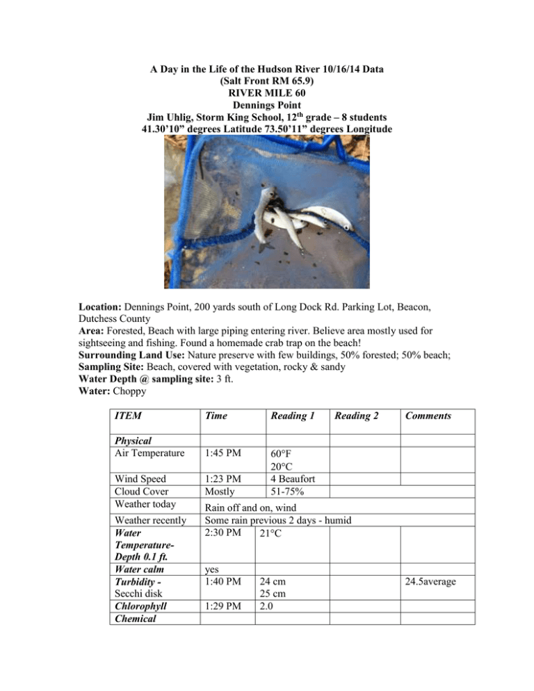
A Day in the Life of the Hudson River 10/16/14 Data (Salt Front RM 65.9) RIVER MILE 60 Dennings Point Jim Uhlig, Storm King School, 12th grade – 8 students 41.30’10” degrees Latitude 73.50’11” degrees Longitude Location: Dennings Point, 200 yards south of Long Dock Rd. Parking Lot, Beacon, Dutchess County Area: Forested, Beach with large piping entering river. Believe area mostly used for sightseeing and fishing. Found a homemade crab trap on the beach! Surrounding Land Use: Nature preserve with few buildings, 50% forested; 50% beach; Sampling Site: Beach, covered with vegetation, rocky & sandy Water Depth @ sampling site: 3 ft. Water: Choppy ITEM Time Reading 1 Physical Air Temperature 1:45 PM 60F 20C 4 Beaufort 51-75% Wind Speed Cloud Cover Weather today Weather recently Water TemperatureDepth 0.1 ft. Water calm Turbidity Secchi disk Chlorophyll Chemical 1:23 PM Mostly Reading 2 Comments Rain off and on, wind Some rain previous 2 days - humid 2:30 PM 21C yes 1:40 PM 1:29 PM 24 cm 25 cm 2.0 24.5average DO (drop count kit) pH – color match test kit 1:30 PM 2:00 PM 2:12 PM 2:23 PM 11 mg/L 12 mg/L 5.5* 5.5* 21C 21C 120% 130% *believes not working well Salinity - quantabs 2:00 PM Fish Catch 20 ft. X4 seine – 1 pull Tides Currents Number – LR 5.5 HR 2.5 Species – 303 Cl- ppm 380 Cl- ppm CPUE - 547 ppm TS 686 ppm TS Seine 20 1:29 PM 1:23 PM 2:20 PM Common Alewife 32.9 cm 300cm/30 sec 500 cm/30 sec Abundant Diversity – 1 Total catch20 10 cm/sec 16.6 cm/sec 0.19 kts 0.32 kts Gravel Slag 1:30 PM Canoe yellow light Core Sample – no actual core but sediment in area Boats
