RM11.5 AM
advertisement
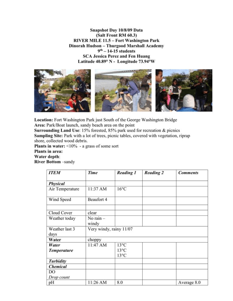
Snapshot Day 10/8/09 Data (Salt Front RM 60.3) RIVER MILE 11.5 – Fort Washington Park Dinorah Hudson – Thurgood Marshall Academy 9th – 14-15 students SCA Jessica Perez and Fen Huang Latitude 40.89° N - Longitude 73.94°W Location: Fort Washington Park just South of the George Washington Bridge Area: Park/Boat launch, sandy beach area on the point Surrounding Land Use: 15% forested, 85% park used for recreation & picnics Sampling Site: Park with a lot of trees, picnic tables, covered with vegetation, riprap shore, collected wood debris. Plants in water: <10% - a grass of some sort Plants in area: Water depth: River Bottom –sandy ITEM Time Reading 1 Physical Air Temperature 11:37 AM 16°C Wind Speed Beaufort 4 Cloud Cover Weather today clear No rain – windy Very windy, rainy 11/07 Weather last 3 days Water Water Temperature Turbidity Chemical DO Drop count pH choppy 11:47 AM 11:26 AM Reading 2 Comments 13°C 13°C 13°C 8.0 Average 8.0 Indicator solution Phosphate Nitrates 7.5 8.0 11:14 AM Salinity hydrometer 11:39 AM Fish Catch Number Caught 1 1 10:36 AM 11:03 AM 1.0 ppm 1.0 ppm 1.0 ppm 11.1 ppt 11.2 ppt 11.1 ppt Species 10 cm 20 cm rising 11:46 AM 12:36 PM 31 cm 37 cm rising rising Currents CM/60 secs Cm/Sec North/South Knots Ebb/Flood/Still 11:00 AM 11:50 AM Turbidity Core Description Commercial Traffic 0 0 Still Still Total Length 10:55 AM Top Layer Large Boat Second Layer Southbound Describe Loaded/Cargo 10:55 AM 11:50 AM Tug boat Sail boat Southbound Southbound light light Tides
