Snapshot Day 10/7/08 Data (Salt Front RM 63.4) RIVER MILE 41
advertisement
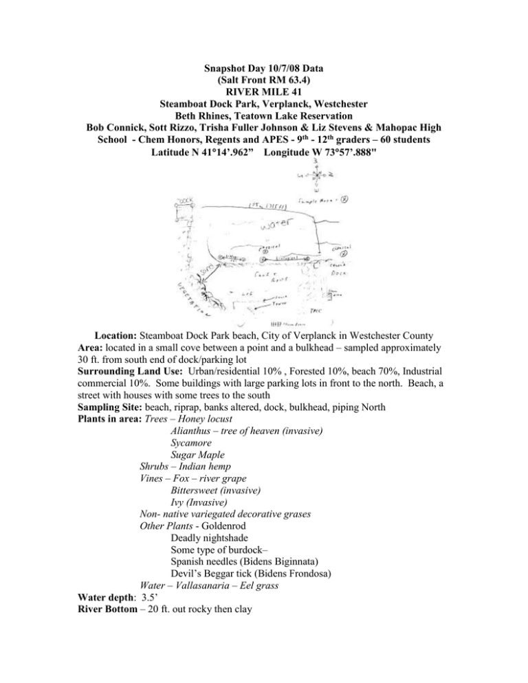
Snapshot Day 10/7/08 Data (Salt Front RM 63.4) RIVER MILE 41 Steamboat Dock Park, Verplanck, Westchester Beth Rhines, Teatown Lake Reservation Bob Connick, Sott Rizzo, Trisha Fuller Johnson & Liz Stevens & Mahopac High School - Chem Honors, Regents and APES - 9th - 12th graders – 60 students Latitude N 4114’.962” Longitude W 7357’.888" Location: Steamboat Dock Park beach, City of Verplanck in Westchester County Area: located in a small cove between a point and a bulkhead – sampled approximately 30 ft. from south end of dock/parking lot Surrounding Land Use: Urban/residential 10% , Forested 10%, beach 70%, Industrial commercial 10%. Some buildings with large parking lots in front to the north. Beach, a street with houses with some trees to the south Sampling Site: beach, riprap, banks altered, dock, bulkhead, piping North Plants in area: Trees – Honey locust Alianthus – tree of heaven (invasive) Sycamore Sugar Maple Shrubs – Indian hemp Vines – Fox – river grape Bittersweet (invasive) Ivy (Invasive) Non- native variegated decorative grases Other Plants - Goldenrod Deadly nightshade Some type of burdock– Spanish needles (Bidens Biginnata) Devil’s Beggar tick (Bidens Frondosa) Water – Vallasanaria – Eel grass Water depth: 3.5’ River Bottom – 20 ft. out rocky then clay ITEM Time Reading 1 Physical Air Temperature 11:11 AM 12.1C 12:17 PM 19C Wind Speed Cloud Cover Weather today Weather recently Water Temperature Turbidity - secchi Meter Chlorophyll Core Chemical DO (drop kits) pH Indicator sol 2 Beaufort none Clear, cool 10/4/08 – Hi 16C; Low 2 C; Precip 0.48 cm 10/5/08 – Hi 14C; Low 4 C; Precip 0.38 cm 10/6/08 - Hi 14C; Low 3 C; Precip 0.00cm 11:45 AM 22C 25C 23C 12:12 PM 22C 22C 21C 11:45 AM 0.13 M 0.19 m 11:45 AM 33 NTU 13.5 cm Total Clay rare 7.5 cm top layer Mud rare 11:15 AM 8 mg/L 11:15 AM Phosphate Nitrate Alkalinity 11:15 AM 11:15 AM 11:15 AM Salinity meter 11:45 AM Fish Catch Number Caught 27 20 ft net X 4ft– 50 ft. pull 4X6 mm openings Reading 2 15 91 8.0 8.0 8.0 0.29 mg/L 0.7 mg/L 100 mg/L 110 mg/L 120 mg/L 3.5 ppt 3.4 ppt 3.6 ppt Species Striped bass White perch Atlantic Comments average 23.3C Average 21.7C 0.16 meters 6 cm bottom layer Sand common Brick abundant 21C 90 % Average 8.0 0.37 mg/L 0.9 mg/L 0.34 mg/L 0.8 mg/L 110 mg/L 3.5 ppt average CPUE Seine Tides Currents Slight bay in test area Core – From 3.5 ft. of water - 40 ft. from shore Traffic Other Items silversides 5 Blue crab 3 American Eel 2 Grass Shrimp TIME Distance water advanced towards shore 11:20 AM 9 cm 11:35 AM 19 cm 11:55 Am 66.5 cm Cm/60 sec Cm/sec 280 cm/60sec 380 cm/60 sec Length 12-13.5 cm – dark slatey grey Depth Change over time w/ Meter stick 66 cm 76 cm Knots rising rising Direction 4.67 cm/sec 0.093 knots N Flood 6.33 cm/sec 0.126 knots N Flood Top 4 cm oxidized – reddish grey with red dots – brick or oxidation? 8-13 cm Abundant” second layer – Clay fine particles (clay?)
