College of San Mateo Official Course Outline COURSE ID: Semester Units/Hours:
advertisement
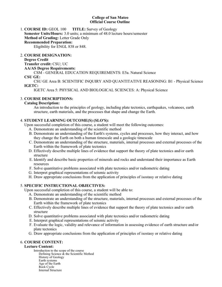
College of San Mateo Official Course Outline 1. COURSE ID: GEOL 100 TITLE: Survey of Geology Semester Units/Hours: 3.0 units; a minimum of 48.0 lecture hours/semester Method of Grading: Letter Grade Only Recommended Preparation: Eligibility for ENGL 838 or 848. 2. COURSE DESIGNATION: Degree Credit Transfer credit: CSU; UC AA/AS Degree Requirements: CSM - GENERAL EDUCATION REQUIREMENTS: E5a. Natural Science CSU GE: CSU GE Area B: SCIENTIFIC INQUIRY AND QUANTITATIVE REASONING: B1 - Physical Science IGETC: IGETC Area 5: PHYSICAL AND BIOLOGICAL SCIENCES: A: Physical Science 3. COURSE DESCRIPTIONS: Catalog Description: An introduction to the principles of geology, including plate tectonics, earthquakes, volcanoes, earth structure, earth materials, and the processes that shape and change the Earth. 4. STUDENT LEARNING OUTCOME(S) (SLO'S): Upon successful completion of this course, a student will meet the following outcomes: A. Demonstrate an understanding of the scientific method B. Demonstrate an understanding of the Earth's systems, cycles and processes, how they interact, and how they change the Earth on both a human timescale and a geologic timescale C. Demonstrate an understanding of the structure, materials, internal processes and external processes of the Earth within the framework of plate tectonics D. Effectively describe multiple lines of evidence that support the theory of plate tectonics and/or earth structure E. Identify and describe basic properties of minerals and rocks and understand their importance as Earth resources F. Solve quantitative problems associated with plate tectonics and/or radiometric dating G. Interpret graphical representations of seismic activity H. Draw appropriate conclusions from the application of principles of isostasy or relative dating 5. SPECIFIC INSTRUCTIONAL OBJECTIVES: Upon successful completion of this course, a student will be able to: A. Demonstrate an understanding of the scientific method B. Demonstrate an understanding of the structure, materials, internal processes and external processes of the Earth within the framework of plate tectonics C. Effectively describe multiple lines of evidence that support the theory of plate tectonics and/or earth structure D. Solve quantitative problems associated with plate tectonics and/or radiometric dating E. Interpret graphical representations of seismic activity F. Evaluate the logic, validity and relevance of information in assessing evidence of earth structure and/or plate tectonics G. Draw appropriate conclusions from the application of principles of isostasy or relative dating 6. COURSE CONTENT: Lecture Content: Introduction to the scope of the course Defining Science & the Scientific Method History of Geology Earth systems Age of the Earth Rock Cycle Internal Structure Continental Drift & Plate Tectonics Alfred Wegener's hypothesis & evidence Earth's Magnetic Field & Paleomagnetism Polar Wander Curves Magnetic Reversals & Seafloor Spreading Evidence from Oceanography Hot Spots & Other Evidence Major Plates Types of Plate Boundaries & Associated features Plate Rates Driving Forces Plates: Past, Present & Future Earthquakes & Seismology What is an earthquake? Causes and distribution Fault segmentation Magnitude & Intensity Measurements & Scales Destruction & Damage Past Earthquakes Prediction Preparation Local Seismic Activity, Faults & Earthquake Probabilities Seismic Instruments Seismic Waves & their Propagation Epicenter Triangulation Evidence for Earth's Internal Structure Geologic Structures & Mountain Building Crustal Deformation & Conditions Types of Geologic Structures Mountain Building Processes Accretion Isostasy and Isostatic Adjustment Minerals Criteria Atoms & Elements in the Crust Mineral Groups Physical Properties (10) Igneous Processes & Rocks Bowen's Reaction Series Magma Differentiation Processes Igneous Compositions Cooling Rates & Crystal Size Igneous Textures Igneous Rocks Plutonic Structures Volcanic Activity Eruptions & Eruptive Styles Materials erupted Types of Volcanoes Other Volcanic Landforms Volcanic Hazards & Past Eruptions Weathering Causes & 2 Main Types Mechanical Weathering Processes Chemical Weathering Processes Differential Weathering Sedimentary Structures & Rocks Sediment Lithification Importance of Sedimentary Rocks Interpreting Sedimentary Features & Structures Sedimentary Rocks Sedimentary & Energy Resources (Nonrewable & Renewable) Metamorphic Processes Rocks Solid-state change Agents/Causes of Metamorphism Grades & Index Minerals Types/Environments Changes to the Parent Rock Metamorphic Rocks Igneous & Metamorphic Resources Mass Wasting Causes & Factors Classification Criteria Types of Events Long Runout Landslides & Megatsunami Running Water Hydrologic Cycle Longitundinal Profile Stream Velocity Factors Graded Stream Theory Base Levels Urbanization Effects Erosion Processes & Features Transportation Methods & Measurement Deposition Processes & Features Flood Control Groundwater Importance of Groundwater Basic Parts of the System Movement of Groundwater Features Problems Glaciers Valley Glaciers & Ice Sheets Glacier Formation & Movement Terminus & Glacial Budget Glacial Features Differences Compared to Rivers Ice Ages & Interglacial Cycles Global Warming Geologic Time & Dating Methods Geologic Time Scale Correlation Fossils and Fossilization Relative Dating Laws & Application Radiometric Dating & Application 7. REPRESENTATIVE METHODS OF INSTRUCTION: Typical methods of instruction may include: A. Lecture B. Activity C. Discussion D. Observation and Demonstration E. Other (Specify): The following methodologies are appropriate. Individual faculty will use whatever mix of these they find most effective in the presentation of each topic. Lecture presentations supplemented by visual aids (powerpoint presentations, movies, maps), in-class demonstrations, classroom response system questions, instructor-led class discussions, hands-on experience with minerals and rocks, in-class review games, required reading of text, required homework on key terms and concepts, required application of relative dating principles, optional homework reviewing terms & concepts and optional field trips. 8. REPRESENTATIVE ASSIGNMENTS Representative assignments in this course may include, but are not limited to the following: Writing Assignments: Writing assignment example: Draw a cross-section view of a plate boundary where continental and oceanic lithosphere converge. Include and label all of the features associated with this type of plate boundary. Beneath your diagram, write a paragraph describing what happens at this type of plate boundary and why. Your paragraph should include all of the labeled features in your diagram. Reading Assignments: Weekly reading assignments from the required text and an occasional additional publication from the United States Geological Survey. Other Outside Assignments: Two to four homework assignments per week are assigned. 9. REPRESENTATIVE METHODS OF EVALUATION Representative methods of evaluation may include: A. Class Participation B. Class Work C. Exams/Tests D. Home Work E. Quizzes F. Instructors have considerable discretion in determining course grades, but the department expects in-class quizzes and tests to account for at least 80% of the final grade. Homework, in-class assignments, and projects typically combine to account for the remaining 20% of the grade. Methods of evaluation include written quizzes and tests with both graphic-based questions and objective questions (true/false, multiple choice, matching), in-class exercises, homework, participation in class activities and discussions. 10. REPRESENTATIVE TEXT(S): Possible textbooks include: A. Lutgens, F. K. and Tarbuck, E. J.. Essentials of Geology, 11th ed. Pearson/Prentice Hall, 2012 Origination Date: August 2010 Curriculum Committee Approval Date: April 2013 Effective Term: Fall 2013 Course Originator: Linda Hand
