A Near Real-Time AIRS Processing and Distribution System: Current
advertisement
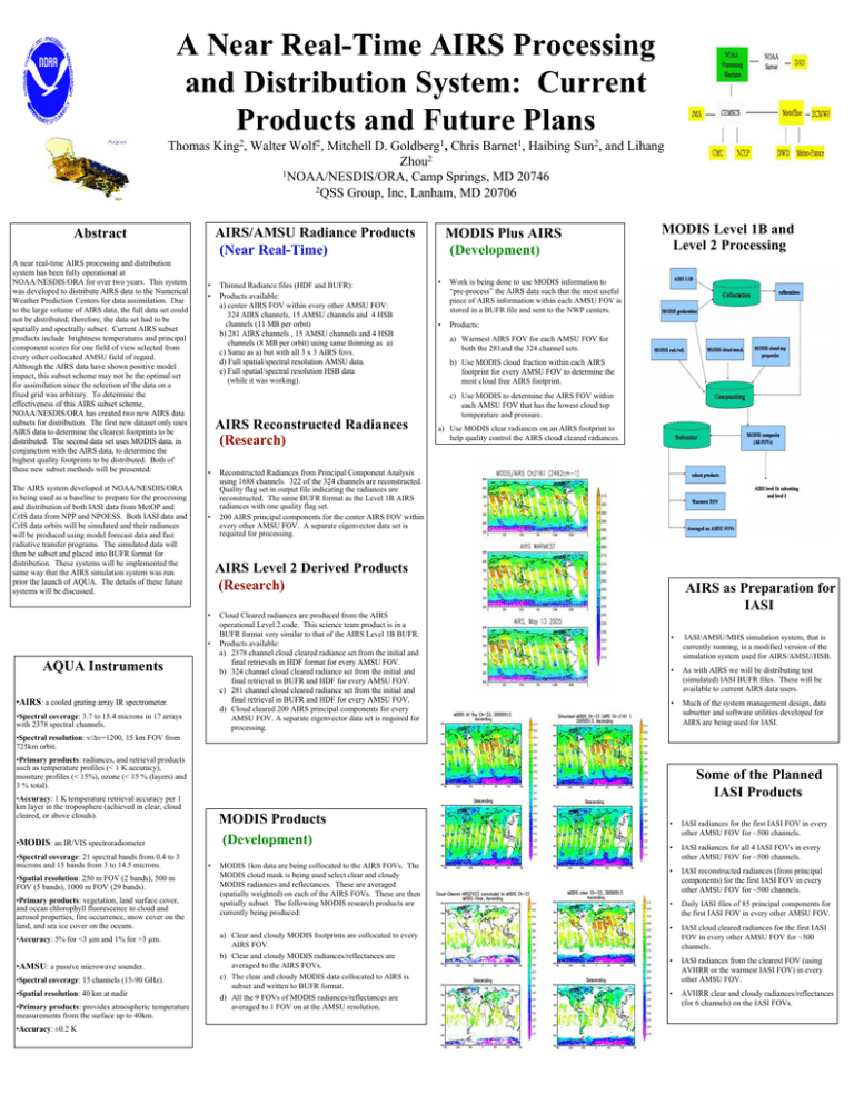
A Near Real-Time AIRS Processing and Distribution System: Current Products and Future Plans Thomas King2, Walter Wolf2, Mitchell D. Goldberg1, Chris Barnet1, Haibing Sun2, and Lihang Zhou2 1NOAA/NESDIS/ORA, Camp Springs, MD 20746 2QSS Group, Inc, Lanham, MD 20706 AIRS/AMSU Radiance Products (Near Real-Time) Abstract A near real-time AIRS processing and distribution system has been fully operational at NOAA/NESDIS/ORA for over two years. This system was developed to distribute AIRS data to the Numerical Weather Prediction Centers for data assimilation. Due to the large volume of AIRS data, the full data set could not be distributed; therefore, the data set had to be spatially and spectrally subset. Current AIRS subset products include brightness temperatures and principal component scores for one field of view selected from every other collocated AMSU field of regard. Although the AIRS data have shown positive model impact, this subset scheme may not be the optimal set for assimilation since the selection of the data on a fixed grid was arbitrary. To determine the effectiveness of this AIRS subset scheme, NOAA/NESDIS/ORA has created two new AIRS data subsets for distribution. The first new dataset only uses AIRS data to determine the clearest footprints to be distributed. The second data set uses MODIS data, in conjunction with the AIRS data, to determine the highest quality footprints to be distributed. Both of these new subset methods will be presented. The AIRS system developed at NOAA/NESDIS/ORA is being used as a baseline to prepare for the processing and distribution of both IASI data from MetOP and CrIS data from NPP and NPOESS. Both IASI data and CrIS data orbits will be simulated and their radiances will be produced using model forecast data and fast radiative transfer programs. The simulated data will then be subset and placed into BUFR format for distribution. These systems will be implemented the same way that the AIRS simulation system was run prior the launch of AQUA. The details of these future systems will be discussed. • • Thinned Radiance files (HDF and BUFR): Products available: a) center AIRS FOV within every other AMSU FOV: 324 AIRS channels, 15 AMSU channels and 4 HSB channels (11 MB per orbit) b) 281 AIRS channels , 15 AMSU channels and 4 HSB channels (8 MB per orbit) using same thinning as a) c) Same as a) but with all 3 x 3 AIRS fovs. d) Full spatial/spectral resolution AMSU data. e) Full spatial/spectral resolution HSB data (while it was working). MODIS Plus AIRS (Development) • Work is being done to use MODIS information to “pre-process” the AIRS data such that the most useful piece of AIRS information within each AMSU FOV is stored in a BUFR file and sent to the NWP centers. • Products: MODIS Level 1B and Level 2 Processing a) Warmest AIRS FOV for each AMSU FOV for both the 281and the 324 channel sets. b) Use MODIS cloud fraction within each AIRS footprint for every AMSU FOV to determine the most cloud free AIRS footprint. c) Use MODIS to determine the AIRS FOV within each AMSU FOV that has the lowest cloud top temperature and pressure. AIRS Reconstructed Radiances (Research) • • a) Use MODIS clear radiances on an AIRS footprint to help quality control the AIRS cloud cleared radiances. Reconstructed Radiances from Principal Component Analysis using 1688 channels. 322 of the 324 channels are reconstructed. Quality flag set in output file indicating the radiances are reconstructed. The same BUFR format as the Level 1B AIRS radiances with one quality flag set. 200 AIRS principal components for the center AIRS FOV within every other AMSU FOV. A separate eigenvector data set is required for processing. AIRS Level 2 Derived Products (Research) • • AQUA Instruments •AIRS: a cooled grating array IR spectrometer. •Spectral coverage: 3.7 to 15.4 microns in 17 arrays with 2378 spectral channels. Cloud Cleared radiances are produced from the AIRS operational Level 2 code. This science team product is in a BUFR format very similar to that of the AIRS Level 1B BUFR. Products available: a) 2378 channel cloud cleared radiance set from the initial and final retrievals in HDF format for every AMSU FOV. b) 324 channel cloud cleared radiance set from the initial and final retrieval in BUFR and HDF for every AMSU FOV. c) 281 channel cloud cleared radiance set from the initial and final retrieval in BUFR and HDF for every AMSU FOV. d) Cloud cleared 200 AIRS principal components for every AMSU FOV. A separate eigenvector data set is required for processing. AIRS as Preparation for IASI • IASI/AMSU/MHS simulation system, that is currently running, is a modified version of the simulation system used for AIRS/AMSU/HSB. • As with AIRS we will be distributing test (simulated) IASI BUFR files. These will be available to current AIRS data users. • Much of the system management design, data subsetter and software utilities developed for AIRS are being used for IASI. •Spectral resolution: ν/∆ν=1200, 15 km FOV from 725km orbit. •Primary products: radiances, and retrieval products such as temperature profiles (< 1 K accuracy), moisture profiles (< 15%), ozone (< 15 % (layers) and 3 % total). Some of the Planned IASI Products •Accuracy: 1 K temperature retrieval accuracy per 1 km layer in the troposphere (achieved in clear, cloud cleared, or above clouds). MODIS Products (Development) •MODIS: an IR/VIS spectroradiometer •Spectral coverage: 21 spectral bands from 0.4 to 3 microns and 15 bands from 3 to 14.5 microns. •Spatial resolution: 250 m FOV (2 bands), 500 m FOV (5 bands), 1000 m FOV (29 bands). •Primary products: vegetation, land surface cover, and ocean chlorophyll fluorescence to cloud and aerosol properties, fire occurrence, snow cover on the land, and sea ice cover on the oceans. •Accuracy: 5% for <3 µm and 1% for >3 µm. •AMSU: a passive microwave sounder. •Spectral coverage: 15 channels (15-90 GHz). •Spatial resolution: 40 km at nadir •Primary products: provides atmospheric temperature measurements from the surface up to 40km. •Accuracy: ±0.2 K • MODIS 1km data are being collocated to the AIRS FOVs. The MODIS cloud mask is being used select clear and cloudy MODIS radiances and reflectances. These are averaged (spatially weighted) on each of the AIRS FOVs. These are then spatially subset. The following MODIS research products are currently being produced: a) Clear and cloudy MODIS footprints are collocated to every AIRS FOV. b) Clear and cloudy MODIS radiances/reflectances are averaged to the AIRS FOVs. c) The clear and cloudy MODIS data collocated to AIRS is subset and written to BUFR format. d) All the 9 FOVs of MODIS radiances/reflectances are averaged to 1 FOV on at the AMSU resolution. • IASI radiances for the first IASI FOV in every other AMSU FOV for ~500 channels. • IASI radiances for all 4 IASI FOVs in every other AMSU FOV for ~500 channels. • IASI reconstructed radiances (from principal components) for the first IASI FOV in every other AMSU FOV for ~500 channels. • Daily IASI files of 85 principal components for the first IASI FOV in every other AMSU FOV. • IASI cloud cleared radiances for the first IASI FOV in every other AMSU FOV for ~500 channels. • IASI radiances from the clearest FOV (using AVHRR or the warmest IASI FOV) in every other AMSU FOV. • AVHRR clear and cloudy radiances/reflectances (for 6 channels) on the IASI FOVs.
