Level-2 Products in the CSPP-GEO Direct Broadcast Package
advertisement
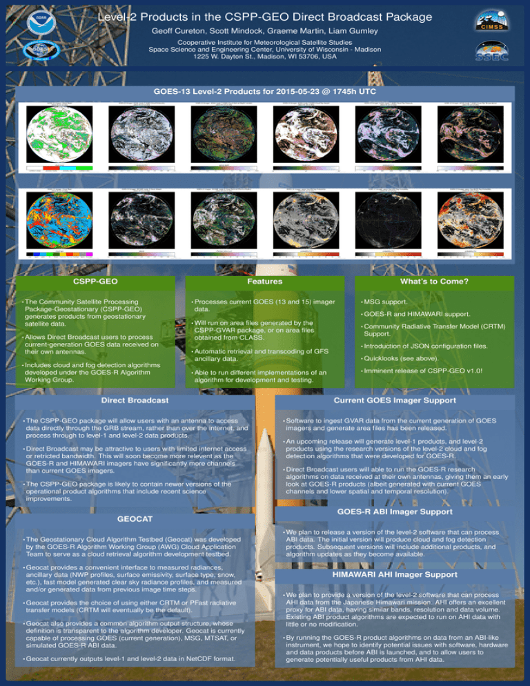
Level-2 Products in the CSPP-GEO Direct Broadcast Package Geoff Cureton, Scott Mindock, Graeme Martin, Liam Gumley Cooperative Institute for Meteorological Satellite Studies Space Science and Engineering Center, University of Wisconsin - Madison 1225 W. Dayton St., Madison, WI 53706, USA GOES-13 Level-2 Products for 2015-05-23 @ 1745h UTC CSPP-GEO • The Community Satellite Processing Package-Geostationary (CSPP-GEO) generates products from geostationary satellite data. Features • Processes current GOES (13 and 15) imager data. • MSG support. • GOES-R and HIMAWARI support. • Will run on area files generated by the CSPP-GVAR package, or on area files obtained from CLASS. • Allows Direct Broadcast users to process current-generation GOES data received on their own antennas. What’s to Come? • Automatic retrieval and transcoding of GFS • Community Radiative Transfer Model (CRTM) Support. • Introduction of JSON configuration files. • Quicklooks (see above). ancillary data. • Includes cloud and fog detection algorithms developed under the GOES-R Algorithm Working Group. • Able to run different implementations of an • Imminent release of CSPP-GEO v1.0! algorithm for development and testing. Direct Broadcast • The CSPP-GEO package will allow users with an antenna to access data directly through the GRB stream, rather than over the internet, and process through to level-1 and level-2 data products. Current GOES Imager Support • Software to ingest GVAR data from the current generation of GOES imagers and generate area files has been released. • An upcoming release will generate level-1 products, and level-2 • Direct Broadcast may be attractive to users with limited internet access or retricted bandwidth. This will soon become more relevent as the GOES-R and HIMAWARI imagers have significantly more channels than current GOES imagers. • The CSPP-GEO package is likely to contain newer versions of the operational product algorithms that include recent science improvements. products using the research versions of the level-2 cloud and fog detection algorithms that were developed for GOES-R. • Direct Broadcast users will able to run the GOES-R research algorithms on data received at their own antennas, giving them an early look at GOES-R products (albeit generated with current GOES channels and lower spatial and temporal resolution). GOES-R ABI Imager Support GEOCAT • We plan to release a version of the level-2 software that can process • The Geostationary Cloud Algorithm Testbed (Geocat) was developed by the GOES-R Algorithm Working Group (AWG) Cloud Application Team to serve as a cloud retrieval algorithm development testbed. ABI data. The initial version will produce cloud and fog detection products. Subsequent versions will include additional products, and algorithm updates as they become available. • Geocat provides a convenient interface to measured radiances, ancillary data (NWP profiles, surface emissivity, surface type, snow, etc.), fast model generated clear sky radiance profiles, and measured and/or generated data from previous image time steps. • Geocat provides the choice of using either CRTM or PFast radiative transfer models (CRTM will eventually be the default). • Geocat also provides a common algorithm output structure, whose definition is transparent to the algorithm developer. Geocat is currently capable of processing GOES (current generation), MSG, MTSAT, or simulated GOES-R ABI data. • Geocat currently outputs level-1 and level-2 data in NetCDF format. HIMAWARI AHI Imager Support • We plan to provide a version of the level-2 software that can process AHI data from the Japanese Himawari mission. AHI offers an excellent proxy for ABI data, having similar bands, resolution and data volume. Existing ABI product algorithms are expected to run on AHI data with little or no modification. • By running the GOES-R product algorithms on data from an ABI-like instrument, we hope to identify potential issues with software, hardware and data products before ABI is launched, and to allow users to generate potentially useful products from AHI data.
