Document 13128547
advertisement
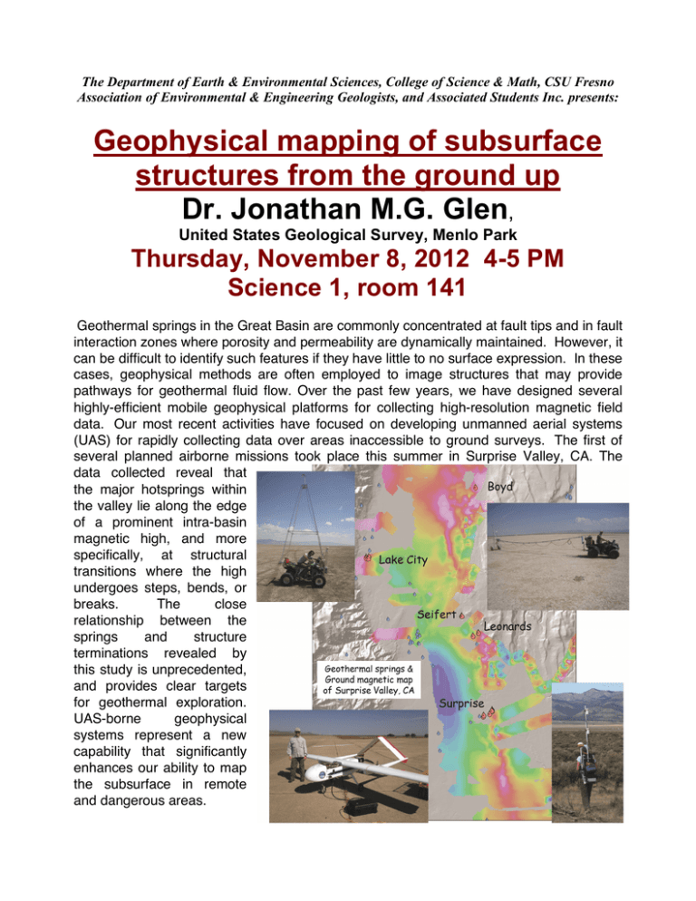
The Department of Earth & Environmental Sciences, College of Science & Math, CSU Fresno Association of Environmental & Engineering Geologists, and Associated Students Inc. presents: Geophysical mapping of subsurface structures from the ground up Dr. Jonathan M.G. Glen, United States Geological Survey, Menlo Park Thursday, November 8, 2012 4-5 PM Science 1, room 141 Geothermal springs in the Great Basin are commonly concentrated at fault tips and in fault interaction zones where porosity and permeability are dynamically maintained. However, it can be difficult to identify such features if they have little to no surface expression. In these cases, geophysical methods are often employed to image structures that may provide pathways for geothermal fluid flow. Over the past few years, we have designed several highly-efficient mobile geophysical platforms for collecting high-resolution magnetic field data. Our most recent activities have focused on developing unmanned aerial systems (UAS) for rapidly collecting data over areas inaccessible to ground surveys. The first of several planned airborne missions took place this summer in Surprise Valley, CA. The data collected reveal that the major hotsprings within the valley lie along the edge of a prominent intra-basin magnetic high, and more specifically, at structural transitions where the high undergoes steps, bends, or breaks. The close relationship between the springs and structure terminations revealed by this study is unprecedented, and provides clear targets for geothermal exploration. UAS-borne geophysical systems represent a new capability that significantly enhances our ability to map the subsurface in remote and dangerous areas.
