Mapping the Fear of Crime: A micro-approach Chris Williams
advertisement

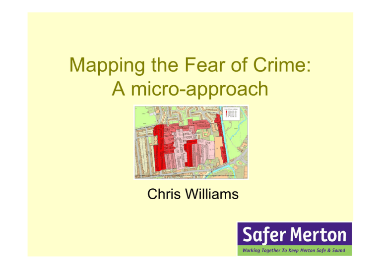
Mapping the Fear of Crime: A micro-approach Chris Williams Why bother with Fear of Crime? • High on the public agenda • Political battleground • Battling against the media The Reassurance Gap Recorded crime is falling…. ..but fear of crime is rising This leads to the “Reassurance Gap” Signal Crimes • An incident that functions as a warning signal of perceived risk for those who experience it • Certain criminal and disorderly acts have a disproportionate impact upon the public’s sense of security Why map the fear of crime? • Pinpointing fear • Using this knowledge to drive activity Previous work Signal Crimes Research • Highlighted areas in a locality • Most often focused around shops – community focal points Leeds & Bradford • Web based “spray can of fear” • Familiarity breeds fear! The demand for micro-mapping • Reassurance policing requires neighbourhood solutions • Reducing fear of crime is as important as reducing crime itself: – “The Government’s key priorities for 2006‐ 09 are to: …continue to develop, evaluate and disseminate good practice on reducing crime and the fear of crime” (Home Office, 2005. Emphasis added) Merton’s Approach • Piggy back on Smartwater • Nearly 100% coverage • A “Census of Fear” Process Survey Mapping Interpretation Action Survey Analysing the results • FOC = 3a+2b+1c x • Means on ordinal scale? –An approximation of an interval scale –Means very close to mode and median suggesting normal distribution Mapping Creating polygons Total Fear of Crime Map 1 here Getting clever • How can we make sense of this? • Focus groups Fear of crime First map again with comments from (ahem) focus group Haydon’s Road Wandle Bank Grove Road The residents say: “There were three burglaries on Grove Road in a week. A man wrote a message on his door to the burglars – so now we all know what’s happening!” Fear of youth ASB The residents say: “Gangs of older kids hang around the primary school and play football on the field after school has finished. They graffiti the cars too.” “Kids mess around in the street on their way to and from the school” Map; explanation of primary school theory and, ahem, confirmation by Routes to the primary school focus group Drugs Map; bloke taking methadone on planter [photo?] All Saints Road Hotham Road Leyton Road The residents say: “There are dealers working over the river” “We find syringes in our drains” “The chemist has an exchange and they sit on our planter” Burglary All Saints Road Map; something about PPO? Wandle Bank (nicer), pictures? Escape routes on arrows? Leyton Road Action • Extra patrols on fearful streets • Worked with primary school to dissuade pupils from causing nuisance and expupils from hanging around outside • Met with drug user and convinced him not to shoot up outside • ABCs for Grove Road teenagers • PPO re-arrested and convicted A toolkit for officers • What do we need? ¾Survey ¾Simple basic maths ¾Basic mapping software skills ¾Public assistance with the interpretation! Use the toolkit and go… Any Questions? Chris Williams Safer Merton chris.williams@merton.gov.uk


